Hartland in Carleton County, New Brunswick — The Atlantic Provinces (North America)
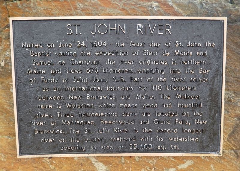
St. John River
Topics and series. This historical marker is listed in these topic lists: Exploration • Waterways & Vessels. In addition, it is included in the Acadian History series list. A significant historical date for this entry is June 24, 1604.
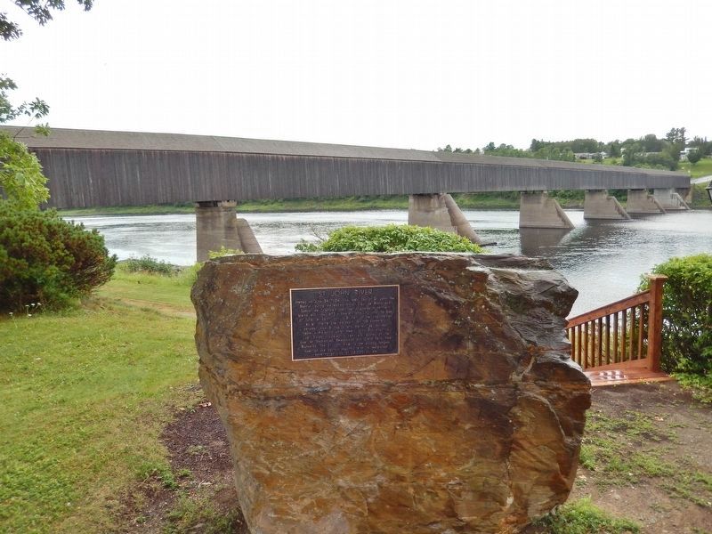
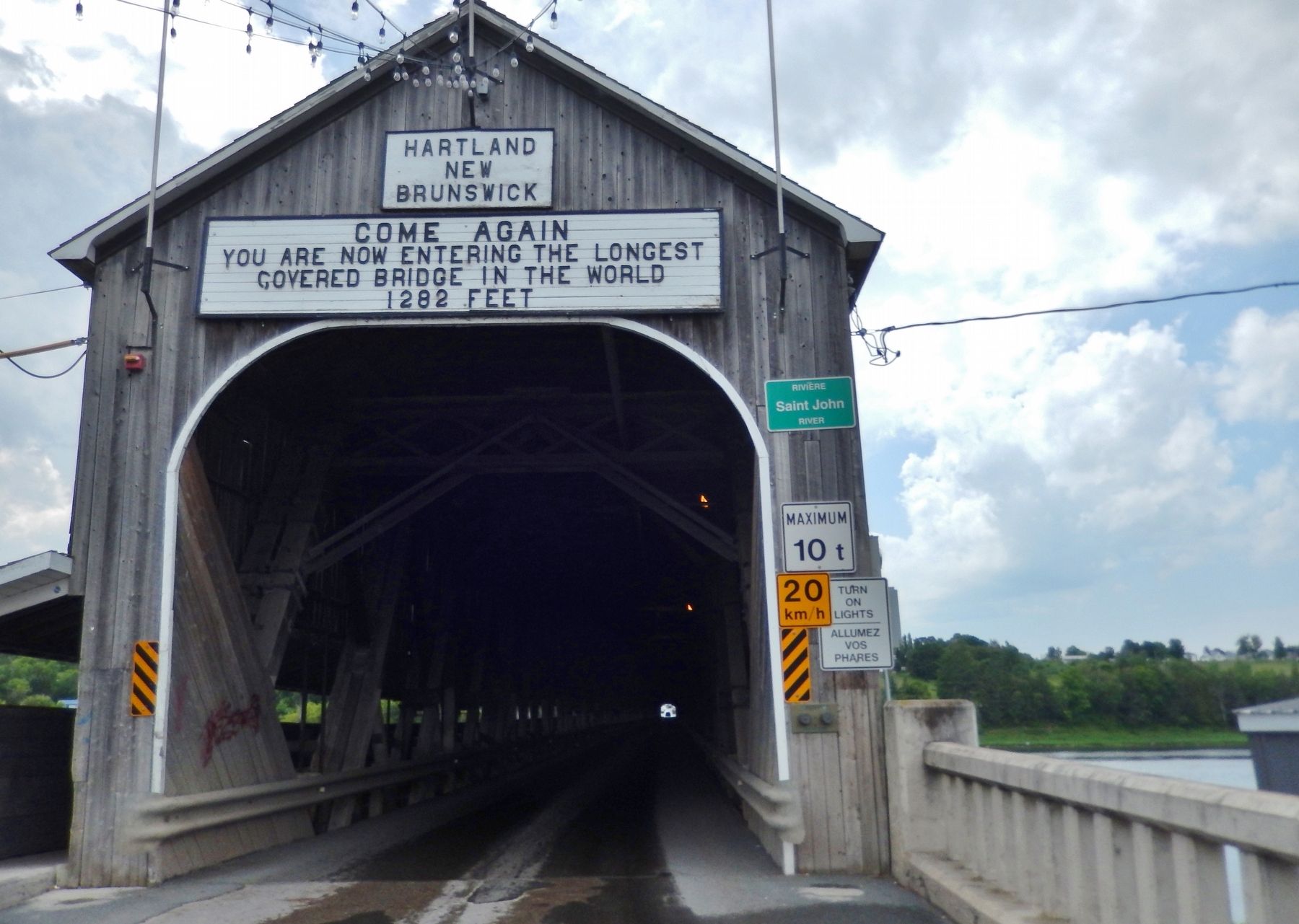
Location. 46° 17.864′ N, 67° 31.713′ W. Marker is in Hartland, New Brunswick, in Carleton County. Marker can be reached from Main Street (Route 105) north of Hartland Hill Bridge Road, on the right when traveling south. Marker is located near the west side of a large parking lot, on the banks of the Saint John River, overlooking the Hartland Hill Bridge. Touch for map. Marker is at or near this postal address: 381 Main Street, Hartland NB E7P 2N3, Canada. Touch for directions.
Other nearby markers. At least 8 other markers are within 18 kilometers of this marker, measured as the crow flies. Hartland Salmon Pool / Fosse à saumon de Hartland (about 120 meters away, measured in a direct line); Town of Hartland (approx. half a kilometer away); Dr. W.D. Rankin House / Maison du Dr. W.D. Rankin (approx. 16.2 kilometers away); Dr. Prescott Private Hospital / Hôpital privé Dr Prescott (approx. 16.4 kilometers away); Woodstock Baptist Church / Église Baptiste de Woodstock (approx. 16.5 kilometers away); 7.7cm Feldkanone (Field Cannon) / Canon de terrain (approx. 16.5 kilometers away); Carleton County Court House / Palais je Justice du comté de Carleton (approx. 16.6 kilometers away); Carleton County Gaol / Prison du Comté de Carleton (approx. 16.6 kilometers away). Touch for a list and map of all markers in Hartland.
Also see . . . Saint John River (Wikipedia). (Submitted on September 8, 2019, by Cosmos Mariner of Cape Canaveral, Florida.)
Credits. This page was last revised on September 8, 2019. It was originally submitted on September 5, 2019, by Cosmos Mariner of Cape Canaveral, Florida. This page has been viewed 202 times since then and 19 times this year. Photos: 1, 2, 3. submitted on September 8, 2019, by Cosmos Mariner of Cape Canaveral, Florida.


