Barnegat in Barnegat Township in Ocean County, New Jersey — The American Northeast (Mid-Atlantic)
Land Between the Lines
Cedar Bridge Tavern
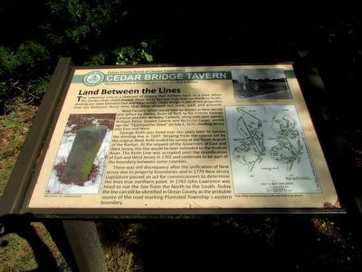
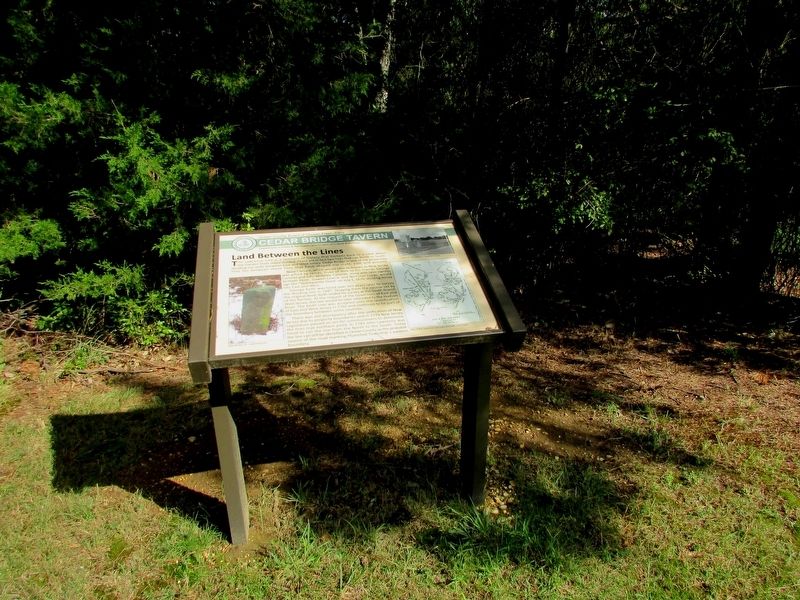
The Lawrence Line is a remnant of history that harkens back to a time when the Garden State stood divided. There are in fact two lines that run North to South, dividing our state between East and West Jersey. Cedar Bridge is one of the properties that lies between these lines that have shaped our state, past and present.
Nova Caesare, which would later be known as New Jersey, was gifted by James, Duke of York to his friends George Carteret and John Berkley. Carteret, along with later owners William Penn, Gawen Lawrie and Nicholas Lucas, would sign the “Quintipartite Deed” on July 1, 1676, dividing Jersey into East and West.
George Keith was hired over ten years later to survey the dividing line in 1687. Straying from the course set by the original deed, Keith ended his survey at the South Branch of the Raritan. At the request of the Governors of East and West Jersey, this line would be later extended to the Hudson River. The Keith Line was accepted until the reunification of East and West Jersey in 1702 and continues to be part of the boundary between some counties.
There was still discrepancy after the unification of New Jersey due to property boundaries and in 1779 New Jersey Legislature passed an act for commissioners to determine the lines true northern point. In 1743 John Lawrence was hired to run the line from the North to the South. Today the line can still be identified in Ocean County as the probable source of the road marking Plumsted Township’s eastern boundary.
Erected by Ocean County.
Topics. This historical marker is listed in these topic lists: Colonial Era • Political Subdivisions. A significant historical date for this entry is July 1, 1676.
Location. 39° 47.009′ N, 74° 21.608′ W. Marker is in Barnegat Township, New Jersey, in Ocean County. It is in Barnegat. Marker is on Old Cedar Bridge Road, on the right when traveling west. Touch for map. Marker is at or near this postal address: 382 Old Cedar Bridge Rd, Barnegat NJ 08005, United States of America. Touch for directions.
Other nearby markers. At least 8 other markers are within walking distance of this marker. A Haven in the Heat (a few steps from this marker); Fire: Nature’s Double Agent (a few steps from this marker); One in a Mill-ion (within shouting distance of this marker); Last Stand of the Revolution (within shouting distance of this marker); Historical Horticulture (about 300 feet away, measured in a direct line); Welcome to West Jersey (approx. 0.6 miles away); Welcome to East Jersey (approx. 0.6 miles away); Affair at Cedar Bridge (approx. 0.8 miles away). Touch for a list and map of all markers in Barnegat Township.
More about this marker. A photograph of Mile Marker 14 of the Lawrence Line appears at the bottom left of the marker.
The right side of the marker contains a photo of a Lawrence Line Marker in Englewood, NJ and a Map of the Lawrence Line and the Keith Line.
Credits. This page was last revised on February 7, 2023. It was originally submitted on September 8, 2019, by Bill Coughlin of Woodland Park, New Jersey. This page has been viewed 274 times since then and 40 times this year. Photos: 1, 2, 3, 4. submitted on September 8, 2019, by Bill Coughlin of Woodland Park, New Jersey.


