Wells Township near Escanaba in Delta County, Michigan — The American Midwest (Great Lakes)
Escanaba River
The Legend / The Lumbermen
Escanaba River: The Legend
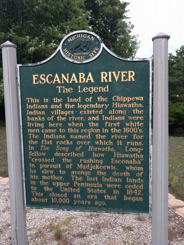
This is the land of the Chippewa Indians and the legendary Hiawatha. Indian villages existed along the banks of the river, and Indians were living here when the first white men came to this region in the 1600's. The Indians named the river for the flat rocks over which it runs. In The Song of Hiawatha, Longfellow described how Hiawatha "crossed the rushing Esconaba" in pursuit of Mudjekeewis, whom he slew to avenge the death of his mother. The last Indian lands in the upper Peninsula were ceded to the United States in 1842. This closed an era that began about 10,000 years ago.
Escanaba River: The Lumbermen
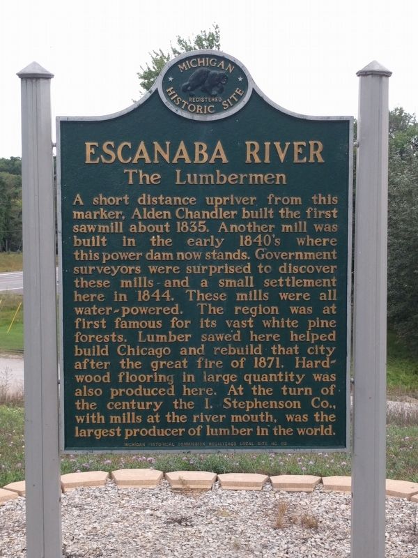
A short distance upriver from this marker, Alden Chandler built the first sawmill about 1835. Another mill was built in the early 1840's where this power dam now stands. Government surveyors were surprised to discover these mills and a small settlement here in 1844. These mills were all water-powered. The region was at first famous for its vast white pine forests. Lumber sawed here helped build Chicago and rebuild that city after the great fire of 1871. Hardwood flooring in large quantity was also produced here. At the turn of the century the I. Stephenson Co., with mills at the river mouth, was the largest producer of lumber in the world.
Erected by Michigan Historical Commission. (Marker Number L63.)
Topics and series. This historical marker is listed in these topic lists: Industry & Commerce • Native Americans • Waterways & Vessels. In addition, it is included in the Michigan Historical Commission series list. A significant historical year for this entry is 1842.
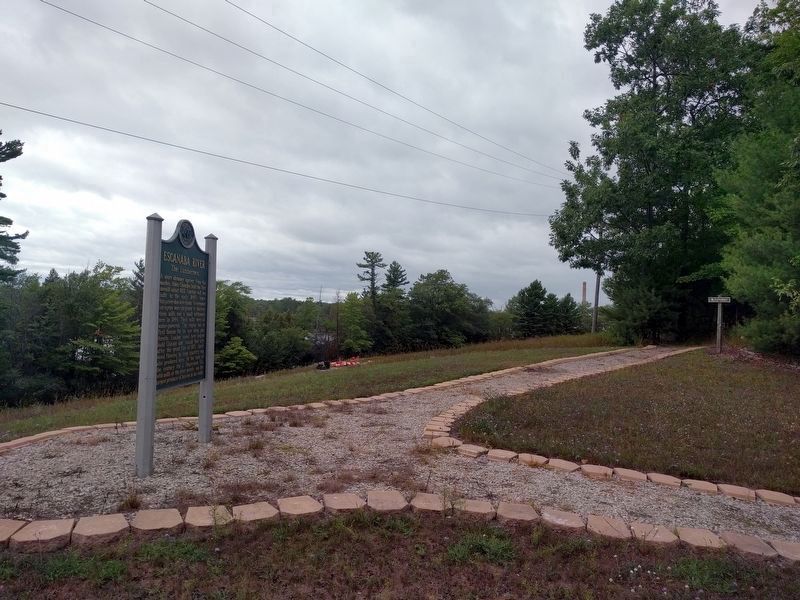
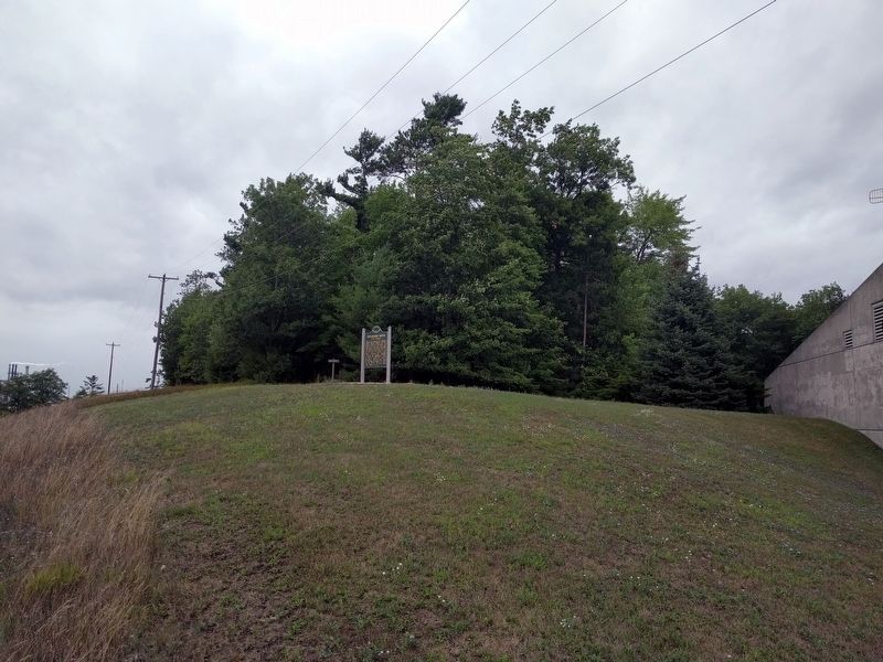
Location. 45° 47.828′ N, 87° 4.593′ W. Marker is near Escanaba, Michigan, in Delta County. It is in Wells Township. Marker can be seen from northbound US Highway 2/US Highway 41/State Highway 35 on a hill next to the Michigan Department of Natural Resources Escanaba Forest Management Unit building. The marker can be reached by a trail from the Forest Management Unit parking lot, which is accessed from Mead Road. Touch for map. Marker is at or near this postal address: 6833 Hwy 2, 41 & M-35, Escanaba MI 49829, United States of America. Touch for directions.
Other nearby markers. At least 8 other markers are within 4 miles of this marker, measured as the crow flies. Forest Management (a few steps from this marker); Waterpowered Sawmills (within shouting distance of this marker); Isaac Stephenson (within shouting distance of this marker); Lumberjacks (about 300 feet away, measured in a direct line); River Drives (about 400 feet away); Bill Bonifas (about 500 feet away); First Public Schoolhouse in Escanaba (approx. 3.8 miles away); Ludington Hotel (approx. 3.8 miles away). Touch for a list and map of all markers in Escanaba.
Also see . . . Chapter 4 “Hiawatha and Mudjekeewis”. Excerpt from The Song of Hiawatha by Henry Wadsworth Longfellow, Chapter 4.
So he journeyed westward, westward,(Submitted on February 28, 2024, by J. J. Prats of Powell, Ohio.)
Left the fleetest deer behind him,
Left the antelope and bison;
Crossed the rushing Esconaba,
Crossed the mighty Mississippi,
Passed the Mountains of the Prairie,
Passed the land of Crows and Foxes,
Passed the dwellings of the Blackfeet,
Came unto the Rocky Mountains,
To the kingdom of the West-Wind,
Where upon the gusty summits
Sat the ancient Mudjekeewis,
Ruler of the winds of heaven.
Credits. This page was last revised on February 28, 2024. It was originally submitted on September 8, 2019, by Joel Seewald of Madison Heights, Michigan. This page has been viewed 231 times since then and 27 times this year. Photos: 1, 2, 3, 4. submitted on September 8, 2019, by Joel Seewald of Madison Heights, Michigan.


