Port Hastings in Inverness County, Nova Scotia — The Atlantic Provinces (North America)
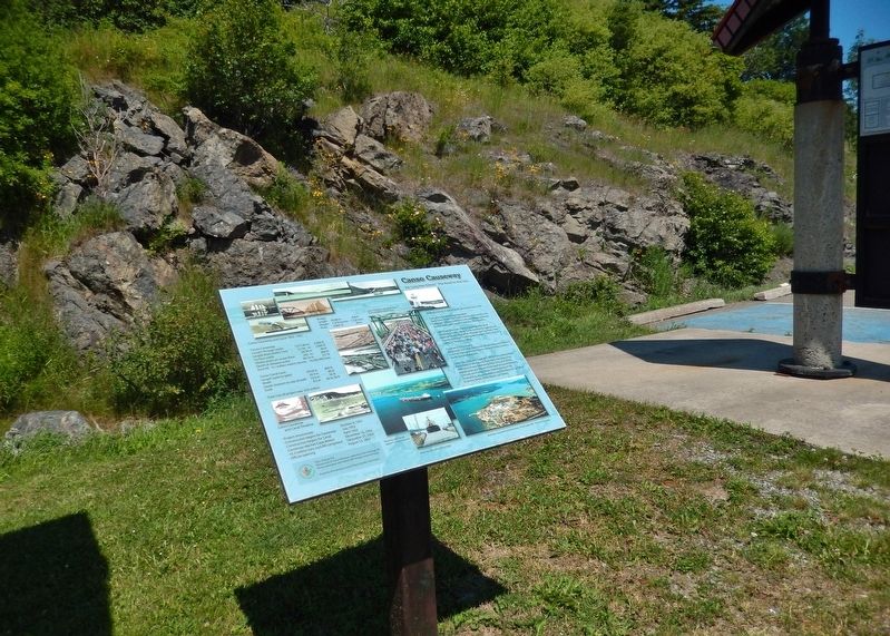
Canso Causeway
"Air Lorg Nan Eilean," The Road to the Isles
Making a Living in the Strait of Canso Area since 1784.
Transportation and Communication
Early Years: Stage Coach Lines, Ferries, Mail Service Link, Telegraph Offices, American Consular Offices, Railroads, Boston Boats and Coastal Freighters, Newspapers.
Later Years: Railroads, Canso Causeway and Canal completed in 1955, Nova Scotia Community College and Nautical School, Post office, Pilotage and Tug boats, Ship Chandlery, Airport, Trucking, Newspapers, Radio Station & Cable TV, Telephone Office.
Commerce and Industry
Early Years: Grist Mills, Blacksmith, Shipbuilding and Repairs, Coal Pier, Fishing and Fish Plants, General Stores, Forestry, Banks, Accommodations.
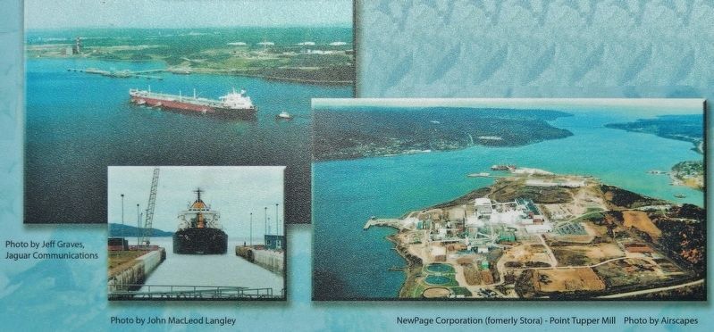
Later Years: Pulp and Paper Mill, Oil Refinery, Heavy Water Plant, Gypsum Mining and Exporting, Manufacturing Wallboard, Power Generating Plant, Ship and Oil Rig Maintenance and Repairs, Rock Quarrying and Shipping, Concrete and Paving Plants, Transshipping of Oil, Shipbuilding, Accommodations and Restaurants, Car Sales & Service, Banks, Retail Stores, Call Centre.
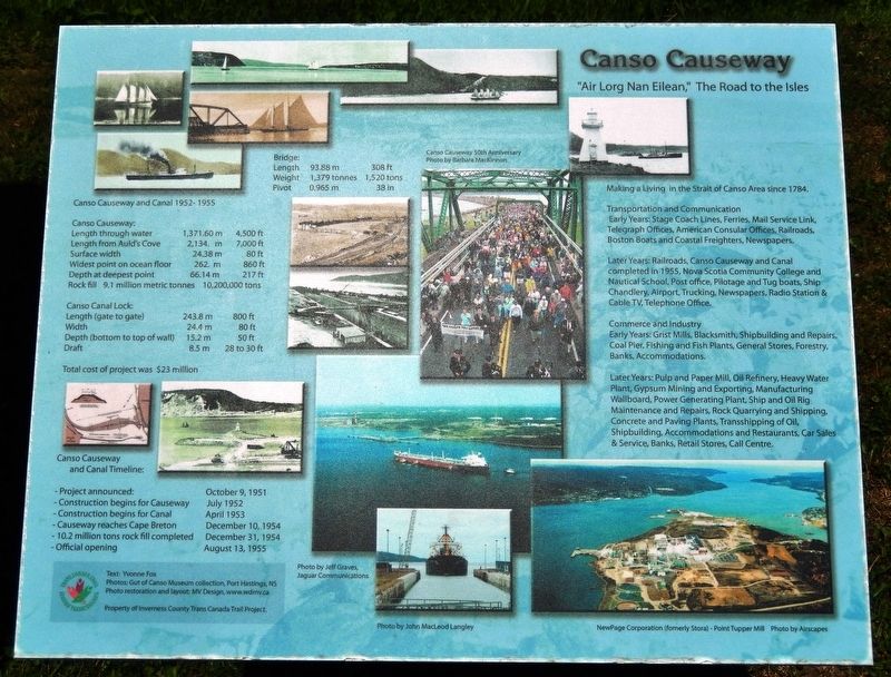
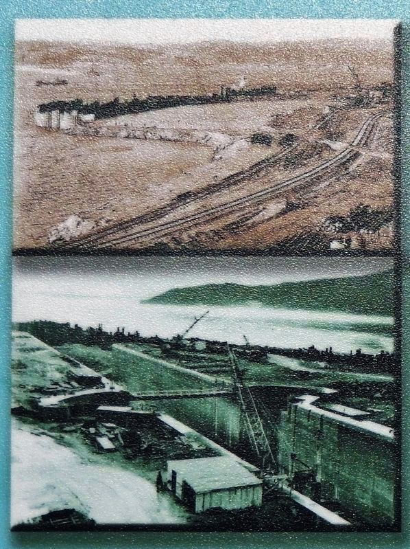
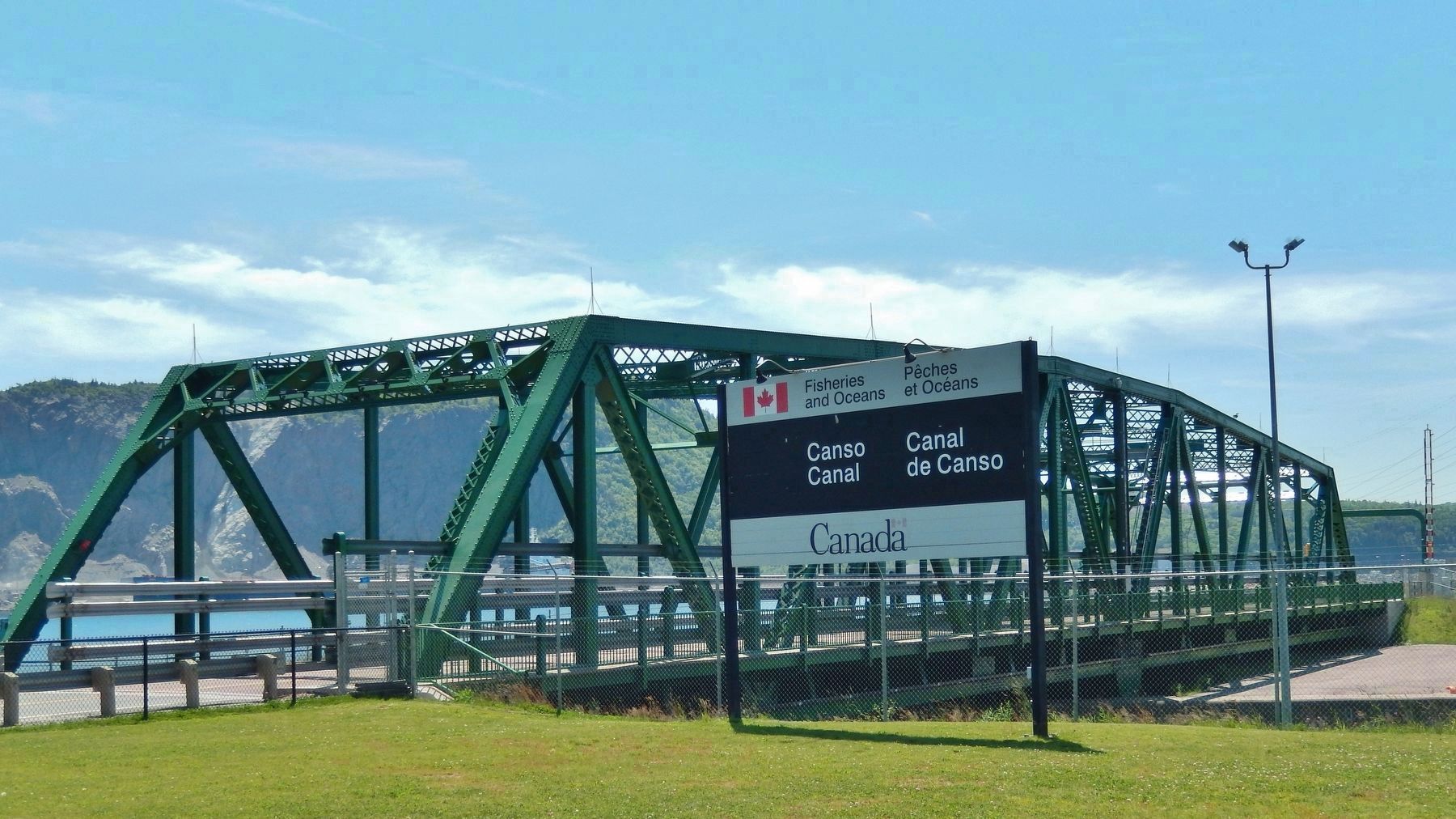
Canso Causeway and Canal 1952-1955
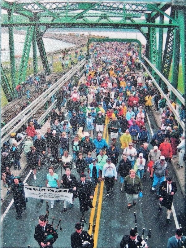
Bridge:
Length: 93.88 m (308 ft)
Weight: 1,379 tonnes (1,520 tons)
Pivot: 0.965 m (38 in)
Canso Causeway:
Length through water: 1371.60 m (4,500 ft)
Length from Auld's Cove: 2,134 m (7,000 ft)
Surface width: 24.38 m (80 ft)
Widest point on ocean floor: 262 m (860 ft)
Depth at deepest point: 66.14 m (217 ft)
Rock fill: 9.1 million metric tonnes (10,200,000) tons
Canso Canal Lock:
Length (gate to gate): 243.8 m (800 ft)
Width: 24.4 m (80 ft)
Depth (bottom to top of wall): 15.2 m (50 ft)
Draft: 8.5 m (28 to 30 ft)
Total cost of project was $23 million
Canso Causeway and Canal Timeline:
- Project announced: October 9, 1951
- Construction begins for Causeway: July 1952
- Construction begins for Canal: April 1953
- Causeway reaches Cape Breton: December 10, 1954
- 10.2 million tons rock fill completed: December 31, 1954
- Official opening: August 13, 1955
Text: Yvonne Fox
Photos: Gut of Canso Museum collection, Port Hastings, NS
Photo restoration and layout: MV Design, www.wdmv.ca
Property of Inverness County Trans Canada Trail Project
Erected by Inverness County Trans Canada Trail Project.
Topics. This historical marker is listed in these topic lists: Bridges & Viaducts • Industry & Commerce • Roads & Vehicles • Waterways & Vessels.
Location. 45° 38.88′ N, 61° 24.738′ W. Marker is in Port Hastings, Nova Scotia, in Inverness County. Marker can be reached from Trans Canada Highway (National Route 104) half a kilometer west of Ceilidh Trail (Route 19), on the right when traveling west. Marker is located in the Celtic Shores Coastal Trail interpretive plaza and trailhead, on the east side of the Canso Causeway. Touch for map. Marker is in this post office area: Port Hastings NS B9A 1J8, Canada. Touch for directions.
Other nearby markers. At least 4 other markers are within walking distance of this marker. History of the Canso Canal / Historique du Canal de Canso (a few steps from this marker); Construction of the Canso Canal / Construction du Canal de Canso (a few steps from this marker); The Building of the Canso Causeway / La Construction de la Levée de Canso (a few steps from this marker); Operation of the Canso Canal / Exploitation du Canal (a few steps from this marker).
Related markers. Click here for a list of markers that are related to this marker. Canso Canal & Causeway
Credits. This page was last revised on September 16, 2019. It was originally submitted on September 9, 2019, by Cosmos Mariner of Cape Canaveral, Florida. This page has been viewed 235 times since then and 33 times this year. Photos: 1. submitted on September 11, 2019, by Cosmos Mariner of Cape Canaveral, Florida. 2, 3, 4, 5, 6. submitted on September 13, 2019, by Cosmos Mariner of Cape Canaveral, Florida.
