West Hills in Suffolk County, New York — The American Northeast (Mid-Atlantic)
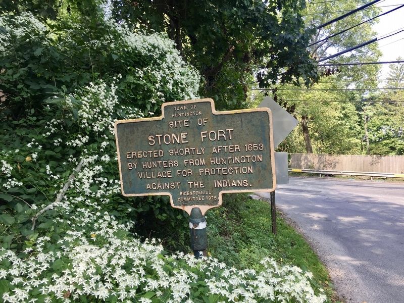
Site of Stone Fort
Erected 1975 by Town of Huntington Bicentennial Committee.
Topics. This historical marker is listed in these topic lists: Forts and Castles • Settlements & Settlers • Wars, US Indian. A significant historical year for this entry is 1653.
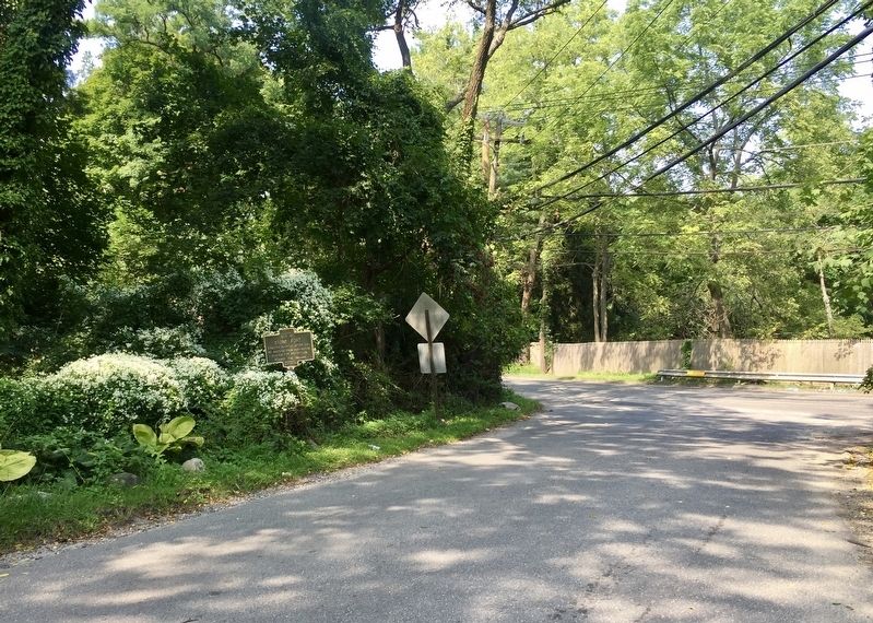
Location. 40° 49.213′ N, 73° 25.296′ W. Marker is in West Hills, New York, in Suffolk County. Marker is at the intersection of Chichester Road and West Hills Road, on the right when traveling west on Chichester Road. Touch for map. Marker is at or near this postal address: 85 Chichester Road, Huntington NY 11743, United States of America. Touch for directions.
Other nearby markers. At least 8 other markers are within walking distance of this marker. Nathaniel Whitman (within shouting distance of this marker); Home of John Whitman (approx. 0.2 miles away); Peace and Plenty Inn (approx. 0.2 miles away); Mountain Mist Spring (approx. ¼ mile away); West Hills School (approx. 0.3 miles away); Walt Whitman (approx. 0.6 miles away); Col. George Washington Brush (approx. 0.8 miles away); Site of Civilian Conservation Corps Camp 1934-1938 (approx. 0.8 miles away). Touch for a list and map of all markers in West Hills.
Credits. This page was last revised on September 11, 2019. It was originally submitted on September 11, 2019, by Andrew Ruppenstein of Lamorinda, California. This page has been viewed 950 times since then and 172 times this year. Photos: 1, 2. submitted on September 11, 2019, by Andrew Ruppenstein of Lamorinda, California.

