St. Ignace in Mackinac County, Michigan — The American Midwest (Great Lakes)
What's in the Water?
St. Ignace Downtown History
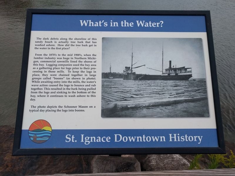
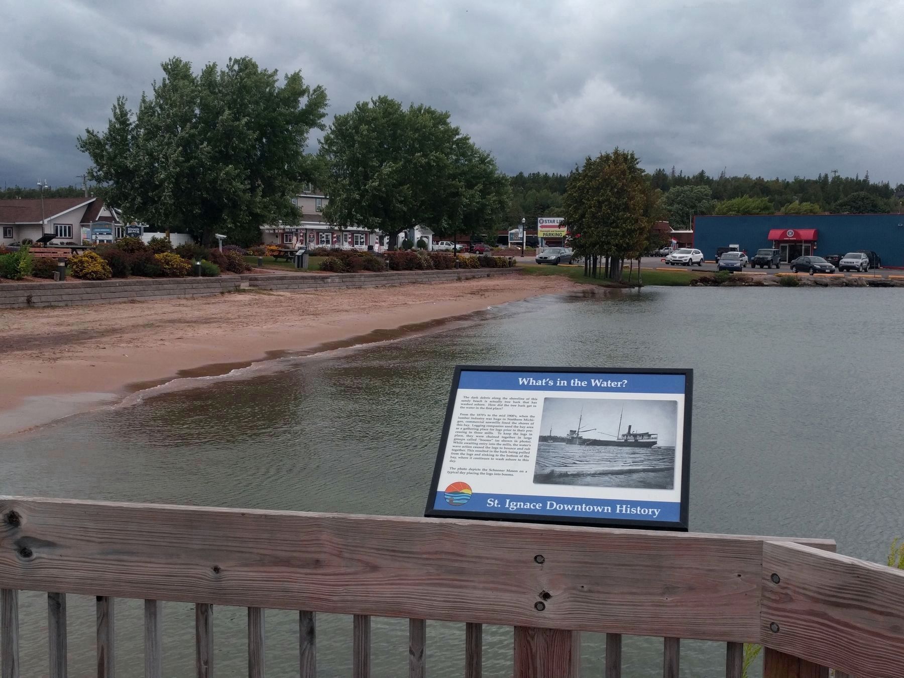
The dark debris along the shoreline of this sandy beach is actually tree bark that has washed ashore. How did the tree bark get in the water in the first place?
From the 1870's to the mid 1900's, when the lumber industry was huge in Northern Michigan, commercial sawmills lined the shores of this bay. Logging companies used the bay area as a gathering place for logs prior to their processing in those mills. To keep the logs in place, they were chained together in large groups called "booms" (as shown in photo). While awaiting entry into the mills, the water's wave action caused the logs to bounce and rub together. This resulted in the bark being pulled from the logs and sinking to the bottom of the bay, where it continues to wash ashore to this day.
The photo depicts the Schooner Mason on a typical day placing the logs into booms.
Topics. This historical marker is listed in these topic lists: Industry & Commerce • Waterways & Vessels.
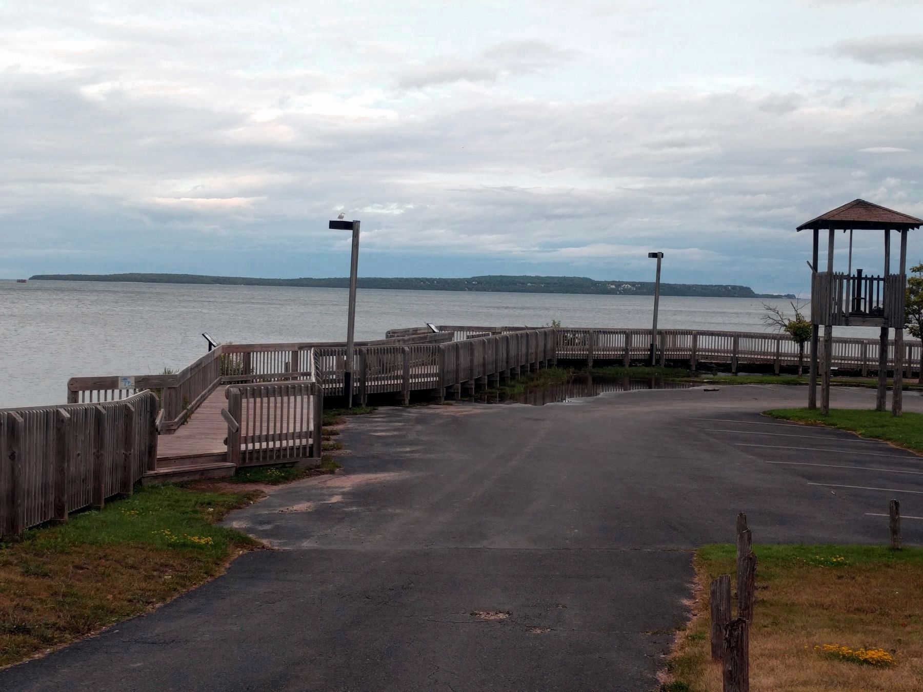
Location. 45° 52.292′ N, 84° 43.831′ W. Marker is in St. Ignace, Michigan, in Mackinac County. Marker can be reached from North State Street (Business Interstate 75) north of Marquette Street, on the right when traveling north. Marker is on the Huron Boardwalk at the south end of Kiwanis Beach. Touch for map. Marker is at or near this postal address: 499 North State Street, Saint Ignace MI 49781, United States of America. Touch for directions.
Other nearby markers. At least 8 other markers are within walking distance of this marker. Voyage of Exploration (a few steps from this marker); Structures of Local Native Americans in the 1600's (a few steps from this marker); Michilimackinac Cove (within shouting distance of this marker); Knights of Columbus Plaque (within shouting distance of this marker); a different marker also named What's in the Water? (within shouting distance of this marker); St. Ignace Mission (within shouting distance of this marker); a different marker also named St. Ignace Mission (within shouting distance of this marker); Two Cultures Meet (about 300 feet away, measured in a direct line). Touch for a list and map of all markers in St. Ignace.
Additional commentary.
1. Identical marker
An identical marker is at Kiwanis Beach park, about 225 feet to the north.
— Submitted September 13, 2019, by Joel Seewald of Madison Heights, Michigan.
Credits. This page was last revised on September 15, 2019. It was originally submitted on September 13, 2019, by Joel Seewald of Madison Heights, Michigan. This page has been viewed 146 times since then and 8 times this year. Photos: 1, 2, 3. submitted on September 13, 2019, by Joel Seewald of Madison Heights, Michigan.


