Stone Cistern
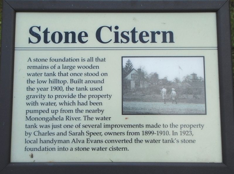
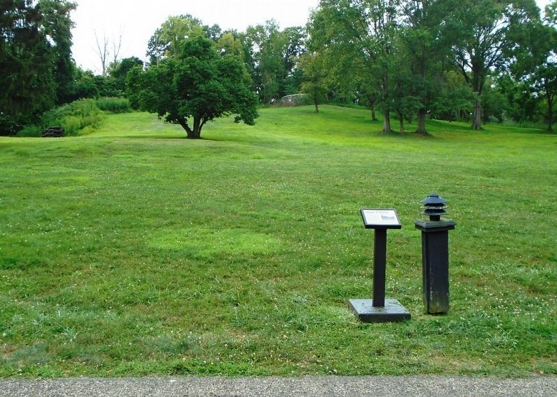
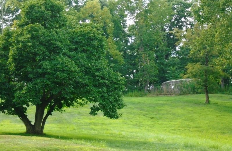
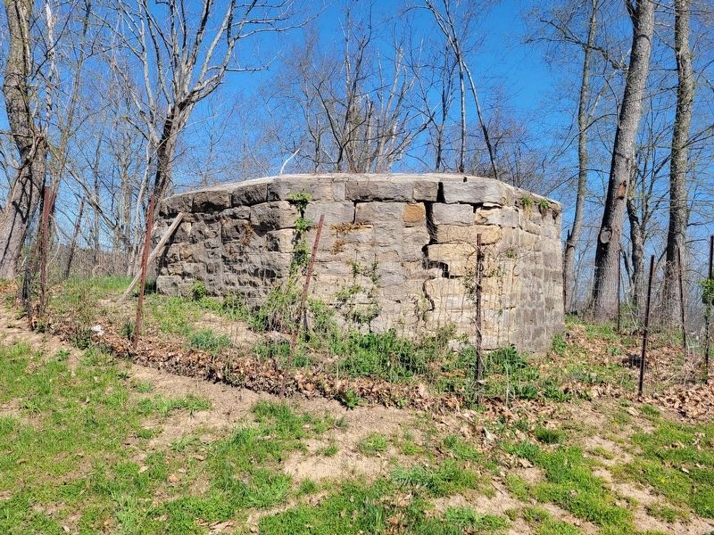
A stone foundation is all that remains of a large wooden water tank that once stood on the low hilltop. Built around the year 1900, the tank used gravity to provide the property with water, which had been pumped up from the nearby Monongahela River. The water tank was just one of several improvements made to the property by Charles and Sarah Speer, owners from 1899-1910. In 1923, local handyman Alva Evans converted the water tank's stone foundation into a stone water cistern.
Erected by National Park Service.
Topics. This historical marker is listed in this topic list: Man-Made Features. A significant historical year for this entry is 1900.
Location. 39° 46.56′ N, 79° 55.879′ W. Marker is near Point Marion, Pennsylvania, in Fayette County. Marker is on the Friendship Hill National Historic Site grounds, along the service road about 150 feet north of the house. Touch for map. Marker is at or near this postal address: 223 New Geneva Road, Point Marion PA 15474, United States of America. Touch for directions.
Other nearby markers. At least 8 other markers are within walking distance of this marker. Friendship Hill (within shouting distance of this marker); Preserving the 1910 Landscape (within
Also see . . . Friendship Hill National Historic Site. (Submitted on September 13, 2019, by William Fischer, Jr. of Scranton, Pennsylvania.)
Credits. This page was last revised on April 16, 2022. It was originally submitted on September 13, 2019, by William Fischer, Jr. of Scranton, Pennsylvania. This page has been viewed 282 times since then and 36 times this year. Photos: 1, 2, 3. submitted on September 13, 2019, by William Fischer, Jr. of Scranton, Pennsylvania. 4. submitted on April 15, 2022, by Bradley Owen of Morgantown, West Virginia.


