Newark in New Castle County, Delaware — The American Northeast (Mid-Atlantic)
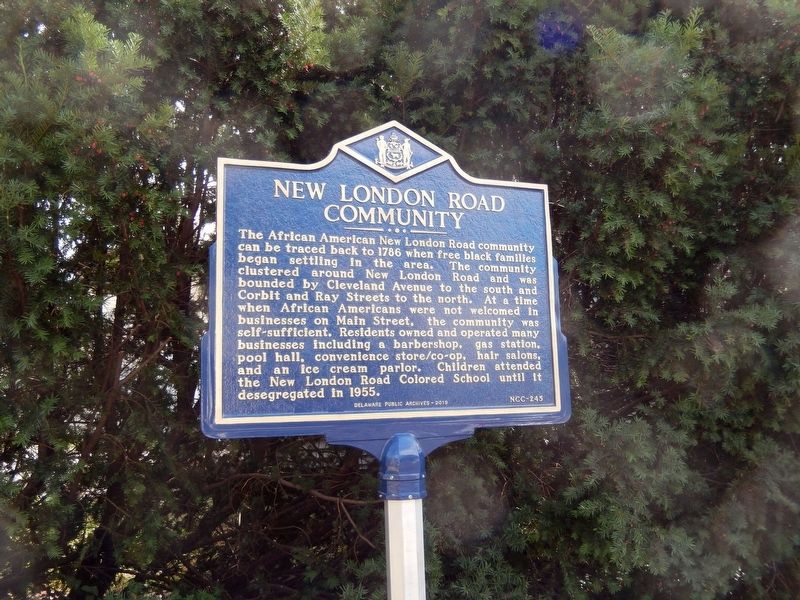
New London Road Community
Erected 2018 by Delaware Public Archives. (Marker Number NCC-245.)
Topics and series. This historical marker is listed in these topic lists: African Americans • Civil Rights. In addition, it is included in the Delaware Public Archives series list. A significant historical year for this entry is 1786.
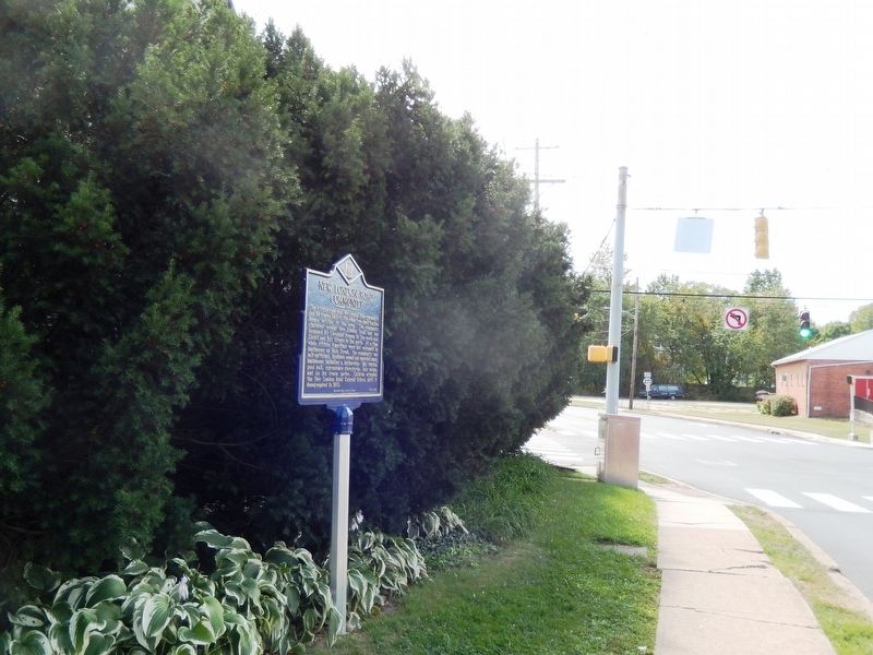
Location. 39° 41.13′ N, 75° 45.481′ W. Marker is in Newark, Delaware, in New Castle County. Marker is at the intersection of Cleveland Avenue and New London Road (Delaware Route 896), on the right when traveling east on Cleveland Avenue. Touch for map. Marker is in this post office area: Newark DE 19711, United States of America. Touch for directions.
Other nearby markers. At least 8 other markers are within walking distance of this marker. St. John African Methodist Church (within shouting distance of this marker); Pride of Delaware Lodge #349 IBPOEW (within shouting distance of this marker); Mt. Zion Union American Methodist Episcopal (UAME) Church (about 400 feet away, measured in a direct line); Newark's New London Community (about 700 feet away); R.T. Foard and Jones Funeral Home (approx. 0.2 miles away); Deer Park Hotel (approx. 0.2 miles away); Old College (approx. ¼ mile away); Raub Hall (approx. ¼ mile away). Touch for a list and map of all markers in Newark.
More about this marker. The road in the photo is Cleveland Avenue, not New London Road. Notice the no-left-turn sign; New London Road, as it runs northbound (left to right), is one-way until it reaches this intersection, and becomes two-way there.
Credits. This page was last revised on August 9, 2020. It was originally submitted on September 14, 2019, by Don Morfe of Baltimore, Maryland. This page has been viewed 255 times since then and 30 times this year. Last updated on August 6, 2020, by Carl Gordon Moore Jr. of North East, Maryland. Photos: 1, 2. submitted on September 14, 2019, by Don Morfe of Baltimore, Maryland. • Bill Pfingsten was the editor who published this page.

