Near Hagerman in Gooding County, Idaho — The American West (Mountains)
Sediments and Fossils

Photographed By Barry Swackhamer, August 8, 2019
1. Sediments and Fossils Marker
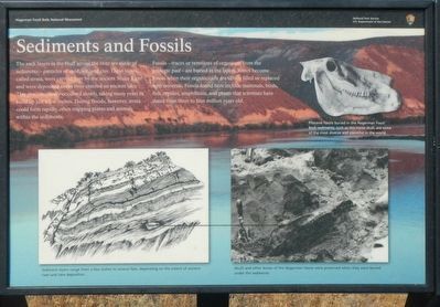
Captions: (upper right) Pliocene fossils buried in the Hagerman Fossil Beds sediments, such as this horse skull, are some of the most diverse and plentiful in the world.l (bottom left) Sediment layers range from a few inches to several feet, depending on the extent of ancient river and lake deposition.; (bottom right) Skulls and other bones of the Hagerman Horse were preserved when they were buried under the sediments.
Fossils - traces or remnants of organisms from the geologic past - are buried in the layers. Bones become fossils when their organic cells are slowly filled or replaced with minerals. Fossils found here include mammals, birds, fish, reptiles, amphibians and plants that scientists have dated from three to four million years old.
Erected by Hagerman Fossil Beds National Monument, National Park Service, U.S. Department of the Interior.
Topics. This historical marker is listed in these topic lists: Natural Features • Paleontology.
Location. 42° 45.786′ N, 114° 55.346′ W. Marker is near Hagerman, Idaho, in Gooding County. Marker can be reached from Bell Rapids Road near Upper Salmon Falls Road, on the right when traveling west. Touch for map. Marker is in this post office area: Hagerman ID 83332, United States of America. Touch for directions.
Other nearby markers. At least 8 other markers are within 2 miles of this marker, measured as the crow flies. A Changing Climate (here, next to this marker); Ancient Lakes (here, next to this marker); Where are the Fossils? (within shouting distance of this marker); "The People" (within shouting distance of this marker); Right Beneath Your Feet (approx. 1.8 miles away); Volcanoes Along the Snake (approx. 1.9 miles away); Manifest Destiny (approx. 1.9 miles away); The Great Westward Migration (approx. 2 miles away). Touch for a list and map of all markers in Hagerman.
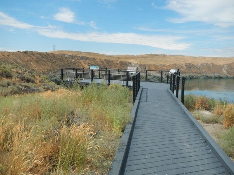
More about this marker. This marker is located at Snake River Overlook in Hagerman Fossil Beds National Monument.
Credits. This page was last revised on September 14, 2019. It was originally submitted on September 14, 2019, by Barry Swackhamer of Brentwood, California. This page has been viewed 150 times since then and 9 times this year. Photos: 1, 2. submitted on September 14, 2019, by Barry Swackhamer of Brentwood, California.
