Marker Logo HMdb.org THE HISTORICAL
MARKER DATABASE
“Bite-Size Bits of Local, National, and Global History”
Kilgore in Gregg County, Texas — The American South (West South Central)
 

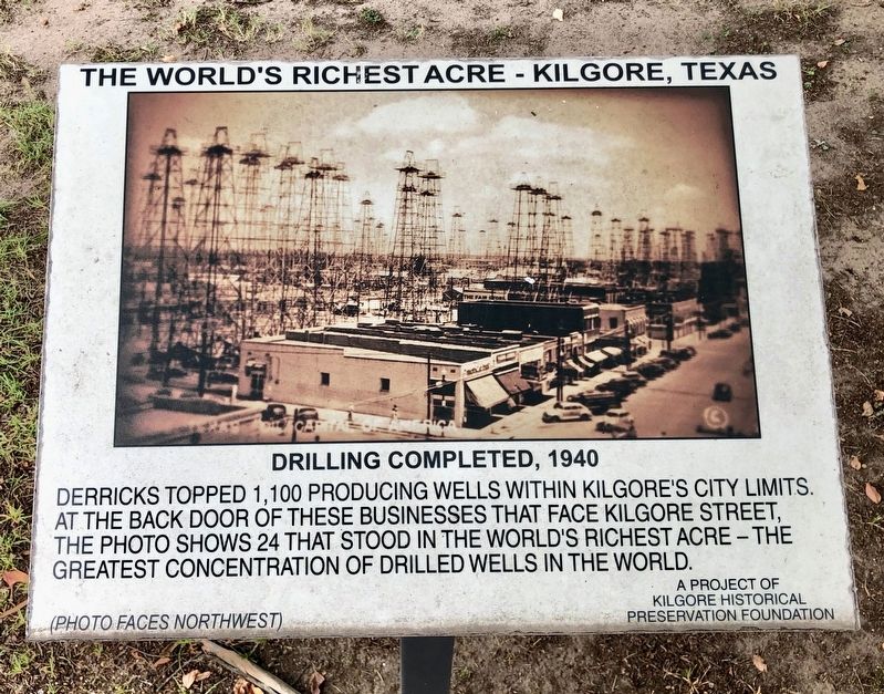
Drilling Completed, 1940

The World's Richest Acre - Kilgore, Texas


Drilling Completed, 1940 Marker image. Click for full size.
Photographed By Mark Hilton, August 31, 2019
1. Drilling Completed, 1940 Marker
Inscription. Derricks topped 1,100 producing wells within Kilgore's city limits. At the back door of these businesses that face Kilgore Street, the photo shows 24 that stood in the world's richest acre – the greatest concentration of drilled wells in the world.

(Photo faces northwest)
 
Erected by Kilgore Historical Preservation Foundation.
 
Topics. This historical marker is listed in these topic lists: ExplorationNatural ResourcesNotable Places.
 
Location. 32° 23.22′ N, 94° 52.556′ W. Marker is in Kilgore, Texas, in Gregg County. Marker is on North Commerce Street north of East Main Street, on the right when traveling north. Touch for map. Marker is at or near this postal address: North Commerce Street, Kilgore TX 75662, United States of America. Touch for directions.
 
Other nearby markers. At least 8 other markers are within walking distance of this marker. Removal (here, next to this marker); Before 1937 Drilling Began (here, next to this marker); During Drilling (here, next to this marker); World's Richest Acre (within shouting distance of this marker); The Kilgore I&GN-Missouri Pacific Railroad Station (within shouting distance of this marker); Kilgore National Bank Building

Paid Advertisement
Click on the ad for more information.
Please report objectionable advertising to the Editor.
Click or scan to see
this page online
(about 500 feet away, measured in a direct line); Lou Della Crim Home (about 600 feet away); Site of Alexander Institute (approx. 0.2 miles away). Touch for a list and map of all markers in Kilgore.
 
Also see . . .  Photos of oil derricks in Kilgore's past. (Submitted on September 15, 2019, by Mark Hilton of Montgomery, Alabama.)
 
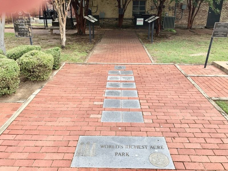
Drilling Completed marker on left at the World’s Richest Acre Park. image. Click for full size.
Photographed By Mark Hilton, August 31, 2019
2. Drilling Completed marker on left at the World’s Richest Acre Park.
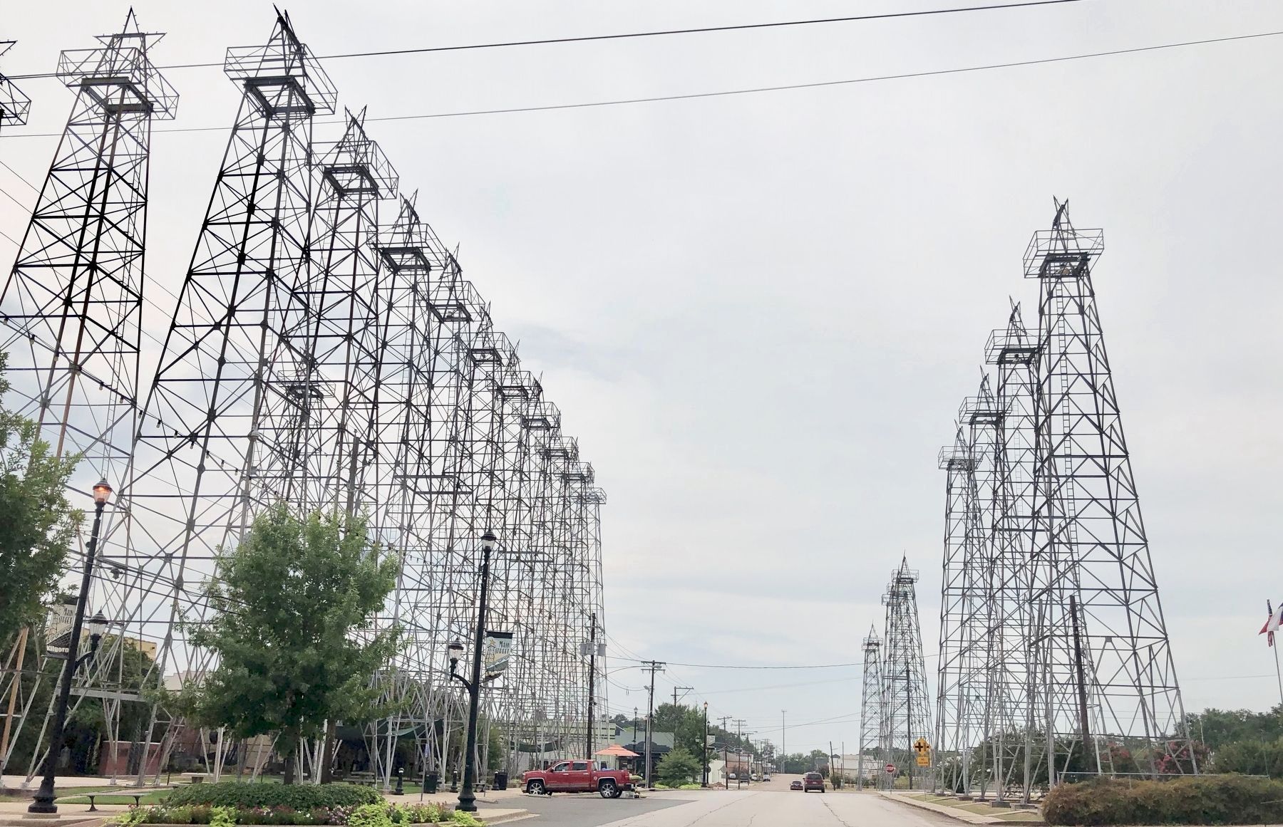
Re-erected oil derricks along North Commerce Street with marker to left of red truck. image. Click for full size.
Photographed By Mark Hilton, August 31, 2019
3. Re-erected oil derricks along North Commerce Street with marker to left of red truck.
 
 
Credits. This page was last revised on September 16, 2019. It was originally submitted on September 15, 2019, by Mark Hilton of Montgomery, Alabama. This page has been viewed 152 times since then and 18 times this year. Photos:   1, 2, 3. submitted on September 15, 2019, by Mark Hilton of Montgomery, Alabama.
Share this page.  
Share on Tumblr
m=139588

CeraNet Cloud Computing sponsors the Historical Marker Database.
This website earns income from purchases you make after using our links to Amazon.com. We appreciate your support.
Paid Advertisement
Apr. 25, 2024