Burlington in Alamance County, North Carolina — The American South (South Atlantic)
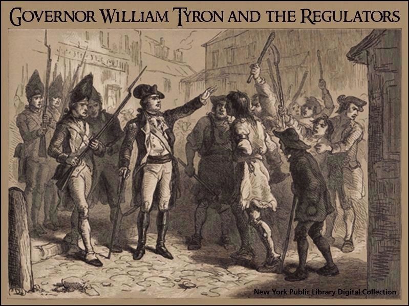
Governor Tryon and the Militia
Inscription.
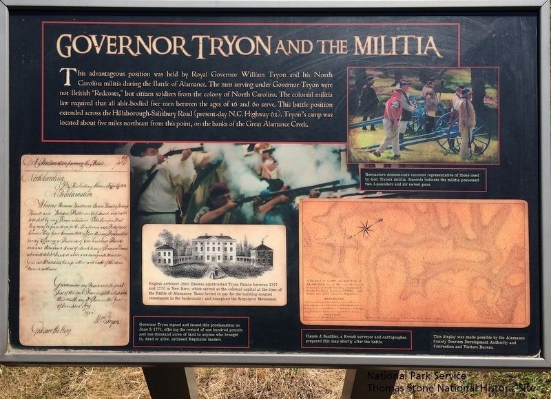
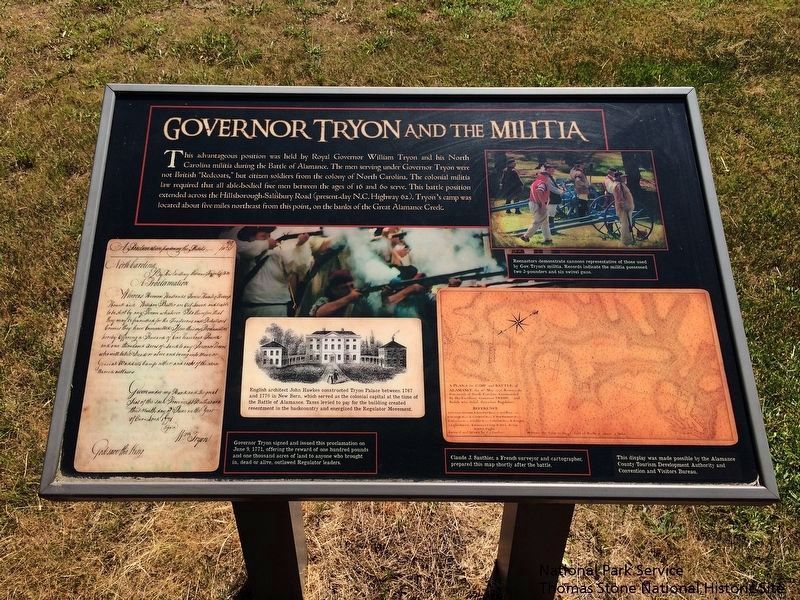
This advantageous position was held by Royal Governor William Tryon and his North Carolina militia during the Battle of Alamance. The men serving Governor Tryon were not British "Redcoats," but the citizen soldiers from the colony of North Carolina. The colonial militia law required that all able-bodied free men between the ages of 16 and 60 serve. This battle position extended across the Hillsborough-Salisbury Road (present-day N.C. Highway 62). Tryon's camp was located about five miles northeast from this point, on the banks of the Great Alamance Creek.
(captions)
English architect John Hawkes constructed Tryon Palace between 1767 and 1770 in New Bern, which served as the colonial capital at the time of the Battle of Alamance. Taxes levied to pay for the building created resentment in the backcountry and energized the Regulator Movement.
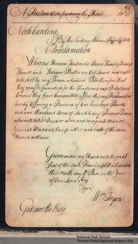
Governor Tryon signed and issued this proclamation on June 9, 1771, offering the reward of one hundred pounds and one thousand acres of land to anyone who brought in, dead or alive, outlawed Regulator leaders.
Reenactors demonstrate cannons representative of those used by Gov. Tryon's militia. Records indicate the militia possessed two 3-pounders and six swivel guns.
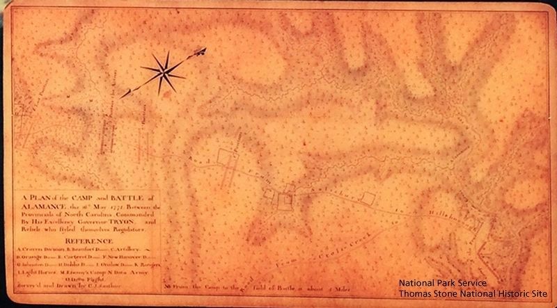
Claude J. Sauthier, a French surveyor and cartographer, prepared this map shortly after the battle.
This display was made possible by the Alamance County Tourism Development Authority and Convention and Visitors Bureau.
Erected by Alamance County Tourism Development Authority and Convention and Visitors Bureau.
Topics. This historical marker is listed in these topic lists: Patriots & Patriotism • War, US Revolutionary. A significant historical date for this entry is June 9, 1771.
Location. 36° 0.491′ N, 79° 31.293′ W. Marker is in Burlington, North Carolina, in Alamance County. Marker is at the intersection of State Highway 62 and Clapp Mill Road, on the right when traveling east on State Highway 62. Touch for map. Marker is at or near this postal address: 5803 NC-62 S, Burlington NC 27215, United States of America. Touch for directions.
Other nearby markers. At least 8 other markers are within walking distance of this marker. Battle of Alamance (a few steps from this marker); The Regulators' Field (a few steps from this marker); First Battle of the Revolution (within shouting distance of this marker); Battle of Alamance Monument (within shouting distance of this marker); a different marker also named Battle of Alamance (about 300 feet away, measured in a direct line); Pugh's Rock (about 300 feet away); The Battle of the Alamance (about 400 feet away); Colonial Column (about 400 feet away). Touch for a list and map of all markers in Burlington.
Also see . . .
Alamance Battleground. North Carolina Historic Sites (Submitted on September 18, 2019.)
Credits. This page was last revised on September 19, 2019. It was originally submitted on September 18, 2019. This page has been viewed 414 times since then and 27 times this year. Photos: 1, 2, 3, 4, 5. submitted on September 18, 2019. • Bernard Fisher was the editor who published this page.
