Near Cuba in Crawford County, Missouri — The American Midwest (Upper Plains)
The Osage Trail
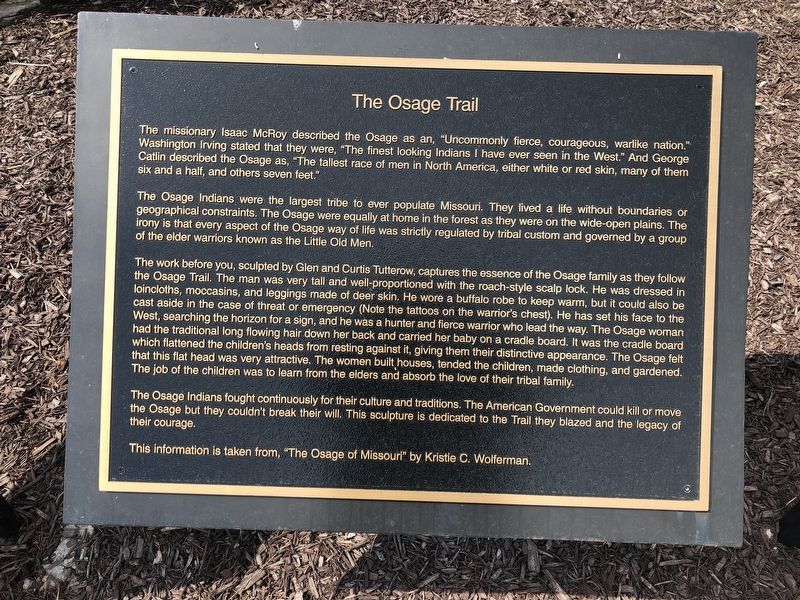
The missionary Isaac McRoy described the Osage as an, "Uncommonly fierce, courageous, warlike nation." Washington Irving stated that they were, "The finest looking Indians I have ever seen in the West." And George Catlin described the Osage as, "The tallest race of men in North America, either white or red skin, many of them six and a half, and others seven feet."
The Osage Indians were the largest tribe to ever populate Missouri. They lived a life without boundaries or geographical constraints. The Osage were equally at home in the forest as they were on the wide-open plains. The irony is that every aspect of the Osage way of life was strictly regulated by tribal custom and governed by a group of the elder warriors known as the Little Old Men.
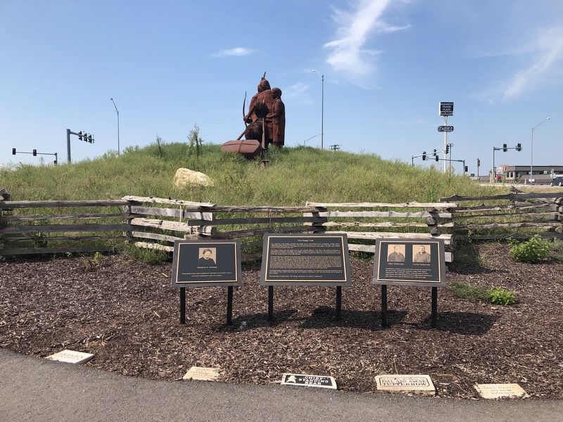
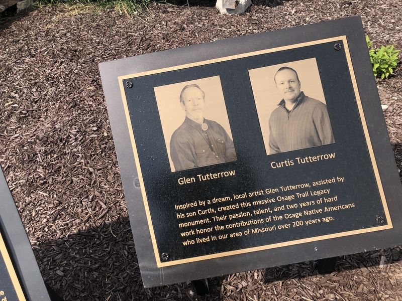
The work before you, sculpted by Glen and Curtis Tutterow, captures the essence of the Osage family as they follow the Osage Trail. The man was very tall and well-proportioned with the roach-style scalp lock. He was dressed in loincloths, moccasins, and leggings made of deer skin. He wore a buffalo robe to keep warm, but it could also be cast aside in the case of threat or emergency (Note the tattoos on the warrior's chest). He has set his face to the West, searching the horizon for a sign, and he was a hunter and fierce warrior who led the way. The Osage woman had the traditional long flowing hair down her back and carried her baby on a cradle board. It was the cradle board which flattened the children's heads from resting against it, giving them their distinctive appearance. The Osage felt that this flat head was very attractive. The women built houses, tended the children, made clothing, and gardened. The job of the children was to learn from the elders and absorb the love of their tribal family.
The Osage Indians fought continuously for their culture and traditions. The American Government could kill or move the Osage but they couldn't break their will. This sculpture is dedicated to the Trail they blazed and the legacy of their courage.
This information is taken from, "The Osage of Missouri" by Kristie C. Wolferman.
Topics. This historical marker is listed in this topic list: Native Americans.
Location. 38° 4.452′ N, 91° 24.371′ W. Marker is near Cuba, Missouri, in Crawford County. Marker can be reached from State Highway P, 0.1 miles east of State Route 19, on the right when traveling east. Touch for map. Marker is at or near this postal address: 71 Highway P, Cuba MO 65453, United States of America. Touch for directions.
Other nearby markers. At least 8 other markers are within walking distance of this marker. The Beginning (a few steps from this marker); Expansion of America (within shouting distance of this marker); Today's Warriors
Credits. This page was last revised on November 7, 2023. It was originally submitted on September 18, 2019, by Devry Becker Jones of Washington, District of Columbia. This page has been viewed 364 times since then and 30 times this year. Photos: 1, 2, 3, 4. submitted on September 18, 2019, by Devry Becker Jones of Washington, District of Columbia.


