Sioux Falls in Minnehaha County, South Dakota — The American Midwest (Upper Plains)
Linear Mound
Side 1
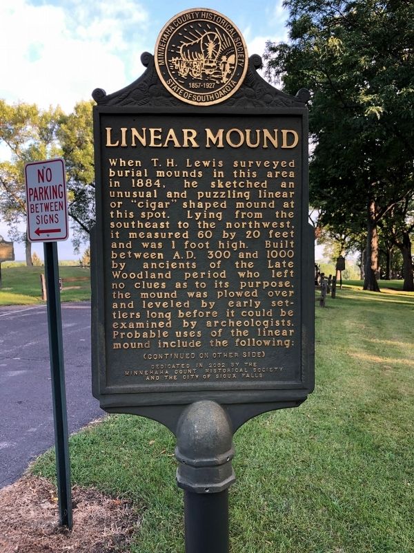
When T.H. Lewis surveyed burial mounds in this area in 1884, he sketched an unusual and puzzling linear or "cigar" shaped mound at this spot. Lying from the southeast to the northwest, it measured 60 by 20 feet and was 1 foot high. Built between A.D. 300 and 1000 by ancients of the Late Woodland period who left no clues as to its purpose, the mound was plowed over and leveled by early settlers long before it could be examined by archeologists. Probable uses of the linear mound include the following:
Side 2
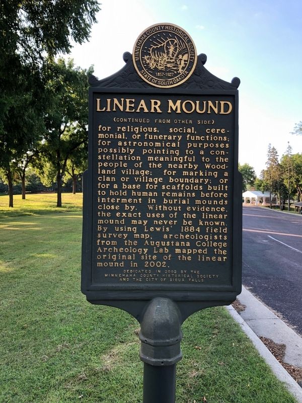
for religious, social, ceremonial, or funerary functions; for astronomical purposes possibly pointing to a constellation meaningful to the people of the nearby Woodland village; for marking a clan or village boundary; or for a base for scaffolds built to hold human remains before interment in burial mounds close by. Without evidence, the exact uses of the linear mound may never be known. By using Lewis 1884 field survey map, archeologists from the Augustana College Archeology Lab mapped the original site of the linear mound in 2002.
Erected 2002 by Minnehaha County Historical Society and the City of Sioux Falls.
Topics. This historical marker is listed in these topic lists: Anthropology & Archaeology • Man-Made Features • Native Americans. A significant historical year for this entry is 1884.
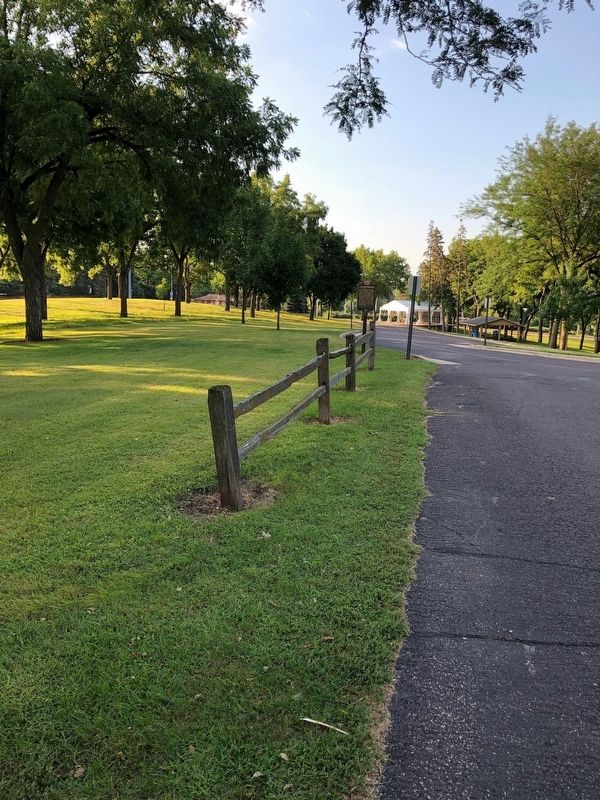
Location. 43° 32.071′ N, 96° 45.729′ W. Marker is in Sioux Falls, South Dakota, in Minnehaha County. Marker is located in Sherman Park. Touch for map. Marker is at or near this postal address: 3410 W 22nd Street, Sioux Falls SD 57105, United States of America. Touch for directions.
Other nearby markers. At least 8 other markers are within walking distance of this marker. Sherman Park Indian Burial Mounds (here, next to this marker); Ceremonial Dance Circle (within shouting distance of this marker); The Fifth Mound (about 300 feet away, measured in a direct line); Mound Builders Village (about 500 feet away); 500 A.D. Copper Knife (about 600 feet away); Earth-Hut Villages (about 700 feet away); Sherman Park (about 700 feet away); E. A. Sherman (about 700 feet away). Touch for a list and map of all markers in Sioux Falls.
Credits. This page was last revised on September 19, 2019. It was originally submitted on September 19, 2019, by Ruth VanSteenwyk of Aberdeen, South Dakota. This page has been viewed 362 times since then and 24 times this year. Last updated on September 19, 2019, by Ruth VanSteenwyk of Aberdeen, South Dakota. Photos: 1, 2, 3. submitted on September 19, 2019, by Ruth VanSteenwyk of Aberdeen, South Dakota. • Andrew Ruppenstein was the editor who published this page.


