Walhalla in Oconee County, South Carolina — The American South (South Atlantic)
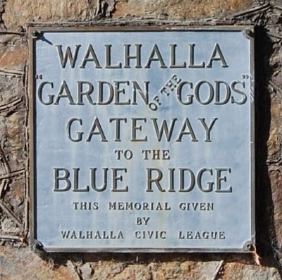
Walhalla
Gateway
to the
Blue Ridge
Erected by Walhalla Civil League.
Topics. This historical marker is listed in this topic list: Settlements & Settlers.
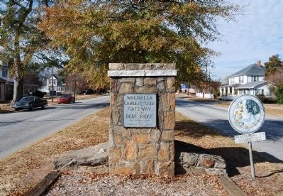
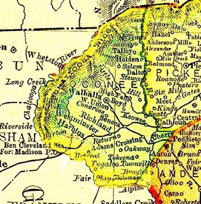
Location. 34° 45.833′ N, 83° 3.585′ W. Marker is in Walhalla, South Carolina, in Oconee County. Marker is on East Main Street, on the left when traveling west. Marker is located in the island located at the intersection of East Main and South John Streets. Touch for map. Marker is in this post office area: Walhalla SC 29691, United States of America. Touch for directions.
Other nearby markers. At least 10 other markers are within walking distance of this marker. Newberry College (approx. 0.4 miles away); Oconee Heritage Center (approx. 0.4 miles away); Duty, Honor, Country (approx. 0.4 miles away); The Silver Rose (approx. 0.4 miles away); Combat Infantrymen Monument (approx. 0.4 miles away); Oconee County Veterans Memorial (approx. half a mile away); Colonel R.T. Jaynes (approx. half a mile away); Patriot's Hall: Oconee Veterans Museum (approx. half a mile away); Gen. John A. Wagener (approx. half a mile away); The English School (approx. half a mile away). Touch for a list and map of all markers in Walhalla.
Also see . . . Walhalla, South Carolina. Walhalla is a city in Oconee County, South Carolina, United States. (Submitted on November 30, 2008, by Brian Scott of Anderson, South Carolina.)
Credits. This page was last revised on December 4, 2020. It was originally submitted on November 30, 2008, by Brian Scott of Anderson, South Carolina. This page has been viewed 894 times since then and 19 times this year. Photos: 1, 2, 3. submitted on November 30, 2008, by Brian Scott of Anderson, South Carolina. 4. submitted on July 24, 2009, by Stanley and Terrie Howard of Greer, South Carolina.


