Keifers in Allegany County, Maryland — The American Northeast (Mid-Atlantic)
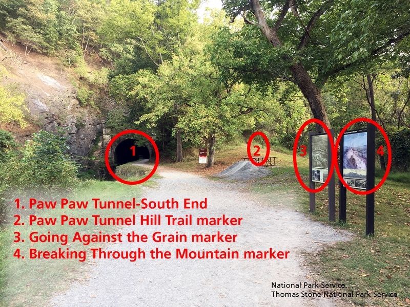
Going Against the Grain
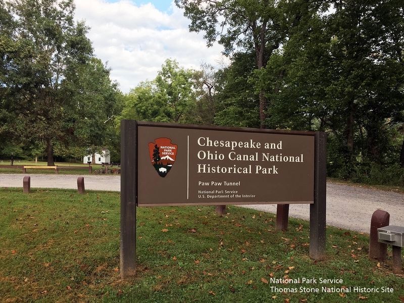
Chesapeake and Ohio Canal National Historical Park
— National Park Service, U.S. Department of the Interior —
Inscription.
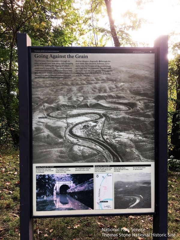
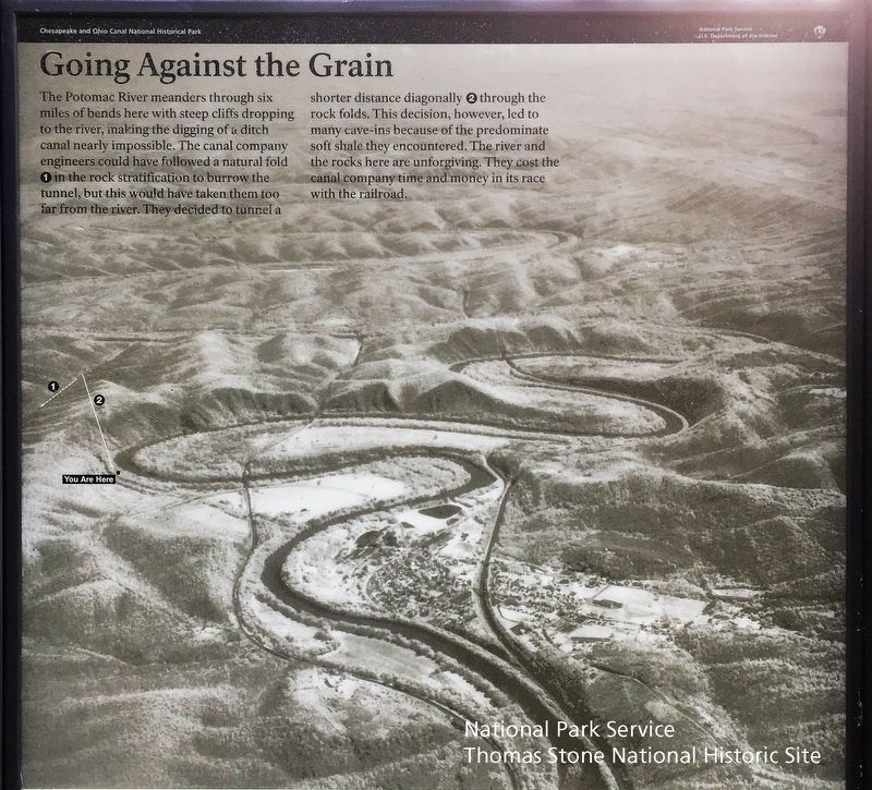
The Potomac River meanders through six miles of bends here with steep cliffs dropping to the river, making the digging of a ditch canal nearly impossible. The canal company could have followed a natural fold (1) in the rock stratification to burrow the tunnel, but this would have taken them too far from the river. They decided to tunnel a short distance diagonally (2) through the rock folds. This decision, however, led to many cave-ins because of the predominate soft shale they encountered. The river and the rocks here are unforgiving. They cost the canal company time and money in its race with the railroads.
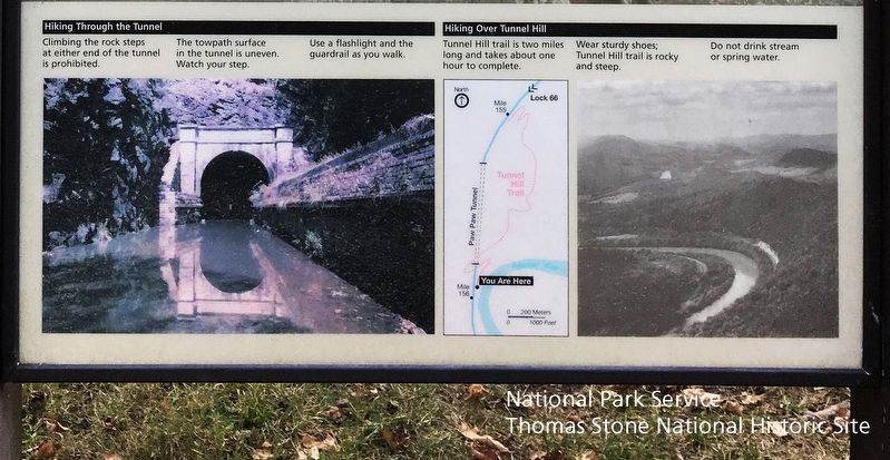
Hiking Through the Tunnel
Climbing the rock steps at either end of the tunnel is prohibited.
The towpath surface in the tunnel is uneven. Watch your step.
Use a flashlight and the guardrail as you walk.
Hiking Over Tunnel Hill
Tunnel Hill is two miles long and takes about one hour to complete.
Wear Sturdy shoes; Tunnel Hill trail is rocky and steep.
Do not drink stream or spring water.
Erected by National Park Service, U.S. Department of the Interior.
Topics. This historical marker is listed in these topic lists: Architecture • Settlements & Settlers • Waterways & Vessels. A significant historical year for this entry is 1836.
Location. 39° 33.003′ N, 78° 27.778′ W. Marker is in Keifers, Maryland, in Allegany County. Use parking lot for the Chesapeake & Ohio Canal National Historic Site-Paw Paw Tunnel at 39.544206, -78.460700. Walk west from parking lot for 0.1 mile to reach canal towpath. Walk north for 0.4 miles to reach marker and Paw Paw Tunnel south entrance. Touch for map. Marker is in this post office area: Oldtown MD 21555, United States of America. Touch for directions.
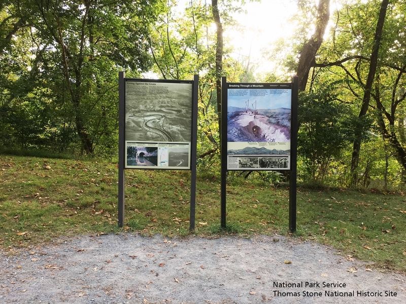
Other nearby markers. At least 8 other markers are within 2 miles of this marker, measured as the crow flies. Breaking Through a Mountain (here, next to this marker); Paw Paw Tunnel Hill Trail (a few steps from this marker); West Virginia (Morgan County) / Maryland (approx. 0.9 miles away in West Virginia); In Memoriam (approx. 1.1 miles away in West Virginia); Paw Paw, W. Va Honor Roll (approx. 1.1 miles away in West Virginia); Roll of Honor (approx. 1.1 miles away in West Virginia); Paw Paw Korean War Memorial (approx. 1.1 miles away in West Virginia); Paw Paw / Paw Paw Tunnel / The Fruit (approx. 1.2 miles away in West Virginia). Touch for a list and map of all markers in Keifers.
Also see . . .
1. Paw Paw Tunnel. Wikipedia entry (Submitted on January 3, 2024, by Larry Gertner of New York, New York.)
2. Paw Paw Tunnel. Maryland Historical Trust Architectural Survey File (Submitted on January 3, 2024, by Larry Gertner of New York, New York.)
3. History & Culture, Chesapeake & Ohio National Historical Park
. National Park Service website entry (Submitted on September 23, 2019.)
Credits. This page was last revised on January 3, 2024. It was originally submitted on September 23, 2019. This page has been viewed 151 times since then and 15 times this year. Photos: 1, 2, 3, 4, 5, 6. submitted on September 23, 2019. • Andrew Ruppenstein was the editor who published this page.
