Cumberland in Allegany County, Maryland — The American Northeast (Mid-Atlantic)
Cumberland Terminus: Yesterday and Today
Chesapeake and Ohio Canal National Historical Park
— National Park Service, U.S. Department of the Interior —
Inscription.
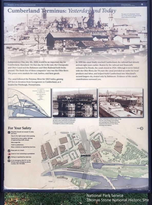
Independence Day, July 4th, 1828, would be an important day for Cumberland, Maryland. On that day, far to the east, the Chesapeake and Ohio Canal and the Baltimore and Ohio Railroad both broke ground. The finish line of these companies' race was the Ohio River. The prizes were markets for coal, lumber, and farm goods.
The canal followed the Potomac River for 184.5 miles, gaining 605 feet in elevation from Georgetown to Cumberland, as it headed for Pittsburgh, Pennsylvania.
In 1850 the canal finally reached Cumberland; the railroad had already arrived eight years earlier. Beaten by the railroad and financially exhausted by floods, the canal closed in 1924. Although it never linked with the Ohio River, for 74 years the canal provided an outlet for local products and labor, and helped build Cumberland into Maryland's second-largest city, rivaled only by Baltimore. Evidence of the canal's contributions surround you.
(captions)
The spires of Cumberland, "Queen City," of the Potomac, greeted arriving boatmen around 1898.
The Canal's Cumberland terminus in 1896.
Coal from the surrounding mountains rode the rails to meet canal boats at Cumberland. From here boatmen towed it downstream to Georgetown, about a week's journey.
Many Cumberland residents made a living from the canal, finding work building and repairing boats. Residents also were employed at the Footer's Dye Works, towering in the distance.
For Your Safety
Bicyclist should not exceed 16 miles per hour.
Stay to the right except when passing.
Sound bell or horn within 100 feet of approaching traffic ahead.
Ride single file.
Yield to pedestrians.
Wear a helmet as required by local law.
Keep pets on a leash.
Canal or river swimming is prohibited.
Fishing is regulated by state law.
In an emergency dial 911 or the 24-hour park emergency phone number, 301-739-4206.
Erected by National Park Service, U.S. Department of the Interior.
Topics and series. This historical marker is listed in these topic lists: Industry & Commerce • Railroads & Streetcars • Waterways & Vessels. In addition, it is included in the Chesapeake and Ohio (C&O) Canal series list. A significant historical date for this entry is July 4, 1828.
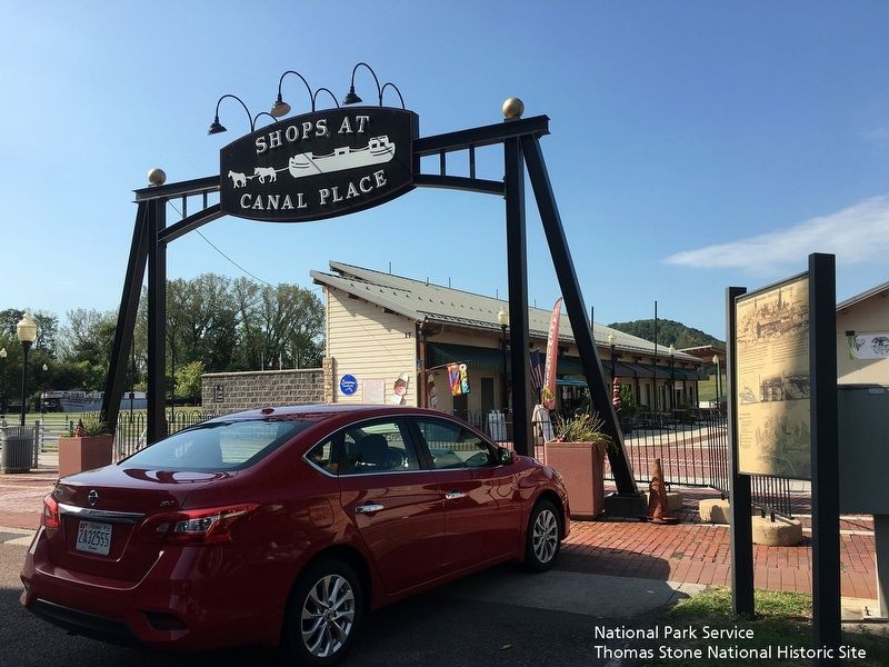
Location. 39° 38.908′ N, 78° 45.738′ W. Marker is in Cumberland, Maryland, in Allegany County. Marker is at the intersection of Howard St and Canal street on Howard St. Sign is to the left of the large, metal archway that is called "Shops at Canal Place.". Touch for map. Marker is at or near this postal address: 17, Cumberland MD 21502, United States of America. Touch for directions.
Other nearby markers. At least 8 other markers are
within walking distance of this marker. Footer's Dye Works (within shouting distance of this marker); Cumberland Terminus: Yesterday and Today (about 400 feet away, measured in a direct line); Life on the Canal (about 400 feet away); The National Road (about 400 feet away); Boat Building at the Cumberland Basin (about 400 feet away); C&O Canal Terminus (about 400 feet away); A Canal Boat Replica—The Cumberland (about 400 feet away); Civil War in Allegany County (about 500 feet away). Touch for a list and map of all markers in Cumberland.
More about this marker. A duplicate of this sign is located 500 feet north at the main plaza at Canal Place.
Also see . . .
1. Cumberland Visitor Center, Chesapeake & Ohio Canal National Historical Park, National Park Service. (Submitted on September 24, 2019.)
2. History & Culture, Chesapeake & Ohio National Historical Park, National Park Service. (Submitted on September 24, 2019.)
Credits. This page was last revised on September 27, 2019. It was originally submitted on September 24, 2019. This page has been viewed 249 times since then and 29 times this year. Photos: 1, 2. submitted on September 24, 2019. • Andrew Ruppenstein was the editor who published this page.

