Fayetteville in Washington County, Arkansas — The American South (West South Central)
Headquarters House
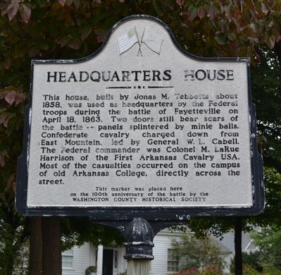
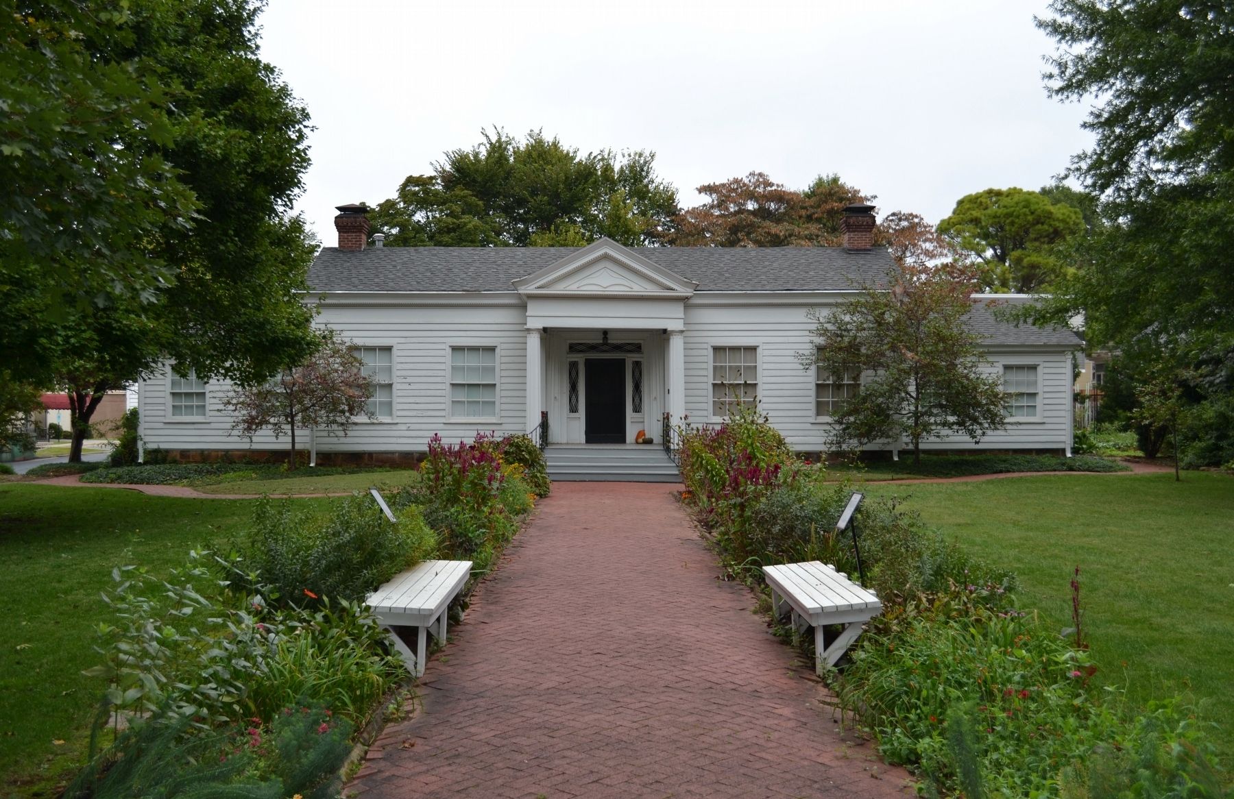
This house, built by Jonas M. Tebbetts about 1858, was used as headquarters by the Federal troops during the battle of Fayetteville on April 18, 1863. Two doors still bear scars of the battle -- panels splintered by minie balls. Confederate cavalry charged down from East Mountain, led by General W.L. Cabell. The Federal commander was Colonel M. LaRue Harrison of the First Arkansas Cavalry USA. Most of the casualties occurred on the campus of old Arkansas College, directly across the street.
Erected 1963 by Washington County Historical Society.
Topics. This memorial is listed in this topic list: War, US Civil. A significant historical date for this entry is April 18, 1863.
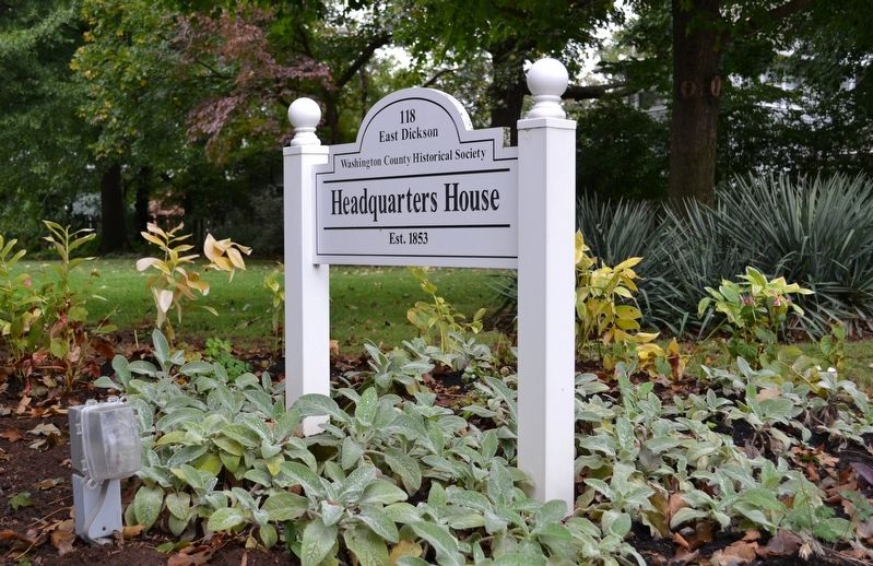
Location. 36° 3.983′ N, 94° 9.429′ W. Marker is in Fayetteville, Arkansas, in Washington County. Memorial is at the intersection of East Dickson Street and College Avenue (Business U.S. 71), on the left when traveling east on East Dickson Street. Touch for map. Marker is at or near this postal address: 118 East Dickson Street, Fayetteville AR 72701, United States of America. Touch for directions.
Other nearby markers. At least 8 other markers are within walking distance of this marker. Scene of Hot Fighting (within shouting distance of this marker); Site of Civil War Arsenal (about 300 feet away, measured in a direct line); Arkansas College (about 400 feet away); Wade-Heerwagen House (about 600 feet away); The Ellis Building (approx. 0.2 miles away); Butterfield Stage Route (approx. ¼ mile away); Archibald Yell (approx. ¼ mile away); First Confederate Company Organized in Washington County (approx. 0.3 miles away). Touch for a list and map of all markers in Fayetteville.
Also see . . .
1. Washington County Historical Society. Society website homepage (Submitted on October 2, 2019.)
2. Battle of Fayetteville (1863). Wikipedia entry (Submitted on November 6, 2022, by Larry Gertner of New York, New York.)
Credits. This page was last revised on November 6, 2022. It was originally submitted on October 2, 2019, by Michael E Sanchez, Jr. of Kansas City, Missouri. This page has been viewed 199 times since then and 19 times this year. Photos: 1, 2, 3. submitted on October 2, 2019, by Michael E Sanchez, Jr. of Kansas City, Missouri. • Bernard Fisher was the editor who published this page.


