Moosup in Sterling in Windham County, Connecticut — The American Northeast (New England)
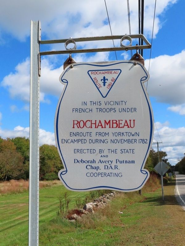
Rochambeau Encampment
French Troops Under
Rochambeau
Enroute from Yorktown
Encamped During November 1782
Erected by the State and
Deborah Avery Putnam
Chap. D.A.R.
Cooperating
Topics and series. This memorial is listed in this topic list: War, US Revolutionary. In addition, it is included in the Daughters of the American Revolution, and the The Washington-Rochambeau Route series lists. A significant historical month for this entry is November 1782.
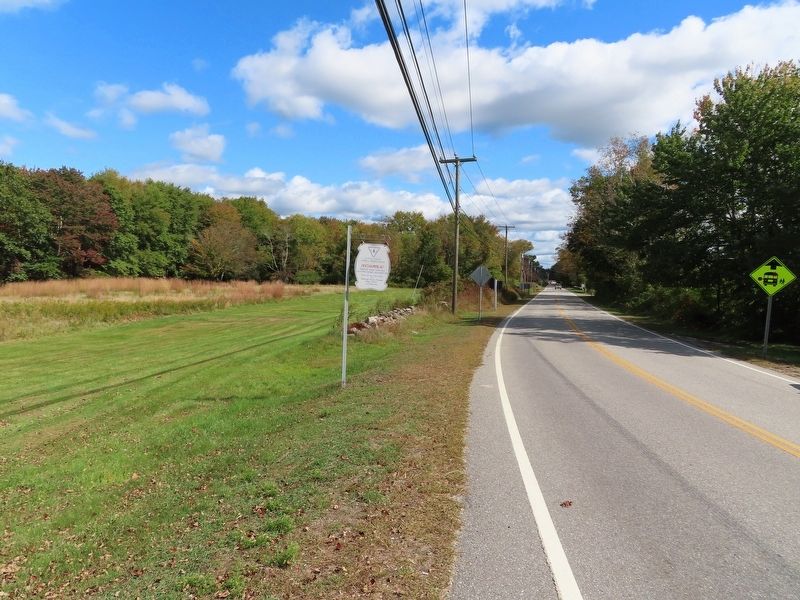
Location. 41° 41.472′ N, 71° 50.706′ W. Marker is in Sterling, Connecticut, in Windham County. It is in Moosup. Memorial is at the intersection of Plainfield Pike (Route 14A) and Sterling Hill Road, on the left when traveling east on Plainfield Pike. Touch for map. Marker is in this post office area: Sterling CT 06377, United States of America. Touch for directions.
Other nearby markers. At least 8 other markers are within 4 miles of this marker, measured as the crow flies. Sterling Veterans Memorial Park (approx. 2 miles away); Honor Roll Saint Joseph’s Church (approx. 2 miles away); United States Finishing Company World War I Memorial (approx. 2 miles away); Sterling (approx. 2 miles away); St. John s Parish World War I Monument (approx. 3.8 miles away); Plainfield Veterans Monument (approx. 3.8 miles away); Plainfield World War II Monument (approx. 3.8 miles away); Plainfield Veterans Memorial (approx. 3.8 miles away). Touch for a list and map of all markers in Sterling.
Credits. This page was last revised on February 10, 2023. It was originally submitted on October 8, 2019, by Michael Herrick of Southbury, Connecticut. This page has been viewed 201 times since then and 20 times this year. Photos: 1, 2. submitted on October 8, 2019, by Michael Herrick of Southbury, Connecticut.

