Near Ackerman in Choctaw County, Mississippi — The American South (East South Central)
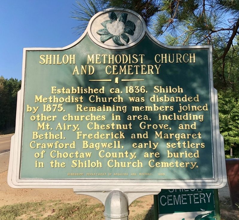
Shiloh Methodist Church and Cemetery
Erected 1999 by Mississippi Department of Archives and History.
Topics and series. This historical marker is listed in these topic lists: Cemeteries & Burial Sites • Churches & Religion • Settlements & Settlers. In addition, it is included in the Mississippi State Historical Marker Program series list. A significant historical year for this entry is 1836.
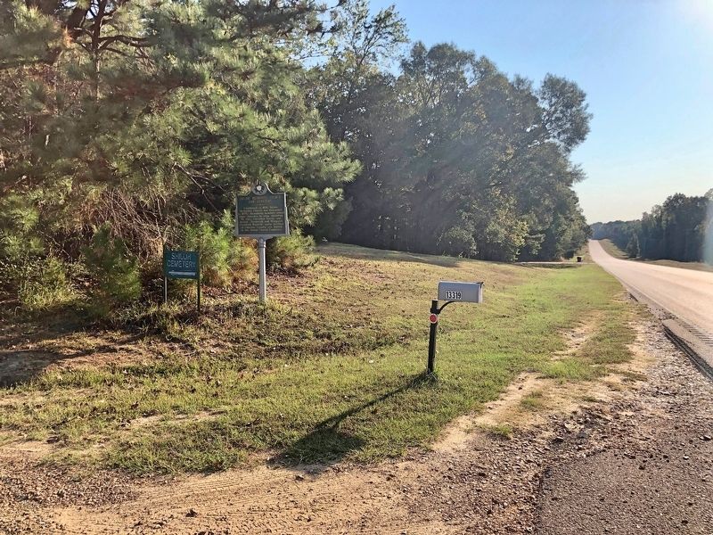
Location. 33° 20.138′ N, 89° 6.64′ W. Marker is near Ackerman, Mississippi, in Choctaw County. Marker is on Mississippi Route 12, 1.4 miles west of Scott Road, on the right when traveling west. Touch for map. Marker is at or near this postal address: 13319 MS-12, Ackerman MS 39735, United States of America. Touch for directions.
Other nearby markers. At least 8 other markers are within 7 miles of this marker, measured as the crow flies. Hoyt Ming (approx. 3.8 miles away); Two Steps From The Blues (approx. 3.9 miles away); Governor J.P. Coleman (approx. 3.9 miles away); Governor Ray Mabus (approx. 3.9 miles away); Choctaw County War Memorial (approx. 4 miles away); Ackerman (approx. 4.2 miles away); Choctaw County High School (approx. 4.2 miles away); Old Lebanon Presbyterian Church and Campground (approx. 6.6 miles away). Touch for a list and map of all markers in Ackerman.
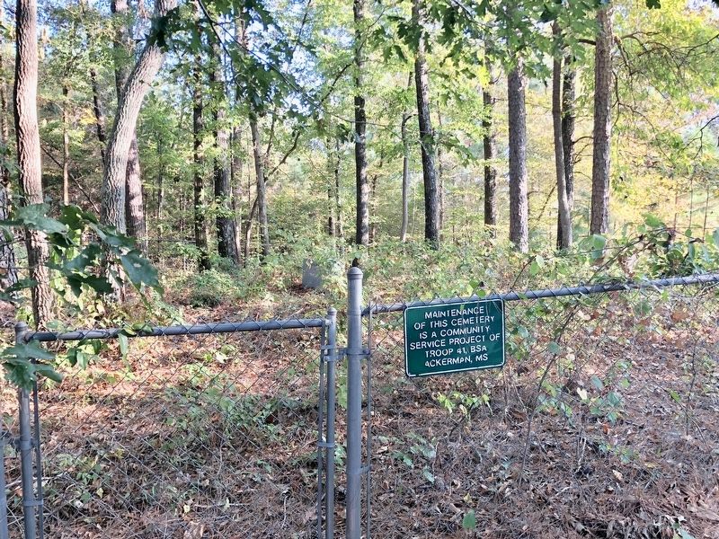
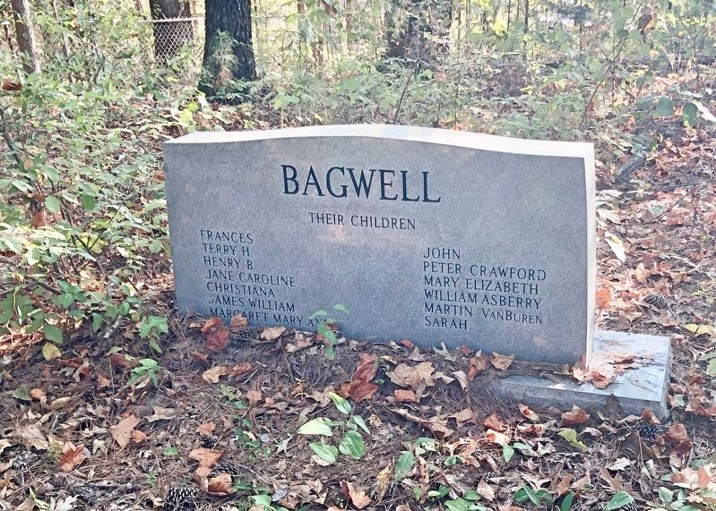
More about this marker. Cemetery is 50 feet north of marker on private land. Only one grave marker is apparent.
Credits. This page was last revised on October 9, 2019. It was originally submitted on October 9, 2019, by Mark Hilton of Montgomery, Alabama. This page has been viewed 441 times since then and 90 times this year. Photos: 1, 2, 3, 4. submitted on October 9, 2019, by Mark Hilton of Montgomery, Alabama.


