Near Comfrey in Cottonwood County, Minnesota — The American Midwest (Upper Plains)
Why did people come to this region?
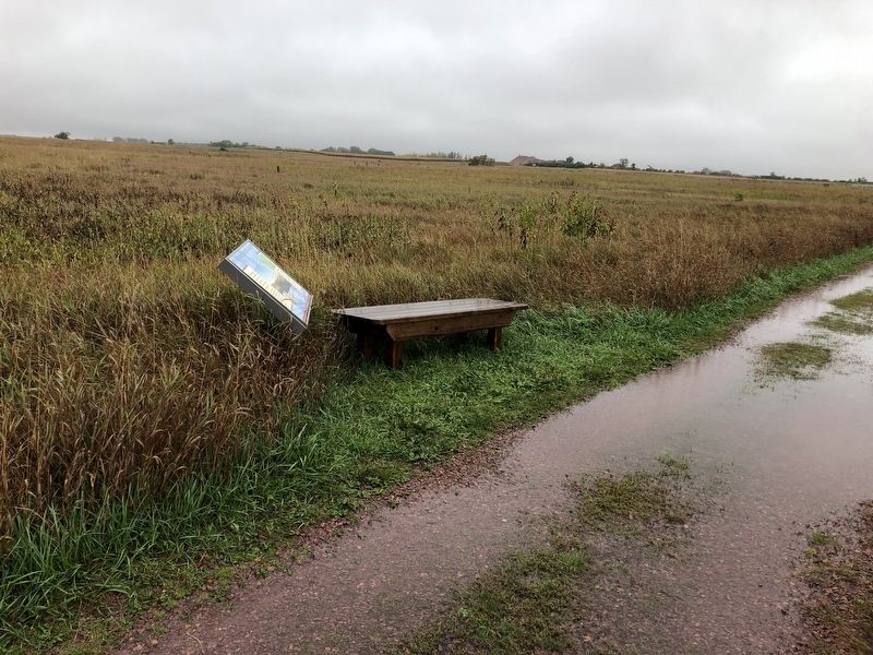
People hunting game most likely traveled this ridge, which provided a dry route above the lake-dotted prairie for thousands of years.
The earliest inhabitants of this region hunted woolly mammoths and musk-ox. Beginning with the dominance of prairie about 9,000 years ago, bison and elk provided new sources of food, clothing and furs.
Red Rock Ridge
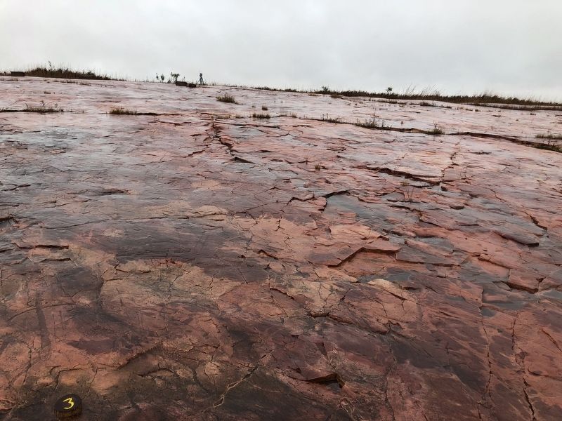
Ahead of you is a part of Red Rock Ridge, a series of quartzite outcroppings fringing the eastern edge of the “Coteau des Prairies." Named by early French explorers, the Coteau-meaning hill or knoll-is a high bedrock plateau sculpted by glaciers and once covered by prairie.
Erected by Minnesota Historical Society.
Topics. This historical marker is listed in these topic lists: Animals • Horticulture & Forestry • Native Americans • Parks & Recreational Areas.
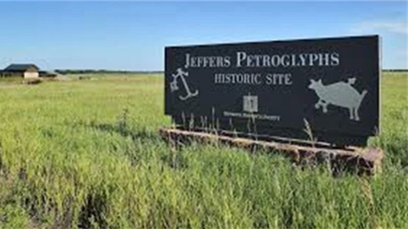
Location. 44° 5.479′ N, 95° 3.367′ W. Marker is near Comfrey, Minnesota, in Cottonwood County. Marker is on 510th Avenue (County Road 2). Marker is located along a trail in the Jeffers Petroglyphs Historic Site. Touch for map. Marker is at or near this postal address: 27160 CR-2, Comfrey MN 56019, United States of America. Touch for directions.
Other nearby markers. At least 8 other markers are within 11 miles of this marker, measured as the crow flies. How did this Prairie get here? (within shouting distance of this marker); Prairie Preservation (within shouting distance of this marker); Survival Through Fire (about 400 feet away, measured in a direct line); Florence Cook Roefer Prairie Trail (approx. ¼ mile away); Glaciers Marked the Rock (approx. ¼ mile away); Sanborn, Minnesota Veterans Memorial (approx. 8 miles away); Veterans Memorial (approx. 10.8 miles away); a different marker also named Veterans Memorial (approx. 11 miles away). Touch for a list and map of all markers in Comfrey.
More about this marker. The Jeffers Petroglyphs is home to about 5,000 sacred rock carvings, also called petroglyphs, made by the ancestors of today’s Native Americans. Jeffers tells the story of this continent like no other place — connecting visitors to those who lived and traveled in ancient times across what is now known as North America.
Also see . . . More at the Jeffers Petroglyphs website. (Submitted on October 10, 2019, by Ruth VanSteenwyk of Aberdeen, South Dakota.)
Credits. This page was last revised on October 10, 2019. It was originally submitted on October 10, 2019, by Ruth VanSteenwyk of Aberdeen, South Dakota. This page has been viewed 131 times since then and 11 times this year. Last updated on October 10, 2019, by Ruth VanSteenwyk of Aberdeen, South Dakota. Photos: 1, 2, 3, 4. submitted on October 10, 2019, by Ruth VanSteenwyk of Aberdeen, South Dakota. • Mark Hilton was the editor who published this page.


