Bóthar an Ime / Bóthar an Chuinsailéara
Butter Road / Daniel O'Connell's Road
Bóthar an Ime / Bóthar an Chuinsailéara
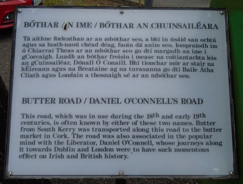
Tá aithne forleathan ar an mbóthar seo, a bhí in úsáid san ochtú agus sa luath-naoú chéad déag, faoin dá anim seo. Iompraíodh im ó Chiarraí Theas ar an mbóthar seo go dtí margadh an ime i gCorcaigh. Luadh an bóthar freisin i measc na coitiantachta leis an gCuinsailéar, Dónall Ó Conaill. Bhí tionchar mór ar stair na hÉireann agus na Breataine ag na turasanna go dtí Baile Átha Cliath agus Londain a thosnaigh sé ar an mbóthar seo.
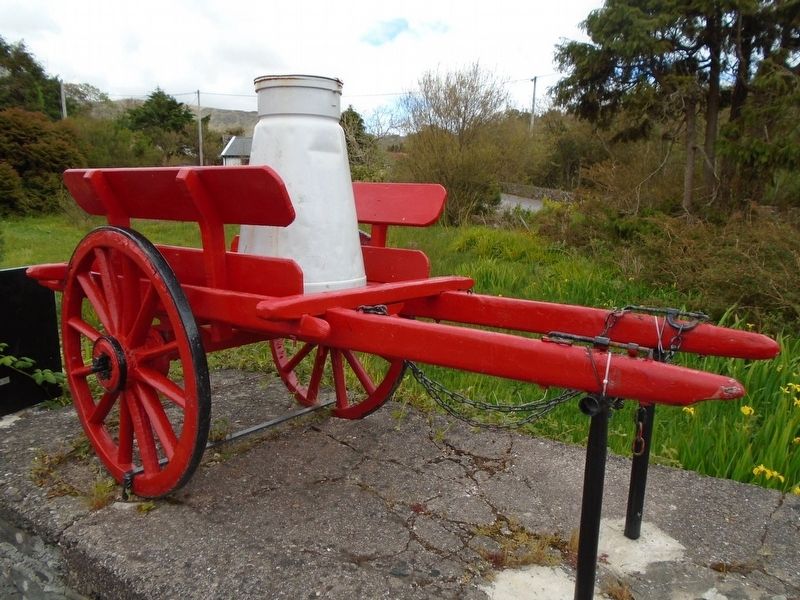
This road, which was in use during the 18th and early 19th centuries, is often known by either of these two names. Butter from South Kerry was transported along this road to the butter market in Cork. The road was also associated in the popular mind with the Liberator, Daniel O'Connell, whose journeys along it towards Dublin and London were to have such momentous effect on Irish and British history.
Topics. This historical marker is listed in these topic lists: Government & Politics • Industry & Commerce
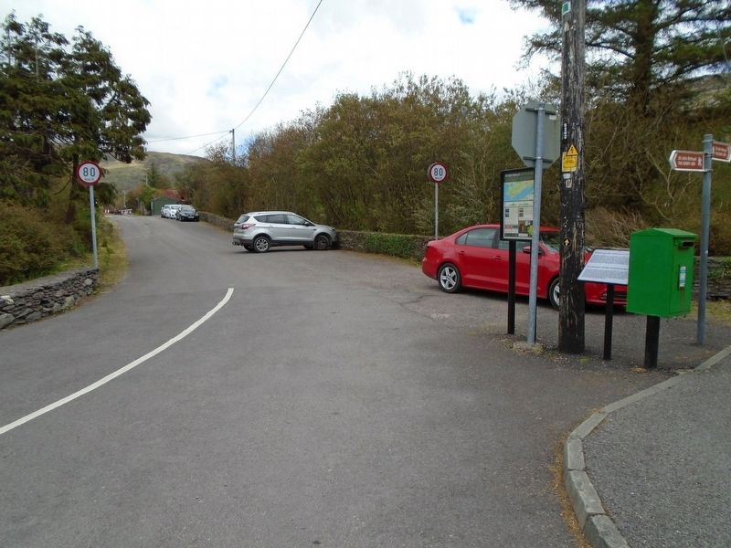
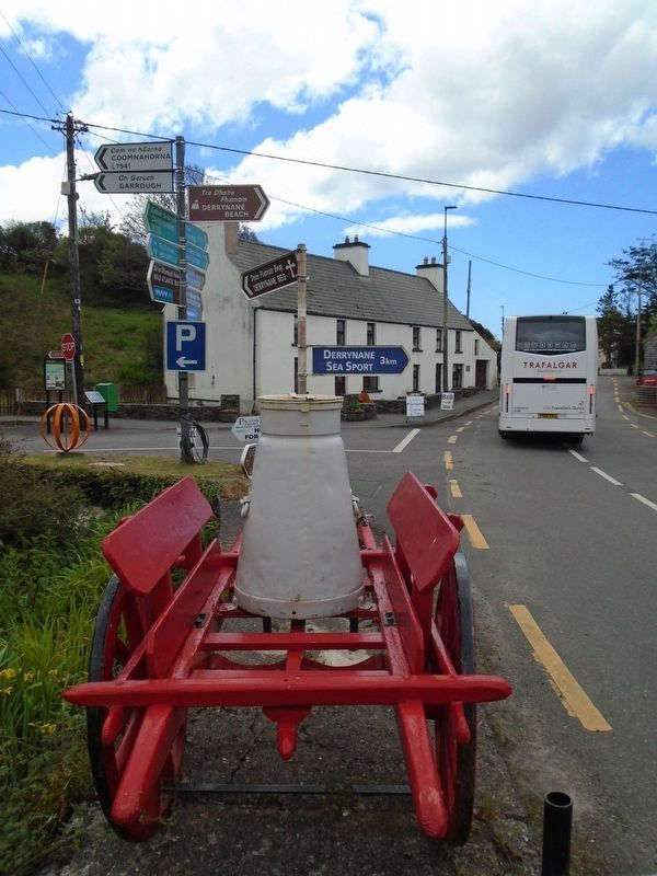
Location. 51° 46.174′ N, 10° 5.95′ W. Marker is in Caherdaniel, Munster, in County Kerry. Marker is at the intersection of Ring of Kerry (National Route N70) and Butter Road, on the right when traveling north on Ring of Kerry. Touch for map. Marker is in this post office area: Caherdaniel, Munster V93 KV44, Ireland. Touch for directions.
Other nearby markers. At least 8 other markers are within 8 kilometers of this marker, measured as the crow flies. The Sun / An ghrian (a few steps from this marker); Teach do laoch / Home for a hero (approx. 2.2 kilometers away); Church of the Most Precious Blood (approx. 4.5 kilometers away); Com an Chiste (approx. 4.8 kilometers away); Colonel Patrick J. Quinlan (approx. 4.8 kilometers away); Cathair na Stéige / Staigue Fort (approx. 6.9 kilometers away); Dr. Thomas George Millerick 1864-1898 (approx. 8 kilometers away); Charlie Chaplin (approx. 8.1 kilometers away).
Related marker. Click here for another marker that is related to this marker.
Credits. This page was last revised on October 10, 2019. It was originally submitted on October 10, 2019, by William Fischer, Jr. of Scranton, Pennsylvania. This page has been viewed 105 times since then and 6 times this year. Photos: 1, 2, 3, 4. submitted on October 10, 2019, by William Fischer, Jr. of Scranton, Pennsylvania.


