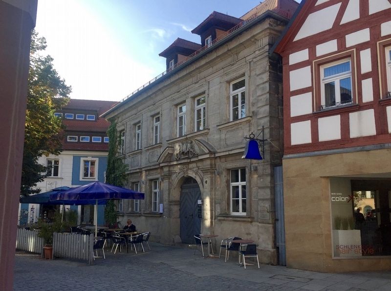
Blaue Glocke / The Blue Bell
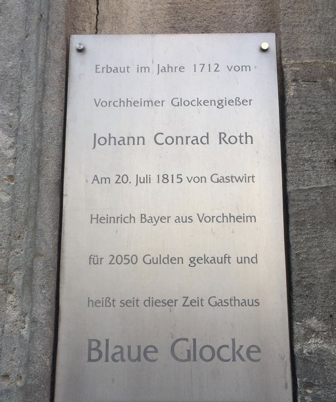
Erbaut im Jahre 1712 vom
Vorchheimer Glockengießer
Johann Conrad Roth
Am 20. Juli 1815 von Gastwirt
Heinrich Bayer aus Vorchheim
für 2050 Gulden gekauft und
heißt seit dieser Zeit Gasthaus
Blaue Glocke
-
Built in the year 1712 by the bell maker Johann Conrad Roth of Forchheim. Was purchased on July 20, 1815 by Heinrich Bayer of Forchheim for 2,050 Guldens, and has since then been known as the Blue Bell Inn.
Topics. This historical marker is listed in this topic list: Industry & Commerce. A significant historical date for this entry is July 20, 1815.
Location. 49° 43.253′ N, 11° 3.5′ E. Marker is in Forchheim, Bayern (Bavaria). Marker is on Hauptstraße, on the left when traveling east. Touch for map. Marker is at or near this postal address: Hauptstraße 8, Forchheim BY 91301, Germany. Touch for directions.
Other nearby markers. At least 8 other markers are within 23 kilometers of this marker, measured as the crow flies. Georg Mayer-Franken (a few steps from this marker); Kolpingsfamilie Forchheim / The Kolping Family Forchheim (about 120 meters away, measured in a direct line); Entrechtet, Deportiert, Ermordet / Disenfranchised, Deported, Murdered (approx. 0.4 kilometers away); Königlich Bayerisches 1. Ulanen-Regiment Denkmal / Royal Bavarian First Lancers Regiment Monument (approx. 21.8 kilometers away); E.T.A. Hoffman
Credits. This page was last revised on January 28, 2022. It was originally submitted on October 14, 2019, by Andrew Ruppenstein of Lamorinda, California. This page has been viewed 162 times since then and 10 times this year. Photos: 1, 2. submitted on October 14, 2019, by Andrew Ruppenstein of Lamorinda, California.

