Winnemucca in Humboldt County, Nevada — The American Mountains (Southwest)
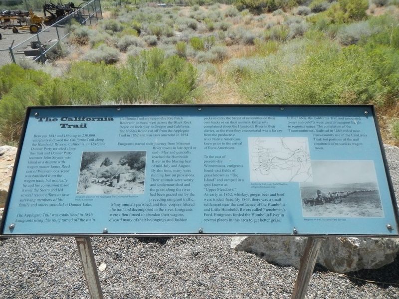
The California Trail
Inscription.
Between 1841 and 1869, up to 250,000 emigrants followed the California Trail along the Humboldt River to California. in 1846, the Donner Party traveled along this trail and Donner Party teamster, John Snyder was killed in a dispute with wagon master James Reed east of Winnemucca. Reed was banished from the wagon train, but ironically he and his companion made it over the Sierra and led several rescue efforts to save surviving members of his family and others stranded at Donner Lake.
The Applegate Trail was established in 1846. Emigrants using this route turned of the main California Trail at present-day Rye Patch Reservoir to travel west across the Black Rock Desert on their way to Oregon and California. The Nobles Route cut off from the Applegate Trail in 1852 and was later amended in 1854.
Emigrants started their journey from Missouri River towns in late April or early May and generally reached the Humboldt River in the blazing heat of mid-July and August. By this time, many were running low on provisions. Their animals were weary and undernourished and the grass along the river has been grazed out y the preceding emigrant traffic. Many animals perished, and their corpses littered the trail and decomposed in the river. Emigrant s were often forced to abandon their wagons, discard many of their belongings and fashion packs to carry the barest of necessities on their own backs or on their animals. Emigrants complained about the Humboldt River in their diaries, as the river they encountered was a far cry from the productive river Native Americans knew prior to the arrival of Euro-Americans.
To the east of present-day Winnemucca, emigrants found vast fields of grass known as "The Island" and camped in a spot known as "Upper Meadows." As early as 1852, whiskey, ginger beer and beef were traded there. By 1863, there was a small settlement near the confluence of the Humboldt and Little Humboldt Rivers called Frenchman's Ford. Emigrants forded the Humboldt River in several places in this area to get better grass.
In the 1860s, the California Trail and associated routes and cutoffs were used to transport freight to regional mines. The completion of the Transcontinental Railroad in 1869 ended most cross-country use of the California Trail, but portions of the trail continued to be used as wagon roads.
Erected by Humboldt Museum, Bureau of Land Management.
Topics and series. This historical marker is listed in these topic lists: Roads & Vehicles • Settlements & Settlers. In addition, it is included in the California Trail series list.
Location. 40° 58.618′ N, 117° 44.662′ W. Marker is in Winnemucca, Nevada, in Humboldt County. Marker is on Museum Avenue near Maple Avenue, on the left when traveling west. Touch for map. Marker is at or near this postal address: 175 Museum Avenue, Winnemucca NV 89445, United States of America. Touch for directions.
Other nearby markers. At least 8 other markers are within walking distance of this marker. Railroads and Telegraphs (here, next to this marker); Winnemucca and the Humboldt River Corridor (here, next to this marker); The Victory Highway and Transcontinental Airway System (here, next to this marker); Explorers and Mountain Men (here, next to this marker); The Humboldt River (here, next to this marker); Pioneer Memorial Park (approx. 0.2 miles away); Winneva Building (approx. 0.4 miles away); California Trail - Trading Post (approx. half a mile away). Touch for a list and map of all markers in Winnemucca.
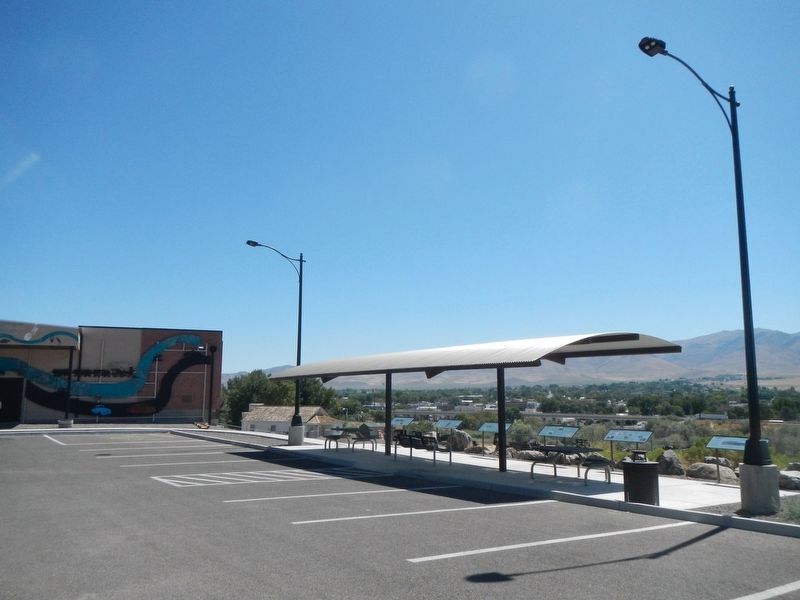
More about this marker. This marker is located at the Winnemucca overlook at the Humboldt Museum.
Credits. This page was last revised on October 22, 2019. It was originally submitted on October 22, 2019, by Barry Swackhamer of Brentwood, California. This page has been viewed 294 times since then and 32 times this year. Photos: 1, 2. submitted on October 22, 2019, by Barry Swackhamer of Brentwood, California.

