St. Marys in Camden County, Georgia — The American South (South Atlantic)
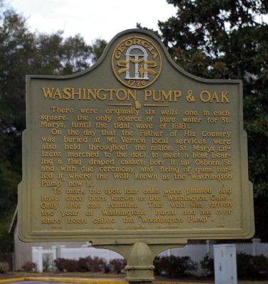
Washington Pump & Oak
On the day that the Father of the Country was buried at Mt. Vernon local services were also held throughout the nation. St. Marys citizens marched to the dock to meet a boat bearing a flag draped casket; bore it up Osborn St. and with due ceremony and firing of guns, buried it where the Well known as the “Washington Pump” now is.
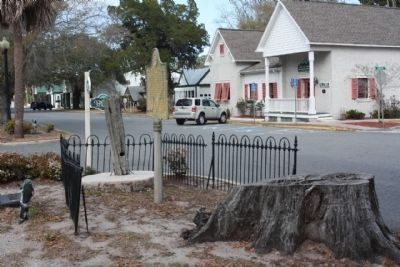
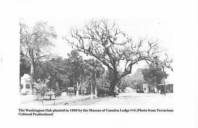
To mark the spot, four oaks were planted and have since been known as the “Washington Oaks”. Only this one remains. This well was driven the year of Washington's burial and has ever since been called the “Washington Pump”.
Erected 1953 by Georgia Historical Commission. (Marker Number 020-3.)
Topics and series. This historical marker is listed in these topic lists: Colonial Era • Horticulture & Forestry • Patriots & Patriotism. In addition, it is included in the Georgia Historical Society series list.
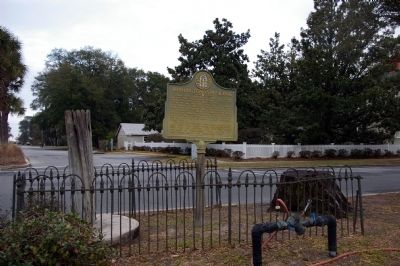
Location. 30° 43.481′ N, 81° 32.853′ W. Marker is in St. Marys, Georgia, in Camden County. Marker is at the intersection of Osborne Street (Georgia Route 40) and Conyers Street, in the median on Osborne Street. Touch for map. Marker is in this post office area: Saint Marys GA 31558, United States of America. Touch for directions.
Other nearby markers. At least 8 other markers are within walking distance of this marker. George Washington Oak Tree Site (a few steps from this marker); First Presbyterian Church (within shouting distance of this marker); Clark-Bessant House (within shouting distance of this marker); Orange Hall (within shouting distance of this marker); St. Marys Methodist Church Established 1799-1800 (within shouting distance of this marker); City of St. Marys (about 500 feet away, measured in a direct line); Spanish Occupation of Georgia (about 500 feet away); First Pecan Trees Grown Here About 1840 (approx. 0.2 miles away). Touch for a list and map of all markers in St. Marys.
Credits. This page was last revised on June 23, 2019. It was originally submitted on December 6, 2008, by David Seibert of Sandy Springs, Georgia. This page has been viewed 2,361 times since then and 27 times this year. Photos: 1, 2. submitted on December 6, 2008, by David Seibert of Sandy Springs, Georgia. 3. submitted on March 10, 2013, by Mike Stroud of Bluffton, South Carolina. 4. submitted on August 17, 2015, by Thomas Chapman of St. Marys, Georgia. • Bill Pfingsten was the editor who published this page.


