Holly in Oakland County, Michigan — The American Midwest (Great Lakes)
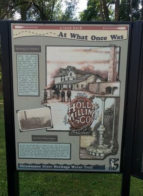
This is the Site of the Holly Milling Co.
1845-1910
— A Look Back At What Once Was —
Beginnings of a Settlement
Settlers were attracted to the southern end of Holly because of the Shiawassee River. In the early 1820's, Ira C. Alger arrived to establish the first settlement. In 1843, Alger dammed the river at the border of modern day Rose and Holly townships. He constructed a sawmill and later erected a grinding mill on the west side of the Millpond. This was a significant step for the little settlement. Mills were important because they provided essential services and grinding grain and processing lumber were most important during the frontier phase.
The Holly Milling Company
By 1875, the mill had grown to employ ten men. They turned out 150 barrels of flour a day, shipped out on the railroad spur that connected to the Grand Trunk Railroad. "Holly Velvet" flour became a nationally distributed product as the Village of Holly grew along with the development of the railroads. By the time the building burned down, the factory was running two shifts and shipping 300-400 barrels of flour daily. This all ended when the mill burned for days as the building caught fire on December 17, 1910. After the $50,000 loss, the mill was not rebuilt.
Erected by Shiawassee River Heritage Water Trail.
Topics. This historical marker is listed in these topic lists: Industry & Commerce • Settlements & Settlers. A significant historical date for this entry is December 17, 1910.
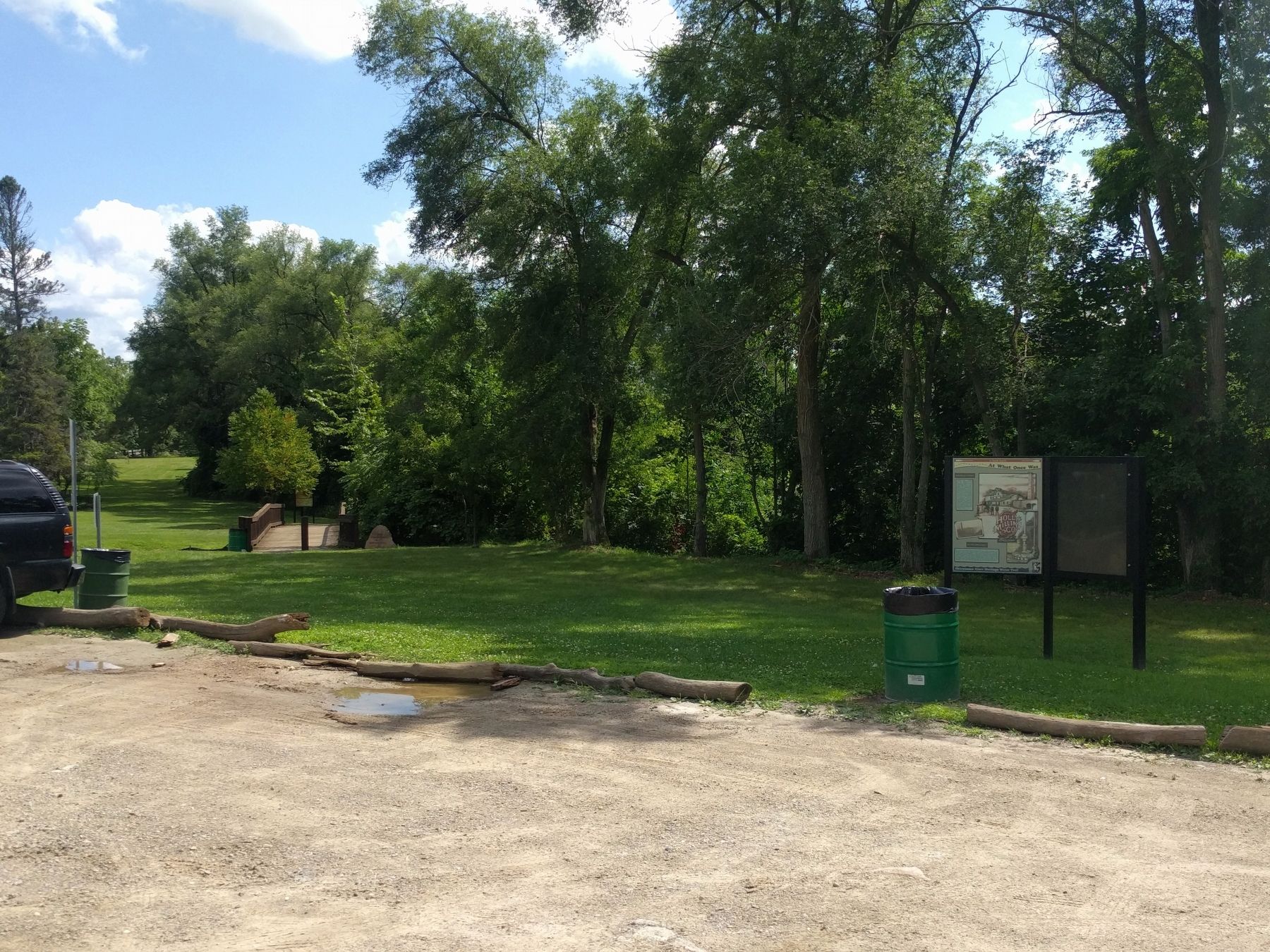
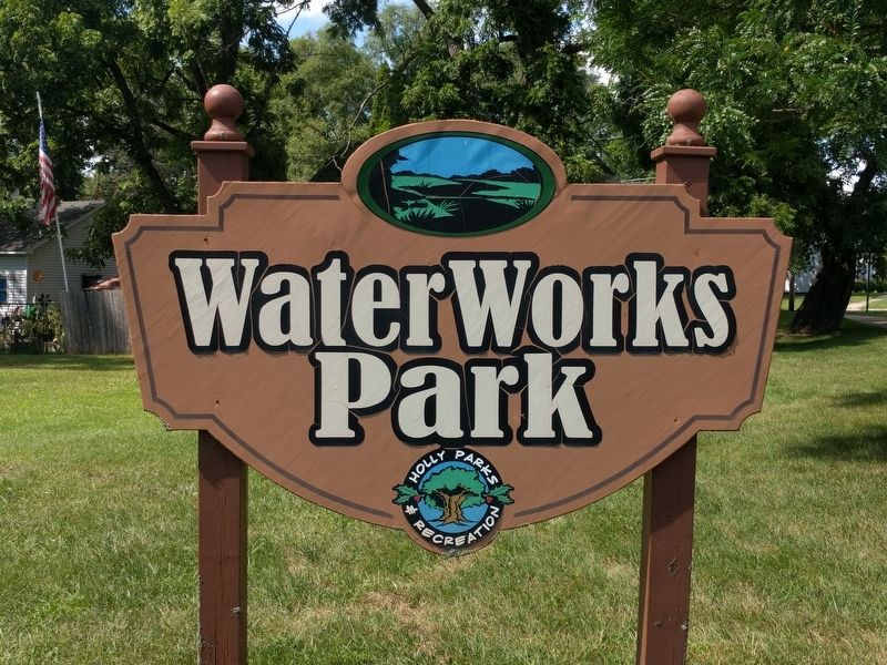
Location. 42° 47.191′ N, 83° 37.562′ W. Marker is in Holly, Michigan, in Oakland County. Marker is on South Broad Street south of Hadley Street, on the left when traveling north. Marker is in Waterworks Park. Touch for map. Marker is at or near this postal address: 690 South Broad Street, Holly MI 48442, United States of America. Touch for directions.
Other nearby markers. At least 8 other markers are within 4 miles of this marker, measured as the crow flies. Battle Alley (approx. 0.3 miles away); Crapo Park (approx. 0.3 miles away); Holly's Town Hall (approx. 0.3 miles away); 1834 Clark Dibble Settlement (approx. 4 miles away); 1840 Grindstone from Fenton Mills (approx. 4 miles away); Saint Jude's Episcopal Church (approx. 4 miles away); Dibbleville Business District I (approx. 4 miles away); Fenton United Methodist Church (approx. 4 miles away). Touch for a list and map of all markers in Holly.
Credits. This page was last revised on December 8, 2020. It was originally submitted on November 7, 2019, by Joel Seewald of Madison Heights, Michigan. This page has been viewed 292 times since then and 37 times this year. Photos: 1, 2, 3. submitted on November 7, 2019, by Joel Seewald of Madison Heights, Michigan.


