El Call in Barcelona, Catalonia, Spain — Southwestern Europe (Iberian Peninsula)
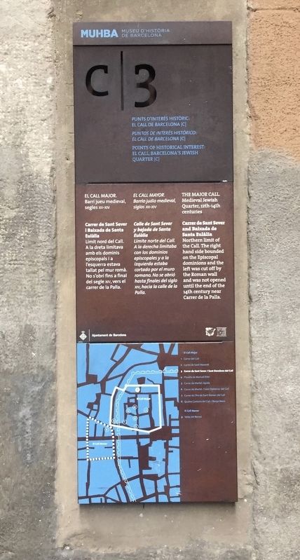
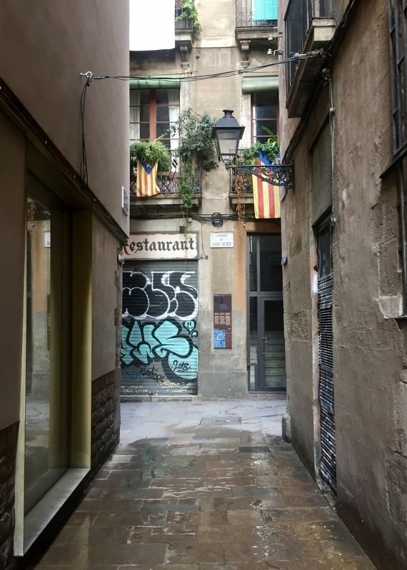
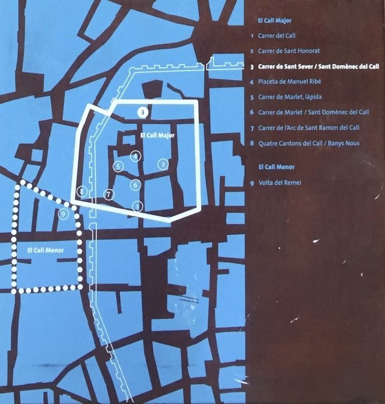
El Call: Carrer de Sant Sever
Medieval Jewish Quarter, 12th-14th centuries
(Catalan:)
(Spanish:)
(English:)
Erected by Ajuntament de Barcelona, Museu d'Historia de Barcelona. (Marker Number C3.)
Topics. This historical marker is listed in these topic lists: Churches & Religion • Settlements & Settlers.
Location. 41° 22.982′ N, 2° 10.515′ E. Marker is in Barcelona, Cataluña (Catalonia). It is in El Call. Marker is at the intersection of Carrer de Sant Sever and Carrer de Salomó ben Adret on Carrer de Sant Sever. Touch for map. Marker is at or near this postal address: Carrer de Sant Sever, 3, Barcelona, Cataluña 08002, Spain. Touch for directions.
Other nearby markers. At least 8 other markers are within walking distance of this marker. The Aerial Bombing of the Plaza / El Bombardeo de la Plaza / El Bombardeig de la Plaça (within shouting distance of this marker); El Call: Placeta de Manuel Ribé (within shouting distance of this marker); Memorial to the Victims of the Bombing of January 30, 1938 (within shouting distance of this marker); Collegi Sant Jordi / College of Sant Jordi (within shouting distance of this marker); Sant Felip Neri Bombing Memorial (within shouting distance of this marker); El Call: Carrer de Sant Honorat (within shouting distance of this marker); El Call: Carrer de Sant Domènec (within shouting distance of this marker); El Call: Rabbi Samuel Ha-Sardi Stone (within shouting distance of this marker). Touch for a list and map of all markers in Barcelona.
Credits. This page was last revised on February 3, 2023. It was originally submitted on November 8, 2019, by Andrew Ruppenstein of Lamorinda, California. This page has been viewed 134 times since then and 13 times this year. Photos: 1, 2, 3. submitted on November 8, 2019, by Andrew Ruppenstein of Lamorinda, California.


