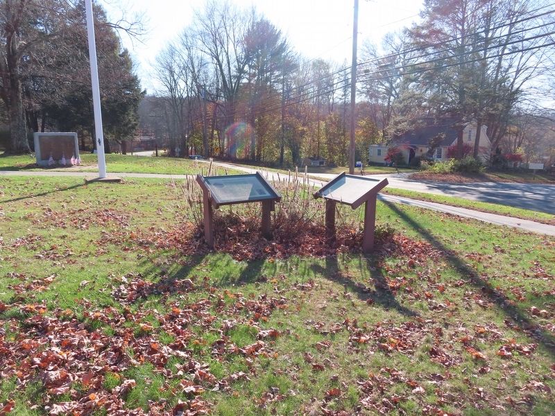
Coventry Lake in Tolland County, Connecticut — The American Northeast (New England)
Patriotís Park
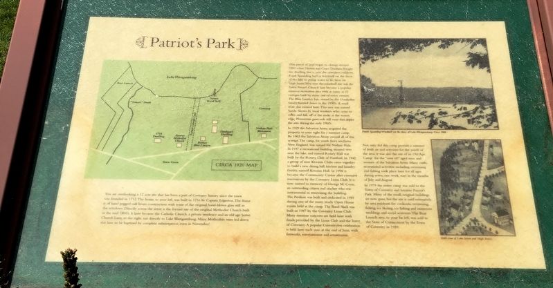
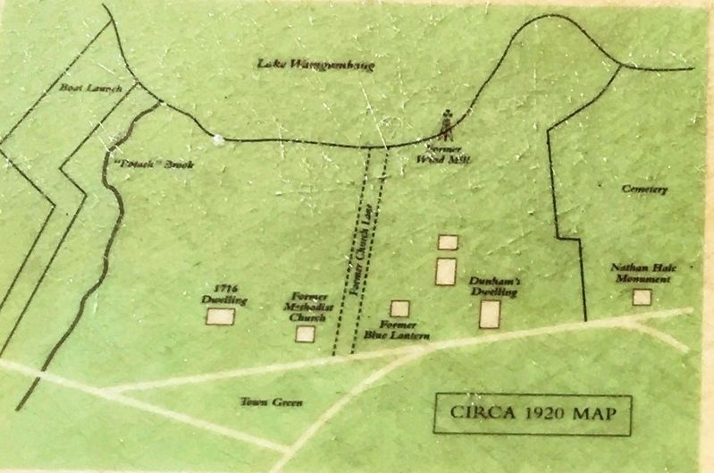
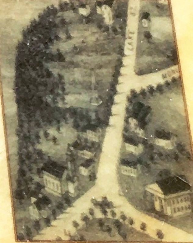
You are overlooking a 12 acre site that has been a part of Coventry history since the town was founded in 1712. The home, to your left, was built in 1716 by Captain Edgerton. The frame is of hand pegged oak beam construction with some of the original hand-blown glass still in the windows. Directly across the street is the former site of the original Methodist Church built in the mid 1800ís. It later became the Catholic Church, a private residence and an old age home. Church Lane, to the right, ran directly to Lake Wangumbaug. Many Methodists were led down this lane to be baptized by complete submergence even in November!
This parcel of land began to change around 1900 when Thereon and Grace Dunham bought the dwelling that is now the caretakers residence. Frank Spaulding built a windmill on the shore of the lake to pump water to his farm on High Street. Very near the windmill site was the Town Pound. Church lane became a popular summer recreation area with as many as 10 cottages built by many out-of-town owners. The Blue Lantern Inn owned by the Overholtzs family, burned down in the 1930ís. A small store also existed here. This area was named Sandy Shores by residents who came to swim and fish off the rocks at the waters edge. Numerous postcards still exist that depict the area the early 1900ís.
In 1929 the Salvation Army acquired the property on your right for a summer camp. By 1962 the Salvation Army owned all of this acreage. The camp, for youth from southern New England, was named for Nathan Hale. In 1937 a recreational building situated very near the lake and named Rotary Hall was built by the Rotary Club of Hartford. In 1942 a group of nine Kiwanis Clubs came together to build a new dining hall, kitchen and a laundry facility named Kiwanis Hall. In 1996 it became the Community Center after extensive renovations by the Coventry Lions Club. It is now named in memory of George M. Coon, an outstanding citizen and teacher who was instrumental in renovating the building. The pavilion was built and dedicated in 1959 during one of the many yearly Open House events held at the camp. The Band Shell was built in 1987 by the Coventry Lions Club. Many summer concerts are held here with funds provided by the Lions Club and the Town of Coventry. A popular Coventryfest celebration is held here each year, at the end of June with fireworks, entertainment and amusements.
Not only did this camp provide a summer of fresh air and activities for the youth of the area, it was also the site of an Old Age Camp for the over “60” aged men and women of the Salvation Army. Many crafts, recreational activities including swimming and fishing took place here for ages during seven , one week, stays
in the months of July and August.
In 1979 the entire camp was sold to the Town of Coventry and became Patriotís Park. Many of the small, original buildings are now gone but the site is used extensively by area residents for cookouts, swimming, fishing, ice skating, ice fishing and numerous weddings and social activities. The Boat Launch area, to your far left, was sold to the State of Connecticut by the Town of Coventry in 1959.
Topics. This historical marker is listed in these topic lists: Entertainment • Parks & Recreational Areas.
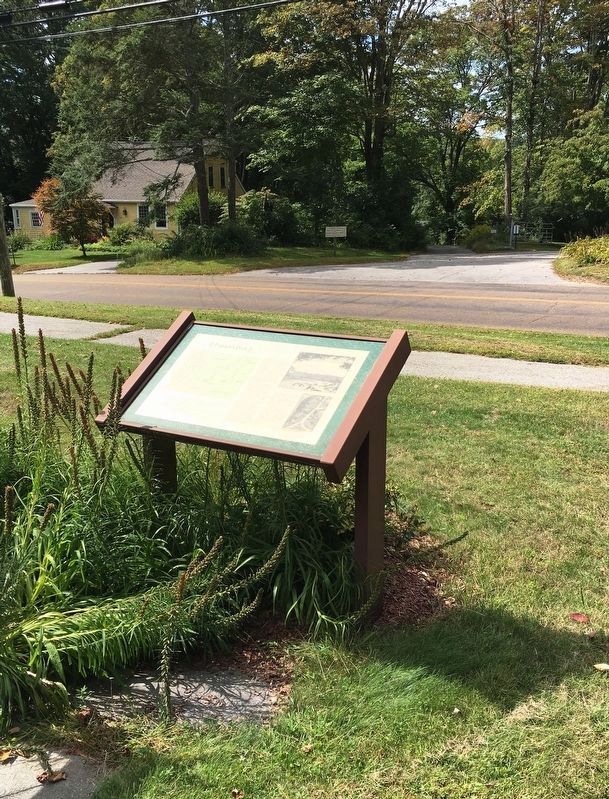
Location. 41° 45.96′ N, 72° 18.39′ W. Marker is in Coventry, Connecticut, in Tolland County. It is in Coventry Lake. Marker is at the intersection of Lake St and High Street, on the right when traveling north on Lake St. Located in Veterans Green Memorial Park. Touch for map. Marker is in this post office area: Coventry CT 06238, United States of America. Touch for directions.
Other nearby markers. At least 8 other markers are within walking distance of this marker. Veterans Memorial Green (here, next to this marker); Coventry World War II Memorial (a few steps from this marker); Captain Nathan Hale (within shouting distance of this marker); French Army Memorial (within shouting distance of this marker); Coventryís First Congregational Meetinghouse (within shouting distance of this marker); Korea
(within shouting distance of this marker); Coventry Veterans Memorial (within shouting distance of this marker); Coventry Vietnam Memorial (within shouting distance of this marker). Touch for a list and map of all markers in Coventry.
Credits. This page was last revised on February 10, 2023. It was originally submitted on November 9, 2019, by Brandon D Cross of Flagler Beach, Florida. This page has been viewed 285 times since then and 55 times this year. Photos: 1, 2, 3, 4, 5. submitted on November 9, 2019, by Brandon D Cross of Flagler Beach, Florida. 6. submitted on November 10, 2019, by Michael Herrick of Southbury, Connecticut. • Michael Herrick was the editor who published this page.
