Clemson in Pickens County, South Carolina — The American South (South Atlantic)
Clemson University
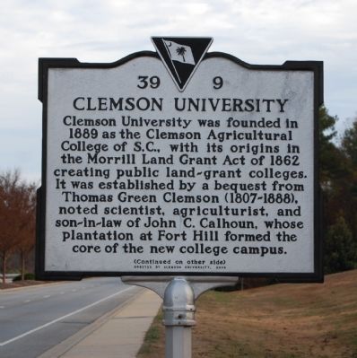
[Front Side]:
Clemson University was founded in 1889 as the Clemson Agricultural College of S.C., with its origins in the Morrill Land Grant Act of 1862 creating public land-grant colleges. It was established by a bequest from Thomas Green Clemson (1807-1888), noted scientist, agriculturist, and son-in-law of John C. Calhoun, whose plantation at Fort Hill formed the core of the new college campus.
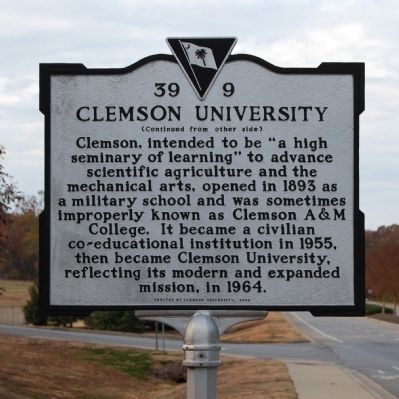
[Reverse Side]:
Clemson, intended to be "a high seminary of learning" to advance scientific agriculture and the mechanical arts, opened in 1893 as a military school and was sometimes improperly known as Clemson A&M College. It became a civilian co-educational institution in 1955, then became Clemson University, reflecting its modern and expanded mission, in 1964.
Erected 2003 by Clemson University. (Marker Number 39-9.)
Topics. This historical marker is listed in these topic lists: Agriculture • Education • Settlements & Settlers. A significant historical year for this entry is 1889.
Location. 34° 41.05′ N, 82° 51.55′ W. Marker is in Clemson, South Carolina, in Pickens County. Marker is on Pendleton Road (SC Highway 93), on the right when traveling south. Touch for map. Marker is in this post office area: Clemson SC 29631, United States of America. Touch for directions.
Other nearby markers. At least 10 other markers are within 2 miles of this marker, measured as the crow flies. William Maxwell Poe Plaza (approx. one mile away); Howard's Rock (approx. one mile away); Memorial Park / The Scroll of Honor (approx. 1.1 miles away); Cherokee Town of Esseneca (approx. 1.1 miles away); Asbury F. Lever (approx. 1.1 miles away); Calhoun Plantation Cemetery (approx. 1.1 miles away); Woodland Cemetery Clemson University / Fort Hill Slave and Convict Cemetery (approx. 1.1 miles away); Site of Fort Rutledge (approx. 1.2 miles away); Fort Hill (approx. 1.2 miles away); a different marker also named Fort Hill (approx. 1.2 miles away). Touch for a list and map of all markers in Clemson.
Also see . . . Clemson University. (Submitted on December 12, 2008, by Brian Scott of Anderson, South Carolina.)
Credits. This page was last revised on December 14, 2019. It was originally submitted on December 12, 2008, by Brian Scott of Anderson, South Carolina. This page has been viewed 1,225 times since then and 42 times this year. Photos: 1, 2. submitted on December 12, 2008, by Brian Scott of Anderson, South Carolina.

