Delta in Millard County, Utah — The American Mountains (Southwest)
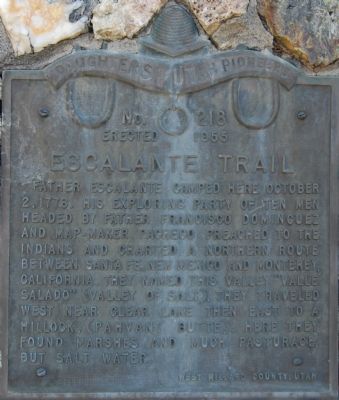
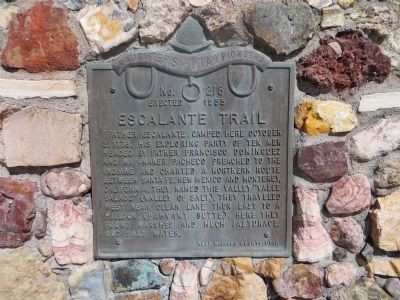
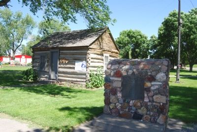
Escalante Trail
Erected 1955 by Daughters of Utah Pioneers. (Marker Number 218.)
Topics and series. This historical marker is listed in these topic lists: Churches & Religion • Exploration • Native Americans • Roads & Vehicles • Settlements & Settlers. In addition, it is included in the Daughters of Utah Pioneers, and the Dominguez y Escalante Expedition series lists. A significant historical date for this entry is October 2, 1776.
Location. 39° 21.162′ N, 112° 34.704′ W. Marker is in Delta, Utah, in Millard County. Marker is on Main Street. Touch for map. Marker is at or near this postal address: 150 W Main Street, Delta UT 84624, United States of America. Touch for directions.
Other nearby markers. At least 5 other markers are within 6 miles of this marker, measured as the crow flies. Topaz 1942–1946 (a few steps from this marker); McCullough Log House and Post Office (within shouting distance of this marker); Pioneer Cabin (within shouting distance of this marker); Gunnison Massacre Site (about 700 feet away, measured in a direct line); Millard Academy (approx. 5.2 miles away). Touch for a list and map of all markers in Delta.
Credits. This page was last revised on January 9, 2020. It was originally submitted on June 28, 2007, by Dawn Bowen of Fredericksburg, Virginia. This page has been viewed 1,897 times since then and 29 times this year. Photos: 1. submitted on June 28, 2007, by Dawn Bowen of Fredericksburg, Virginia. 2. submitted on October 20, 2013, by Bill Kirchner of Tucson, Arizona. 3. submitted on June 28, 2007, by Dawn Bowen of Fredericksburg, Virginia. • J. J. Prats was the editor who published this page.


