Near Fredericksburg in Stafford County, Virginia — The American South (Mid-Atlantic)
The Ferries
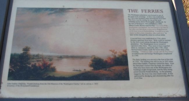
A second ferry was established in 1734 a short distance upstream from here. Both could be reached by the ferry road cutting through the Washington plantation. The Washingtons never owned or operated either ferry. They seem to have regarded them as nuisances, especially after 1745, when Spotsylvania County made the lower ferry a free crossing. "I think we suffer enough with the Free Ferry," seventeen-year old George Washington complained in 1749.
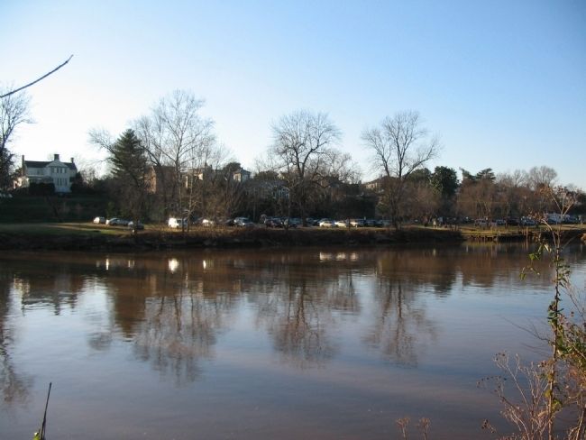
The ferry landing was moved to the foot of this hill in 1763. The landing was still in use in 1833 when artist John Gadsby Chapman visited the farm. Note the ferryman's house near the bank, the rubble of what may have been one of the Washington-era buildings (right foreground), and the ferry being poled toward Fredericksburg. As the painting suggests, the river was once much wider. It was narrowed by dredging and channelizing after the Civil War.
Topics. This historical marker is listed in these topic lists: Roads & Vehicles • Waterways & Vessels. A significant historical year for this entry is 1726.
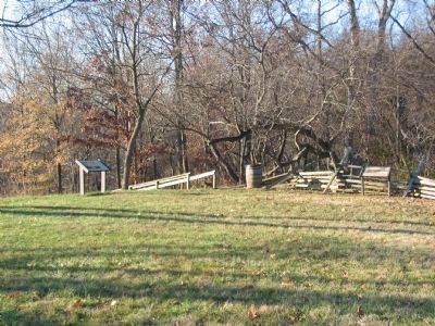
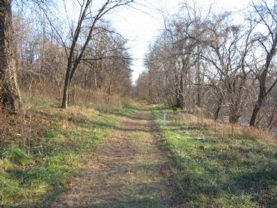
Location. Marker has been reported missing. It was located near 38° 17.757′ N, 77° 27.006′ W. Marker was near Fredericksburg, Virginia, in Stafford County. Marker could be reached from Kings Highway (State Highway 3), on the right when traveling south. Located on the walking trail for the Washington's Boyhood Home site. Touch for map. Marker was at or near this postal address: 240 Kings Hwy, Fredericksburg VA 22405, United States of America. Touch for directions.
Other nearby markers. At least 8 other markers are within walking distance of this location. Enslaved Quarter (within shouting distance of this marker); Root Cellar (about 300 feet away, measured in a direct line); George Washington’s Childhood Home (approx. 0.2 miles away); Fredericksburg's Wharves and Harbor (approx. 0.2 miles away); George Washington’s Boyhood Home at Ferry Farm (approx. 0.2 miles away); Creek Delegation in Fredericksburg (approx. 0.2 miles away); George Washington Boyhood Home Site
(approx. 0.2 miles away); Fredericksburg City Dock (approx. 0.2 miles away). Touch for a list and map of all markers in Fredericksburg.
More about this marker. The main part of the marker displays the John Gadsby Chapman painting, "Fredericksburg from the Old Mansion of the Washington Family," c. 1833.
Also see . . . Ferry Farm. The Ferry Farm site is maintained by the George Washington Foundation of Fredericksburg. (Submitted on December 15, 2008, by Craig Swain of Leesburg, Virginia.)
Credits. This page was last revised on April 28, 2023. It was originally submitted on December 15, 2008, by Craig Swain of Leesburg, Virginia. This page has been viewed 910 times since then and 14 times this year. Photos: 1, 2, 3, 4. submitted on December 15, 2008, by Craig Swain of Leesburg, Virginia.


