Petersburg in Grant County, West Virginia — The American South (Appalachia)
The Impregnable Fortress
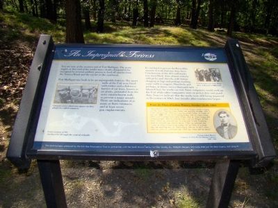
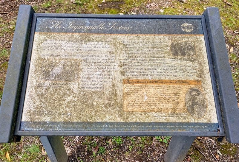
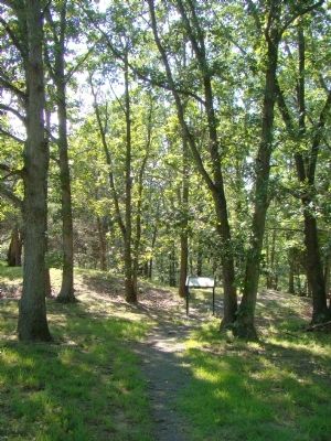
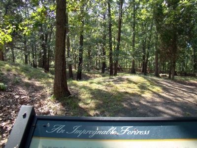
You are now at the western end of Fort Mulligan. The acute angles at this end of the works were clearly designed to be occupied by several artillery pieces to fend off attacks from the Seneca Road and the ravine to the southwest.
Fort Mulligan was built to be an impregnable fortress. The inner walls of the Fort were lined with timber and a defensive barrier of cut trees, known as an abatis, protruded from the outer entrenchment walls to prevent a major assault. There are indications of as many as three entrances and at least seven gun emplacements.
It’s not hard to picture the incredible amount of work that was done here. Construction of the dirt earthworks was most likely done almost entirely with picks and shovels, with horses dragging in logs and perhaps hauling some earth in wagons. Hundreds and perhaps, at times, over a thousand men labored here for weeks on end. Some companies would work on the Fort while other companies were on picket duty and guard duty. Sources indicate that the works were still being improved in December of 1863, four months after construction began.
From the Diary of Joshua Winters, October 12-26, 1863.
“Mon Oct 12, 1863. Clear today. am on fitigue today a diging on the fort. Tues 13. clear today and nuthing strange. Wed 14. clear and plesant. Thur 15. i am on pikit today. it rained all day and night. Fri 16. it is raining today. Sat17. clear today. thair was a empty train hear today. Sun 18. clear today but rained tonight. Mon 19. plesant day. i am on fitigue at the fort. Tues 20. plesant day. ia was out in the Cunttrey. Wed 21. plesant day and no news. Thur 22. plesant day. i was 7 miles from camp today. Fri 23. this is a damp day and nuthing new at Petersburg. Sat 24. it still rains. Sun 25 this is a plesant day. Mon 26. clear and no news.”
Erected by Civil War Preservation Trust.
Topics. This historical marker is listed in these topic lists: Forts and Castles • War, US Civil. A significant historical date for this entry is October 12, 1777.
Location. 39° 0.05′ N, 79° 8.45′ W. Marker is in Petersburg, West Virginia, in Grant County. Marker can be reached from the Grant Memorial Hospital Parking Lot south of Houghlin
Lane (West Virginia Route 55). Touch for map. Marker is in this post office area: Petersburg WV 26847, United States of America. Touch for directions.
Other nearby markers. At least 8 other markers are within walking distance of this marker. Winter Quarters Huts (within shouting distance of this marker); Defending the Fort (within shouting distance of this marker); Protecting Supplies (about 300 feet away, measured in a direct line); The Last Days of Fort Mulligan (about 400 feet away); Civil War Cannons (about 500 feet away); The Irish Brigade & the McNeill Rangers / The Civil War Comes to Hardy County (about 500 feet away); Welcome to Fort Mulligan Civil War Site (about 500 feet away); Parrott Rifle (about 600 feet away). Touch for a list and map of all markers in Petersburg.
More about this marker. The marker also has a drawing of soldiers carrying picks and shovels in the upper right with this caption, “Construction was most likely done with picks and shovels.” On the lower right is a portrait of “Private Joshua Winters, First (W) VA Volunteer Infantry (1843–1900).”
Credits. This page was last revised on December 17, 2020. It was originally submitted on December 20, 2008, by J. J. Prats of Powell, Ohio. This page has been viewed 1,515 times since then and 11 times this year. Photos: 1. submitted on December 20, 2008, by J. J. Prats of Powell, Ohio. 2. submitted on December 17, 2020, by Shane Oliver of Richmond, Virginia. 3, 4. submitted on December 20, 2008, by J. J. Prats of Powell, Ohio. • Craig Swain was the editor who published this page.


