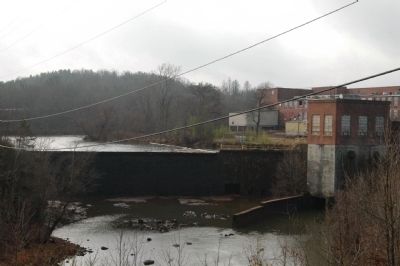
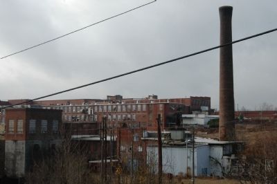
Cliffside in Rutherford County, North Carolina — The American South (South Atlantic)
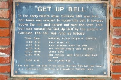
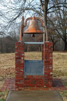
Get Up Bell
Times Rung Indicating to the people of Cliffside
5:30 A.M. • Time to get up
6:30 A.M. • Time to leave home for work
6:50 A.M. • Ten minutes before start up time
12:00 Noon • Lunch time
12:50 P.M. • Ten minutes until time to start back to work
6:00 P.M. • End of work day
The bell has not been in use since the late 40's, but now stands as a monument to the town and people of Cliffside Mills.
Topics and series. This historical marker is listed in this topic list: Industry & Commerce. In addition, it is included in the Historic Bells series list.
Location. 35° 14.577′ N, 81° 46.128′ W. Marker is in Cliffside, North Carolina, in Rutherford County. Marker is on Old Main Street, 0.1 miles north of Drug Store Street, on the right when traveling south. Touch for map. Marker is in this post office area: Cliffside NC 28024, United States of America. Touch for directions.
Other nearby markers. At least 8 other markers are within 6 miles of this marker, measured as the crow flies. Raleigh Rutherford Haynes (within shouting distance of this marker); The High Shoal Ironworks Village (approx. 2 miles away); Raleigh Rutherford Haynes / Simpson Bobo Tanner (approx. 2 miles away); North Carolina / South Carolina (approx. 4˝ miles away); E.B. Hamrick Memorial Hall (approx. 5.7 miles away); Gardner-Webb University (approx. 5.8 miles away); Boiling Springs Baptist Church Cemetery (approx. 5.8 miles away); General Store Circa 1910 (approx. 5.8 miles away).
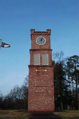
Photographed By Michael Sean Nix, December 21, 2008
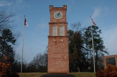
3. R.R. Haynes Memorial Tower
This tower is all that is left of the R.R.Haynes Memorial Building. It served the entertainment needs of the Cliffside community for decades. Like most of the old buildings of this mill town, it met the wrecking ball some years ago.
Credits. This page was last revised on March 9, 2021. It was originally submitted on December 21, 2008, by Michael Sean Nix of Spartanburg, South Carolina. This page has been viewed 837 times since then and 12 times this year. Photos: 1, 2, 3, 4, 5, 6, 7. submitted on December 21, 2008, by Michael Sean Nix of Spartanburg, South Carolina. • Bill Pfingsten was the editor who published this page.
