Petersburg in Grant County, West Virginia — The American South (Appalachia)
Defending the Fort
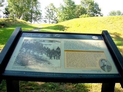
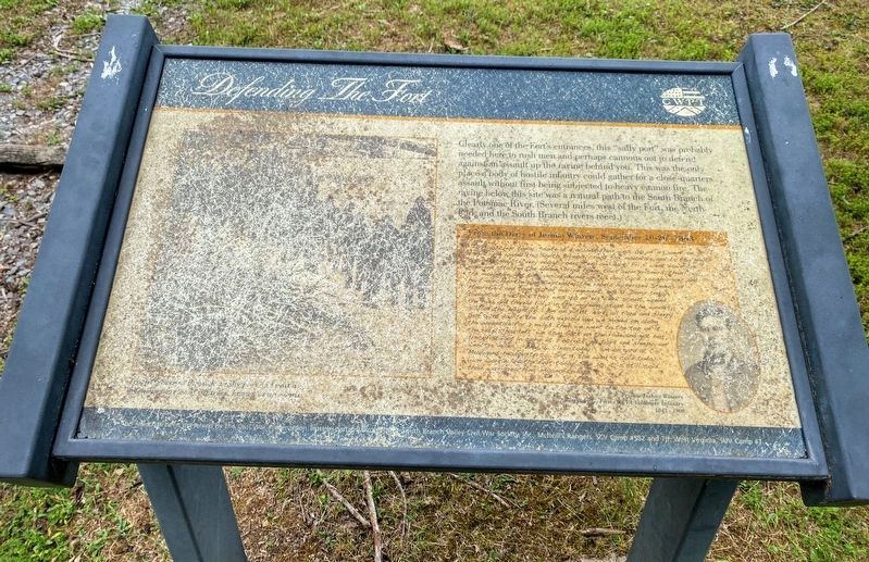
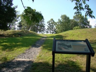
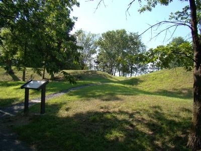
Clearly one of the Fort’s entrances, this “sally port” was probably needed here to rush men and perhaps cannons out to defend against an assault up the ravine behind you. This was the only place a body of hostile infantry could gather for a close-quarters assault without first being subjected to heavy cannon fire. The ravine below this site was a natural path to the South Branch of the Potomac River. (Several miles west of the Fort, the North Fork and the South Branch rivers meet.)
From the Diary of Joshua Winters, September 10–20, 1863.
“Thur 10. clear today. tonite at 9 oclock thair was 100 of us went on a scout. We waded the South Branch, crost the mountain, got to the North Branch at daylite, very rough rode, steep and dark. Fri 11. went down the river and attacked the eneme. Drove them look sum prisners, then took the mountain. got to camp at sundown. all vary tiard. rough rodes and hard marchin. the 11 of September the rebels supprised Stevens at Moorefield and took 150 of our regement. Sat 12. Damp today. tonight at 9 oclock thair was 150 of us went scout, waded the river and traveld till 2 in the morning. stopt in the woods, side of the mountain. i am on pickit. dark. all tiard and sleepy. Sun 13. at daylite the 54th deploid and we moved on along the mountain for 2 miles. then we went to the top of it. the rebels had left. we com back on ther ode and got our breckfist. got in camp at 2 oclock, all tiard and sleepy. we went 25 miles. ... Wed 16. Clear today. i am on gard at Col Mulligans headqurters. ... Sat 19. the wind is cold today. i am working on the fort today. Sun 20. it is still cold. thair was preaching in camp today.”
Erected by Civil War Preservation Trust.
Topics. This historical marker is listed in this topic list: War, US Civil. A significant historical date for this entry is September 10, 1864.
Location. 39° 0.033′ N, 79° 8.4′ W. Marker is in Petersburg, West Virginia, in Grant County. Marker can be reached from the Grant Memorial Hospital Parking Lot south of West Virginia Route 55. Touch for map. Marker is in this post office area: Petersburg WV 26847, United States of America. Touch for directions.
Other nearby markers. At least 8 other markers are within walking distance of this marker. Protecting Supplies (within shouting distance of this marker); The Last Days of Fort Mulligan (within shouting distance of this marker); The Impregnable Fortress (within shouting distance of this marker); Winter Quarters Huts (within shouting distance of this marker); Civil War Cannons (about 300 feet away, measured in a direct line); A Strategic Location (about 300 feet
away); Parrott Rifle (about 400 feet away); The Irish Brigade & the McNeill Rangers / The Civil War Comes to Hardy County (about 400 feet away). Touch for a list and map of all markers in Petersburg.
Additional keywords. Fort Mulligan
Credits. This page was last revised on December 17, 2020. It was originally submitted on December 21, 2008, by J. J. Prats of Powell, Ohio. This page has been viewed 1,355 times since then and 12 times this year. Photos: 1. submitted on December 21, 2008, by J. J. Prats of Powell, Ohio. 2. submitted on December 17, 2020, by Shane Oliver of Richmond, Virginia. 3, 4. submitted on December 21, 2008, by J. J. Prats of Powell, Ohio. • Craig Swain was the editor who published this page.


