Near Dunn in Harnett County, North Carolina — The American South (South Atlantic)
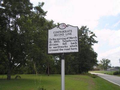
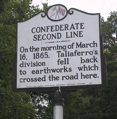
Confederate Second Line
16, 1865, Taliaferro’s
division fell back
to earthworks which
crossed the road here.
Erected 1961 by Archives and Highway Departments. Confederate Centennial Commission.
Topics. This historical marker is listed in this topic list: War, US Civil. A significant historical year for this entry is 1865.
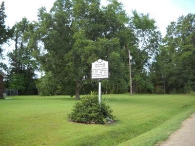
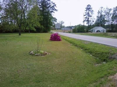
Location. 35° 15.288′ N, 78° 40.728′ W. Marker is near Dunn, North Carolina, in Harnett County. Marker is at the intersection of Bryant Road (State Highway 82) and W Thornton Road (State Highway 1783), on the left when traveling south on Bryant Road. Marker is on Bryant Road, just north of the Cumberland County Line. Touch for map. Marker is in this post office area: Dunn NC 28334, United States of America. Touch for directions.
Other nearby markers. At least 8 other markers are within walking distance of this marker. Rhett’s Brigade (approx. 0.2 miles away); Battle of Averasboro (approx. 0.2 miles away); Taliaferro’s Division (approx. ¼ mile away); Confederate First Line (approx. ¼ mile away); 20th Corps (approx. ¼ mile away); "Oak Grove" (approx. half a mile away); Federal Artillery (approx. 0.6 miles away); a different marker also named Battle of Averasboro (approx. 0.7 miles away). Touch for a list and map of all markers in Dunn.
Additional keywords. Battle of Averasboro

Photographed By Bill Coughlin, August 18, 2006
2. Marker on the Averasboro Battlefield
The troops of Confederate Gen. Stephen Elliott's brigade of Taliaferro's Division held the earthworks at this location on March 16, 1865 until the line was broken in the early afternoon. The Confederates then fell back to the third and final line of defense located near the present-day Averasboro Battlefield Museum.
Credits. This page was last revised on November 12, 2022. It was originally submitted on December 27, 2008, by Bill Coughlin of Woodland Park, New Jersey. This page has been viewed 1,299 times since then and 20 times this year. Photos: 1, 2. submitted on December 27, 2008, by Bill Coughlin of Woodland Park, New Jersey. 3. submitted on August 11, 2010, by Bill Coughlin of Woodland Park, New Jersey. 4. submitted on April 26, 2011, by Lee Hattabaugh of Capshaw, Alabama.


