Near Richmond in Henrico County, Virginia — The American South (Mid-Atlantic)
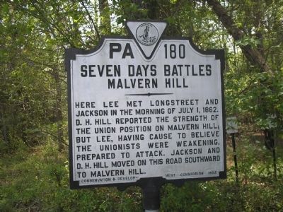
Seven Days Battles
Malvern Hill
Erected 1932 by Conservation & Development Commission. (Marker Number PA-180.)
Topics and series. This historical marker is listed in this topic list: War, US Civil. In addition, it is included in the Virginia Department of Historic Resources (DHR) series list. A significant historical date for this entry is July 1, 1898.
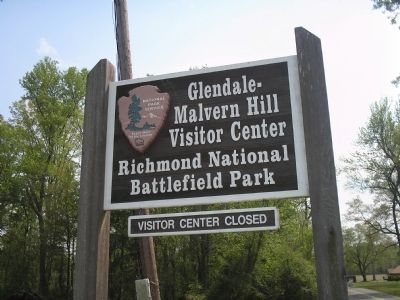
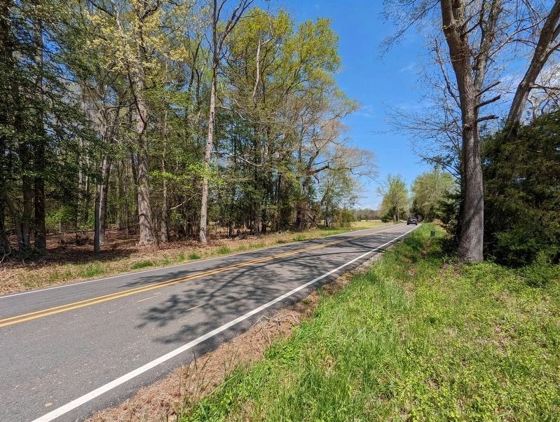
Location. 37° 26.254′ N, 77° 14.109′ W. Marker is near Richmond, Virginia, in Henrico County. Marker is on Willis Church Road (Virginia Route 156) north of Western Run Road, on the right when traveling south. Marker is located just north of the Glendale – Malvern Hill Visitor Center in Richmond National Battlefield Park. Touch for map. Marker is at or near this postal address: 8290 Western Run Rd, Henrico VA 23231, United States of America. Touch for directions.
Other nearby markers. At least 8 other markers are within walking distance of this marker. Glendale National Cemetery (about 600 feet away, measured in a direct line); A National Cemetery System (about 600 feet away); Willis' Church (approx. 0.2 miles away); a different marker also named Seven Days Battles (approx. 0.4 miles away); a different marker also named Seven Days’ Battles (approx. 0.6 miles away); Glendale (Frayser’s Farm) (approx. 0.6 miles away); Riddell's Shop (approx. 0.6 miles away); Battle of Glendale (approx. 0.6 miles away). Touch for a list and map of all markers in Richmond.
Also see . . . The Seven Days Battle. HistoryCentral.com website. (Submitted on January 5, 2009, by Bill Coughlin of Woodland Park, New Jersey.)
Credits. This page was last revised on April 28, 2022. It was originally submitted on January 5, 2009, by Bill Coughlin of Woodland Park, New Jersey. This page has been viewed 1,594 times since then and 17 times this year. Last updated on April 25, 2022, by Bradley Owen of Morgantown, West Virginia. Photos: 1, 2. submitted on January 5, 2009, by Bill Coughlin of Woodland Park, New Jersey. 3. submitted on April 25, 2022, by Mike Wintermantel of Pittsburgh, Pennsylvania. 4. submitted on January 5, 2009, by Bill Coughlin of Woodland Park, New Jersey. • Bernard Fisher was the editor who published this page.


