Near Fairfax in Fairfax County, Virginia — The American South (Mid-Atlantic)
The Battle of "Chantilly" (Ox Hill) — Then & Now
★ The Battle of Ox Hill ★
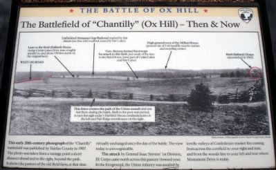
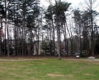
This early 20th-century photograph of the “Chantilly” battlefield was published by Fairfax County in 1907. The photo was taken from a vantage point a short distance ahead and to the right, beyond the park. It shows the pasture of the old Reid farm, at that time virtually unchanged since the day of the battle. The view today is unrecognizable.
The attack by General Isaac Stevens’ 1st Division, IX Corps came north across this pasture (toward you). In the foreground, the Union infantry was assailed by terrific volleys of Confederate musket fire coming from across the cornfield to your right and rear, and from the woods line to your left and rear where Monument Drive is today.
Erected 2008 by Fairfax County Park Authority.
Topics. This historical marker is listed in this topic list: War, US Civil. A significant historical year for this entry is 1907.
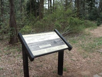
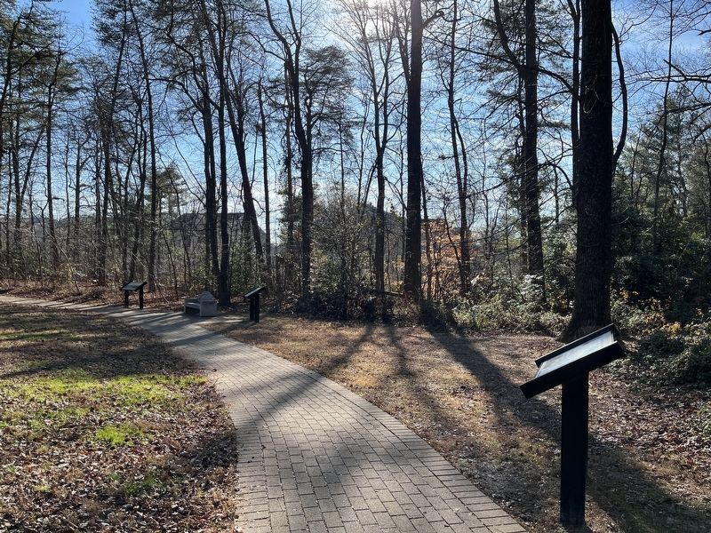
Location. 38° 51.882′ N, 77° 22.248′ W. Marker is near Fairfax, Virginia, in Fairfax County. Marker can be reached from West Ox Road (Virginia Route 608). Located at the second trail stop wayside at the Ox Hill Battlefield Park Interpretive Trail. Touch for map. Marker is at or near this postal address: 4134 West Ox Road, Fairfax VA 22033, United States of America. Touch for directions.
Other nearby markers. At least 8 other markers are within walking distance of this marker. Attack of General Birney’s Brigade (here, next to this marker); The Death of General Kearny (a few steps from this marker); The Attack and Death of General Stevens (within shouting distance of this marker); Boulders and Quartz Stone (about 300 feet away, measured in a direct line); Major General Philip Kearny (about 300 feet away); Where the Battle was Fought (about 300 feet away); Wounds Suffered at Ox Hill (Chantilly) (about 300 feet away); Sequel to Second Manassas (about 300 feet away). Touch for a list and map of all markers in Fairfax.
More about this marker. The marker labels seven locations with black arrows and captions. The locations labeled are (from left to right):
-West Ox Road
-Lane to the Reid (Ballard) House. (today Cedar Lakes Drive runs roughly parallel to, and about 150 feet north of, the original lane)
-Unfinished Manassas Gap Railroad. Marked by this distant tree line (old roadbed erased by Fair Lakes)
-Gen. Stevens formed his troops for attack in this field, just south of the lane to the Reid House (now part of Cedar Lakes and Fair Lakes)
-High ground west of the Millan House (present site of I-66 landfill, transfer station and recycling center)
-Reid (Ballard) House (demolished in 1965)-This fence crosses the path of the Union assault and was not there during the battle. Built in the post-war period, it runs through today's Fairfield House condominiums on the left and Fair Ridge townhouses on the right.
Also see . . .
1. 1907 Battlefield Photo. “A Last Salute” (Submitted on January 10, 2009.)
2. The Battle of Chantilly. Civil War Preservation Trust (Submitted on January 10, 2009.)
Credits. This page was last revised on December 28, 2022. It was originally submitted on January 10, 2009. This page has been viewed 1,986 times since then and 24 times this year. Photos: 1. submitted on January 10, 2009. 2. submitted on April 19, 2014, by Bill Coughlin of Woodland Park, New Jersey. 3. submitted on January 10, 2009. 4. submitted on December 22, 2022, by Adam Margolis of Mission Viejo, California. • Craig Swain was the editor who published this page.


