Vienna in Fairfax County, Virginia — The American South (Mid-Atlantic)
Civil War Star Fort
1861–1865
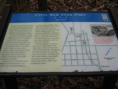
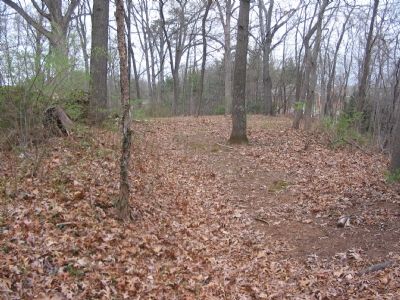
This six-point, star-shaped earthen fort with a 130-yard perimeter was constructed on the highest point of land in the area. It provided a commanding view of the western and northwestern approaches to Vienna.
Earthwork fortifications, serving as picket posts to protect approaches to Washington, D.C., or to protect railroads, were built throughout northern Virginia during the Civil War. Some of these earthworks can be identified as Union or Confederate, but those in areas such as Vienna, which was occupied at times by both armies, often cannot be. Researchers thus far have been unable to document this redoubt or identify its builder.
Because of the complexity of its design and the time required to construct a star-shaped earthwork, it is a less common example of Civil War field fortifications. This work, with outlying rifle trenches, is thought to have been built between 1863 and 1865 to protect the Loudoun and Hampshire Railroad that ran 100 yards to the northeast. This site is also within 200 yards of Lawyers Road, then a prominent route to the northwest as well as to the City of Fairfax.
This fortification is located on part of the 1745 Northern Neck land grant to John Jenkins, later sold to William Fairfax. During the Civil War the land was owned by the Gunnell family. The Keith and McCandish families, who deeded the property to the American Legion Post #180 in 1956, were subsequent owners.
Erected by Virginia Civil War Trails.
Topics and series. This historical marker is listed in these topic lists: Forts and Castles • War, US Civil. In addition, it is included in the Virginia Civil War Trails series list. A significant historical year for this entry is 1863.
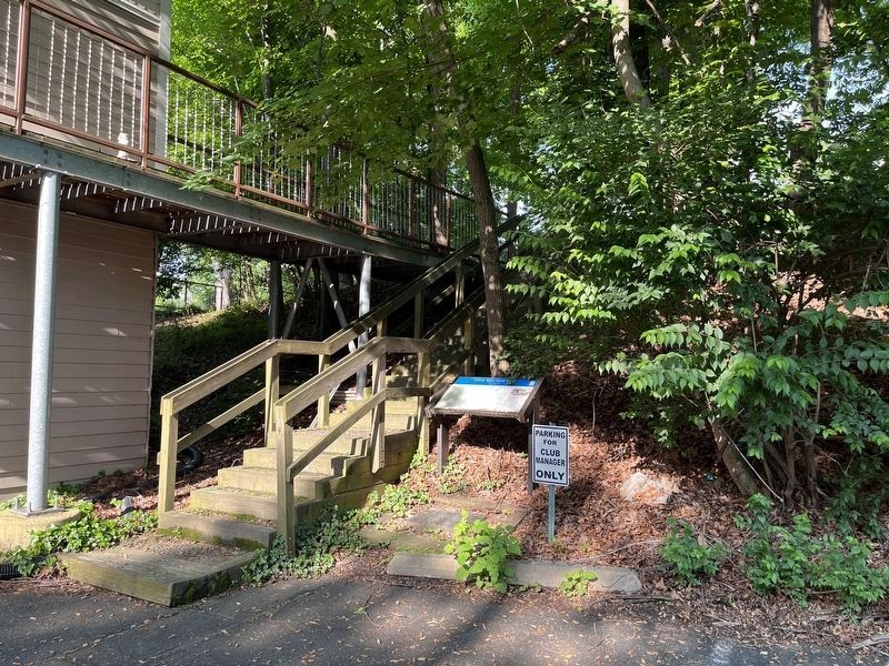
Location. 38° 54.325′ N, 77° 16.245′ W. Marker is in Vienna, Virginia, in Fairfax County. Marker is on North Center Street, on the left when traveling west. In the parking lot of the Dyer-Gunnell American Legion Post #180. Touch for map. Marker is at or near this postal address: 330 North Center Street, Vienna VA 22180, United States of America. Touch for directions.
Other nearby markers. At least 8 other markers are within walking distance of this marker. Veterans Memorial (within shouting distance of this marker); The Vienna Star Fort (within shouting distance of this marker); Salsbury Spring (about 700 feet away, measured in a direct line); Tracks into History (approx. ¼ mile away); Vienna Station (approx. ¼ mile away); Vienna Centennial Park (approx. 0.3 miles away); Washington & Old Dominion Railroad Regional Park (approx. 0.3 miles away); Freeman Store and Museum (approx. 0.3 miles away). Touch for a list and map of all markers in Vienna.
More about this marker. The marker features
Also see . . .
1. Civil War Fortifications - Star Fort. (Submitted on July 3, 2007, by Craig Swain of Leesburg, Virginia.)
2. Civil War Sites along the W & OD Railroad Trail. (The Loudoun and Hampshire Rail Road became the Washington and Old Dominion) (Submitted on July 3, 2007, by Craig Swain of Leesburg, Virginia.)

Photographed By Devry Becker Jones (CC0), May 20, 2022
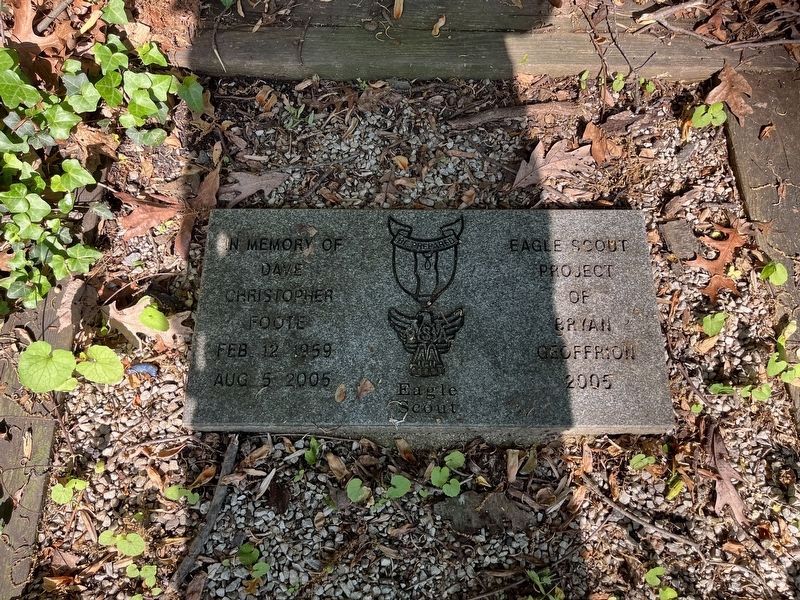
4. Dedication plaque at the foot of the marker
Credits. This page was last revised on May 21, 2022. It was originally submitted on July 3, 2007, by Craig Swain of Leesburg, Virginia. This page has been viewed 5,642 times since then and 132 times this year. Photos: 1. submitted on July 3, 2007, by Craig Swain of Leesburg, Virginia. 2. submitted on May 21, 2022, by Devry Becker Jones of Washington, District of Columbia. 3. submitted on July 3, 2007, by Craig Swain of Leesburg, Virginia. 4. submitted on May 21, 2022, by Devry Becker Jones of Washington, District of Columbia. • J. J. Prats was the editor who published this page.


