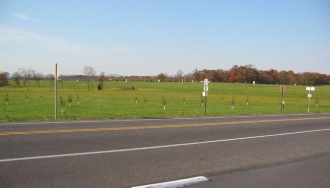
Near Gettysburg in Adams County, Pennsylvania — The American Northeast (Mid-Atlantic)
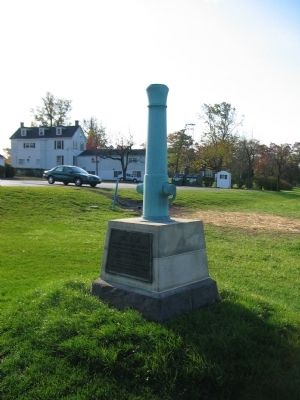
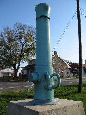
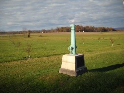
Headquarters of the Army of Northern Virginia
Inscription.
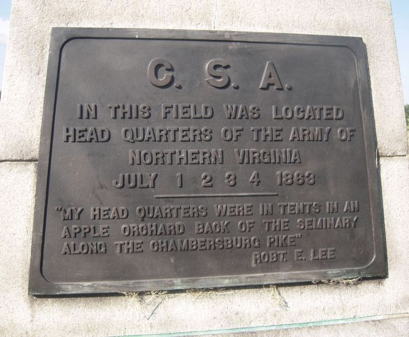
In this field was located
headquarters of the Army of
Northern Virginia
July 1. 2. 3. 4. 1863
"My headquarters were in tents in an
apple orchard back of the Seminary
along the Chambersburg Pike"
Robt. E. Lee
Erected 1920 by Gettysburg National Military Park Commission.
Topics. This historical marker is listed in this topic list: War, US Civil. A significant historical year for this entry is 1863.
Location. 39° 50.09′ N, 77° 14.729′ W. Marker is near Gettysburg, Pennsylvania, in Adams County. Marker is on Chambersburg Pike (U.S. 30), on the right when traveling east. Located just west of the Seminary Ridge in Gettysburg National Military Park. Touch for map. Marker is in this post office area: Gettysburg PA 17325, United States of America. Touch for directions.
Other nearby markers. At least 8 other markers are within walking distance of this marker. Lee's Headquarters At Gettysburg (within shouting distance of this marker); Lee's Headquarters at Gettysburg (within shouting distance of this marker); a different marker also named Lee's Headquarters at Gettysburg (within shouting distance of this marker); a different marker also named Lee's Headquarters at Gettysburg (within shouting distance of this marker); a different marker also named Lee's Headquarters at Gettysburg (within shouting distance of this marker); a different marker also named Lee's Headquarters at Gettysburg (within shouting distance of this marker); a different marker also named Lee's Headquarters At Gettysburg (within shouting distance of this marker); 95th New York Infantry (within shouting distance of this marker). Touch for a list and map of all markers in Gettysburg.
Also see . . .
1. Report of General Robert E. Lee. In his official report, General Lee discussed the reasons for invading the North in 1863:
The position occupied by the enemy opposite Fredericksburg -being one in which he could not be attacked to advantage, it was determined to draw him from it. The execution of this purpose embraced the relief of the Shenandoah Valley from the troops that had occupied the lower part of it during the winter and spring, and, if practicable, the transfer of the scene of hostilities north of the Potomac. It was thought that the corresponding movements on the part of the enemy to which those contemplated by us would probably give rise, might offer a fair opportunity to strike a blow at the army then commanded by General Hooker, and that in any even that army would be compelled to leave Virginia, and, possibly, to draw to its support troops designed to operate against other parts of the country. (Submitted on January 13, 2009, by Craig Swain of Leesburg, Virginia.)
2. Seminary Ridge Orchard and the Thompson House. A look at the battlefield location by Gettysburg Daily. Where was General Lee's headquarters? (Submitted on July 12, 2010, by Craig Swain of Leesburg, Virginia.)
Credits. This page was last revised on January 27, 2021. It was originally submitted on January 13, 2009, by Craig Swain of Leesburg, Virginia. This page has been viewed 1,188 times since then and 31 times this year. Photos: 1. submitted on January 13, 2009, by Craig Swain of Leesburg, Virginia. 2. submitted on January 26, 2021, by Bradley Owen of Morgantown, West Virginia. 3. submitted on January 13, 2009, by Craig Swain of Leesburg, Virginia. 4. submitted on November 13, 2010, by Bill Coughlin of Woodland Park, New Jersey. 5. submitted on January 13, 2009, by Craig Swain of Leesburg, Virginia.
