Near Petersburg in Dinwiddie County, Virginia — The American South (Mid-Atlantic)
The Breakthrough
The Breakthrough Trail
— Pamplin Historical Park —
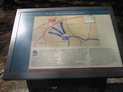
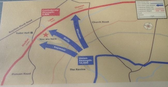
In the pre-dawn darkness of April 2, the Union Sixth Corps deployed in a wedge-shaped formation aimed at the Confederate works directly in front of you. They began their attack at 4:30 a.m. In a matter of minutes they had crossed what was then one-half mile of open fields and approached the Confederate fortifications.
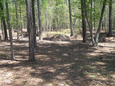
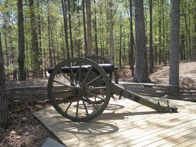
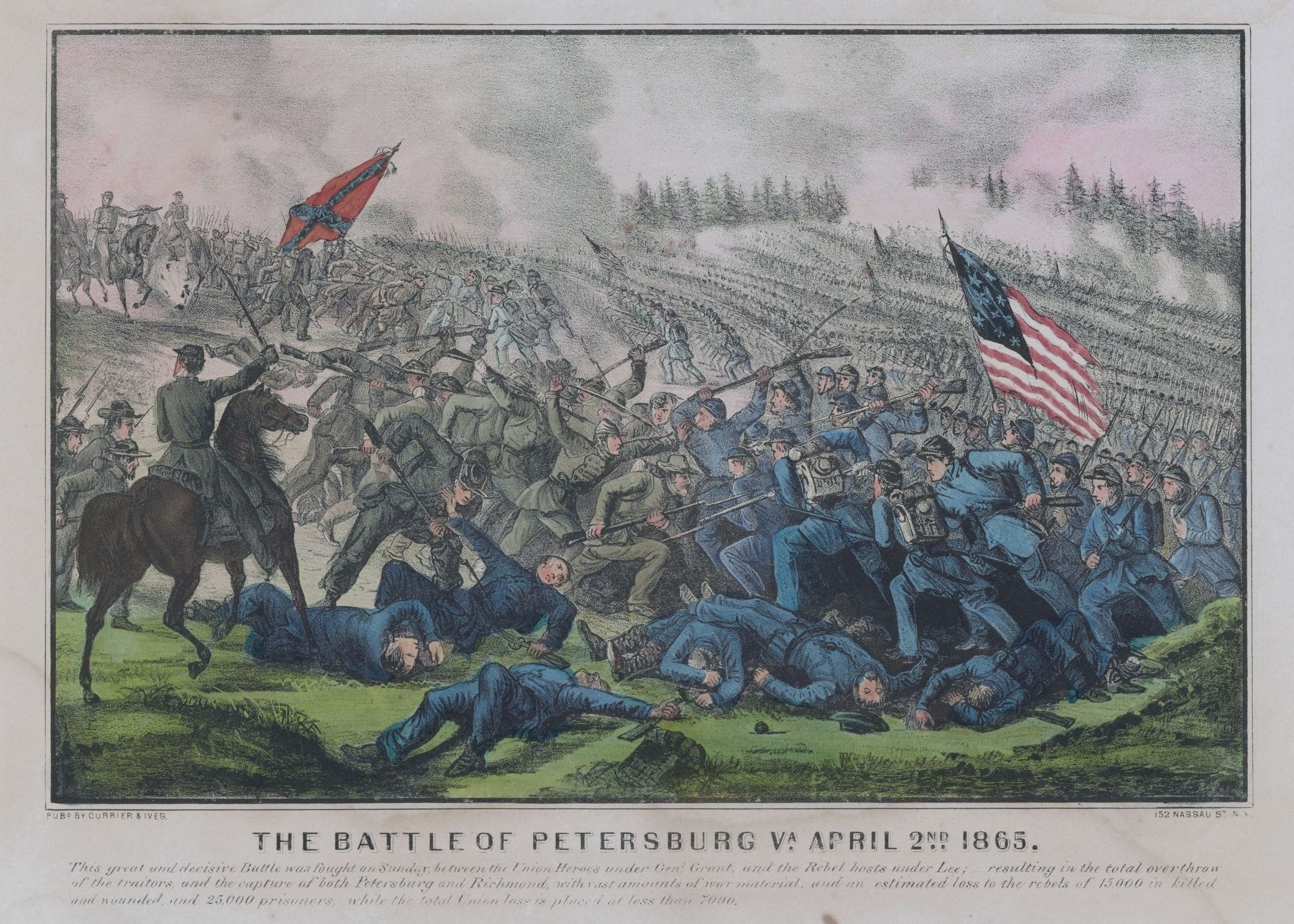
The grayclad defenders, soldiers from North Carolina, blasted the attackers with muskets and cannon fire, inflicting hundreds of casualties in about fifteen minutes. Despite these terrible losses, the brave and determined Northerners sustained their momentum and scrambled up and over the earthworks.
A vicious hand-to-hand struggle took place along the Confederate works, but the outnumbered Southerners could not hold their position. Many of the Confederates were captured – unknown numbers of others were killed or wounded. Soon, Union flags flew from these ramparts that had been defended for so long by General Robert E. Lee’s devoted troops.
The Breakthrough here forced General Lee to evacuate Petersburg that night. Confederate government officials fled the capital at Richmond as well. One week later, Lee surrendered to Grant at Appomattox Court House.
Erected by Pamplin Historical Park.
Topics. This historical marker is listed in this topic list: War, US Civil. A significant historical date for this entry is April 1, 1858.
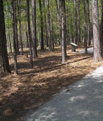
Location. 37° 10.912′ N, 77° 28.435′ W. Marker is near Petersburg, Virginia, in Dinwiddie County. Marker can be reached from Duncan Road (Virginia Route 670), on the left when traveling south. Marker is in Pamplin Historical Park, on the Breakthrough Trail. Touch for map. Marker is in this post office area: Petersburg VA 23803, United States of America. Touch for directions.
Other nearby markers. At least 8 other markers are within walking distance of this marker. Battlefield Terrain (within shouting distance of this marker); First Man Over the Works (within shouting distance of this marker); Brother vs. Brother (about 300 feet away, measured in a direct line); 1st Lieutenant Octavius Augustus Wiggins (about 400 feet away); 1st Lieutenant Evander McNair Robeson (about 400 feet away); Confederate Winter Huts (about 400 feet away); Lieutenant Colonel George B. Damon (about 500 feet away); Lane’s North Carolina Brigade (about 500 feet away). Touch for a list and map of all markers in Petersburg.
More about this marker. The top of the marker is a battle map of the Breakthrough, indicating the approach of the Union troops, the position of Confederate fortifications and the location of the marker.
Also see . . .
1. Breakthrough at Petersburg. The American Civil War website. (Submitted on January 17, 2009, by Bill Coughlin of Woodland Park, New Jersey.)
2. The Final Assault. The Civil War Siege of Petersburg. (Submitted on January 17, 2009, by Bill Coughlin of Woodland Park, New Jersey.)
3. The Third Battle of Petersburg, or the Breakthrough at Petersburg. (Submitted on March 31, 2019, by J. Makali Bruton of Accra, Ghana.)
Credits. This page was last revised on February 2, 2023. It was originally submitted on January 17, 2009, by Bill Coughlin of Woodland Park, New Jersey. This page has been viewed 1,311 times since then and 32 times this year. It was the Marker of the Week March 31, 2019. Photos: 1, 2, 3, 4, 5. submitted on January 17, 2009, by Bill Coughlin of Woodland Park, New Jersey. 6. submitted on March 30, 2019, by J. J. Prats of Powell, Ohio.
