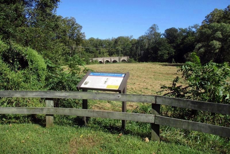
Near Upperville in Loudoun County, Virginia — The American South (Mid-Atlantic)
Attack at Goose Creek Bridge
“Take That Bridge At All Hazards”
— Prelude to Gettysburg —
Inscription.
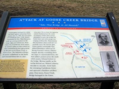
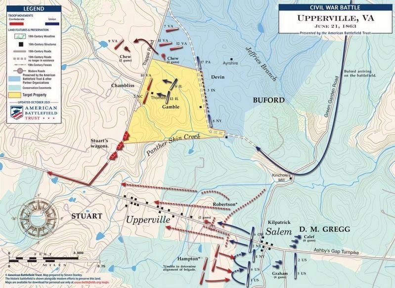
Leapfrogging westward in a delaying action against advancing Union cavalry June 21, 1863, the rear guard of Confederate Gen. J.E.B. Stuart, commanded by Gen. Wade Hampton, took up a strong position on the steep ridge just behind you. From there two Confederate horse batteries opened volleys at blue-coated soldiers assembling on the high ground to the east across Goose Creek in front of you. Two batteries of Federal cannon unlimbered on the bluffs and returned direct fire at a ferocious pace. For an hour the opposing cannon dueled across the creek. A company of New York cavalry attempted to seize the bridge but failed when met with savage converging artillery fire. Determining that horsemen alone could not carry the narrow span, Union cavalry commander Gen. Alfred Pleasonton called up Col. Strong Vincent’s veteran infantry brigade. Quickly scrambling down the slopes in concentrated force, the foot soldiers poured across the creek while cavalry followed behind on the bridge. Moving rapidly up the incline behind you, Federal infantry, shoulder to shoulder, threw back the retreating Confederate forces and captured a Southern artillery piece. Once more, Goose Creek Bridge belonged to the Union.
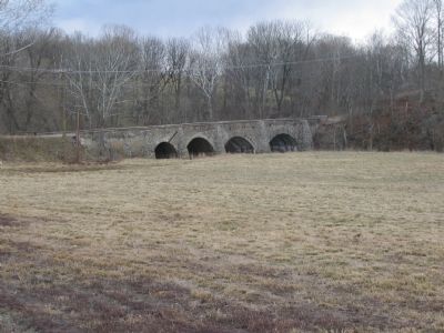
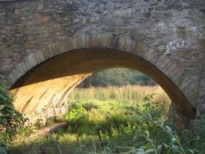
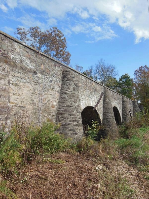
History of Goose Creek Bridge. Built between 1801 and 1803 during the presidency of Thomas Jefferson, this elegant four-arch bridge is a Virginia Historic Landmark. It is the longest remaining stone turnpike bridge in the state and one of the oldest in the Commonwealth. The Fauquier-Loudoun Garden Club maintains the bridge with funds raised from private donations.
Erected by Civil War Trails.
Topics and series. This historical marker is listed in these topic lists: Bridges & Viaducts • War, US Civil. In addition, it is included in the Virginia Civil War Trails series list. A significant historical date for this entry is June 21, 1863.
Location. This marker has been replaced by another marker nearby. It was located near 38° 58.935′ N, 77° 49.259′ W. Marker was near Upperville, Virginia, in Loudoun County. Marker was on Lemmons Bottom Road north of John S. Bosby Highway (U.S. 50), on the right when traveling north. The marker is North of US 50, on Lemmons Bottom Road, between Middleburg and Upperville. State route 832 as depicted on the Google maps is inaccurate, being closed to traffic some 0.2 mile from the main road. US 50 more or less parallels the Loudoun-Fauquier County line along this point, but the marker is in Loudoun County. The turn onto Lemmons Bottom Road is on the north side of US 50 opposite the intersection of Crenshaw Road. Touch for map. Marker was in this post office area: Upperville VA 20184, United States of America. Touch for directions.
Other nearby markers. At least
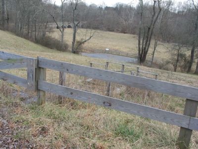
Photographed By Craig Swain, February 5, 2007
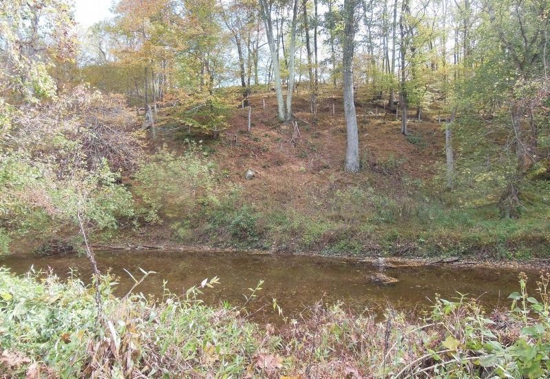
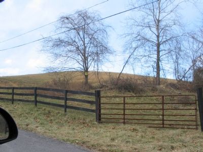
2. View of Goose Creek Bridge from Lemmons Bottom Road.
In the center, looking down hill is the parking lot for the marker. Goose Creek is the far treeline at the top of the picture. The bridge is on the upper left side. Federal troops approached from the high ground behind the far treeline.
More about this marker. The marker also displays a map of the action, as well as pictures of Nehemiah H. Mann, leader of the 4th New York cavalry, and Captain Marcellus N. Moorman, commanding Moorman’s Confederate battery.
Regarding Attack at Goose Creek Bridge. The short battle at Goose Creek Bridge was part of a five day running cavalry fight in mid June 1863, all along Ashby’s Gap Road, modern US 50. These actions were a result of Confederate General R. E. Lee’s movements North, leading to the Gettysburg campaign. Confederate Cavalry under General Stuart screened the main parts of the Army of Northern Virginia from being observed by Federal forces. The Federal cavalry under General Pleasonton attempted
repeatedly to drive Stuart's cavalry away and locate Lee’s forces, but were thwarted. As result, Lee was able to move North, however Stuart’s cavalry was out of position. The great Southern cavalry commander would make his way North by heading first Southeast to Haymarket, VA then North, crossing the Potomac River just above Dranesville, VA. Thus Lee was deprived of Stuart’s services leading up to the great battle of Gettysburg.
Related markers. Click here for a list of markers that are related to this marker. The replacement wayside is included.
Credits. This page was last revised on June 13, 2023. It was originally submitted on June 4, 2007, by Craig Swain of Leesburg, Virginia. This page has been viewed 5,117 times since then and 47 times this year. Last updated on July 4, 2007, by Craig Swain of Leesburg, Virginia. Photos: 1, 2. submitted on June 4, 2007, by Craig Swain of Leesburg, Virginia. 3. submitted on April 28, 2021, by Bradley Owen of Morgantown, West Virginia. 4, 5, 6. submitted on June 4, 2007, by Craig Swain of Leesburg, Virginia. 7. submitted on November 29, 2008, by Andrew Mickert of Round Hill, Virginia. 8. submitted on April 27, 2021, by Bradley Owen of Morgantown, West Virginia. 9. submitted on April 23, 2022. 10. submitted on June 13, 2023, by Larry Gertner of New York, New York. • J. J. Prats was the editor who published this page.
