Ticonderoga in Essex County, New York — The American Northeast (Mid-Atlantic)
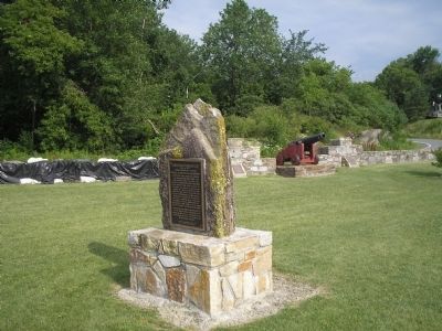
Carillon Bridge
Michel de Chartier de Lotbiniére
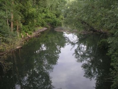
engineer of Fort Carillon, bridged this stream and harnessed this waterpower for the first time. Sawmills, storehouses and barracks were located here, being within the Seignory of Alainville granted by France in 1758 to Lotbiniére, this was the first patent covering site of Ticonderoga. His vast estate subsequently granted to British soldiers, Lotbiniére in 1776 refused England’s offer of compensation, preferring to aid Franklin in obtaining French support for the American cause.
Because of this sacrifice, unrequited by the Continental Congress, this bridge is gratefully dedicated to the Seignior of Alainville who was also an American patriot.
Erected by Ticonderoga Chapter, S.A.R.
and the State of New York. 1933
Erected 1933 by Sons of the American Revolution, Ticonderoga Chapter & the State of New York.
Topics and series. This historical marker is listed in these topic lists: Bridges & Viaducts • Colonial Era. In addition, it is included in the Sons of the American Revolution (SAR) series list. A significant historical year for this entry is 1758.
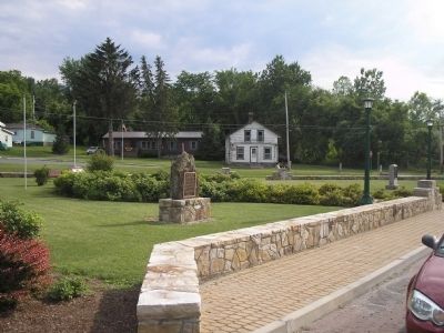
Location. 43° 50.996′ N, 73° 24.846′ W. Marker is in Ticonderoga, New York, in Essex County. Marker is on Montcalm Street, on the right when traveling east. Marker is located in Carillon Park. Touch for map. Marker is in this post office area: Ticonderoga NY 12883, United States of America. Touch for directions.
Other nearby markers. At least 8 other markers are within walking distance of this marker. Original Carillon Bridge (here, next to this marker); Carillon Park (a few steps from this marker); Gen. Henry Knox Trail (a few steps from this marker); a different marker also named Carillon Bridge (a few steps from this marker); A Way to the World (approx. 0.2 miles away); Samuel De Champlain (approx. ¼ mile away); Sharing the Flow (approx. ¼ mile away); The Power of Water (approx. 0.3 miles away). Touch for a list and map of all markers in Ticonderoga.
Credits. This page was last revised on June 16, 2016. It was originally submitted on January 24, 2009, by Bill Coughlin of Woodland Park, New Jersey. This page has been viewed 1,220 times since then and 19 times this year. Photos: 1, 2, 3, 4. submitted on January 24, 2009, by Bill Coughlin of Woodland Park, New Jersey.


