Near Richmond in Henrico County, Virginia — The American South (Mid-Atlantic)
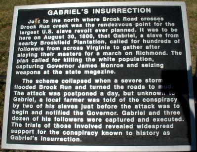
Gabrielís Insurrection
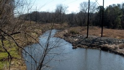
The scheme collapsed when a severe storm flooded Brook Run and turned the roads to mud. The attack was postponed a day, but unknown to Gabriel, a local farmer was told of the conspiracy by two of his slaves just before the attack was to begin and notified the Governor. Gabriel and three dozen of his followers were captured and executed. The trials of those involved revealed widespread support for the conspiracy know to history as Gabrielís Insurrection.
Topics and series. This historical marker is listed in this topic list: African Americans. In addition, it is included in the Former U.S. Presidents: #05 James Monroe series list. A significant historical year for this entry is 1800.
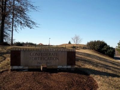
Location. 37° 36.657′ N, 77° 27.522′ W. Marker is near Richmond, Virginia, in Henrico County. Marker can be reached from Brook Road (U.S. 1) 0.1 miles west of Brook Road (U.S. 1), on the left when traveling north. This marker is located at the Confederate Fortifications site in the Brook Run shopping center. Touch for map. Marker is in this post office area: Richmond VA 23227, United States of America. Touch for directions.
Other nearby markers. At least 8 other markers are within walking distance of this marker. The Fort Under Attack (here, next to this marker); Confederate Fortifications (a few steps from this marker); Stuart's Ride (within shouting distance of this marker); Richmond Defences (about 500 feet away, measured in a direct line); Brook Road (about 500 feet away); Outer Fortifications (about 500 feet away); Campaign of 1781 (about 500 feet away); Emmanuel Church at Brook Hill Episcopal (approx. 0.3 miles away). Touch for a list and map of all markers in Richmond.
Credits. This page was last revised on June 16, 2016. It was originally submitted on February 8, 2009, by Bernard Fisher of Richmond, Virginia. This page has been viewed 1,335 times since then and 35 times this year. Photos: 1, 2, 3. submitted on February 8, 2009, by Bernard Fisher of Richmond, Virginia. • Craig Swain was the editor who published this page.


