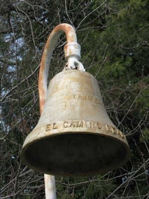
Placerville in El Dorado County, California — The American West (Pacific Coastal)
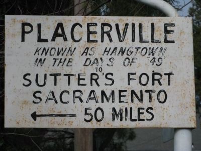
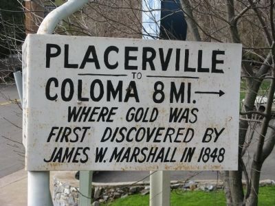
Placerville
[Marker facing Bee Street]
[Marker facing Coloma Street-State Hwy 49]
Erected 1948.
Topics. This historical marker is listed in these topic lists: Notable Events • Notable Places • Roads & Vehicles • Settlements & Settlers. A significant historical year for this entry is 1848.
Location. 38° 43.908′ N, 120° 48.398′ W. Marker is in Placerville, California, in El Dorado County. Marker is at the intersection of Coloma Street (State Hwy 49) and Bee Street, on the left when traveling north on Coloma Street (State Hwy 49). Touch for map. Marker is in this post office area: Placerville CA 95667, United States of America. Touch for directions.
Other nearby markers. At least 8 other markers are within walking distance of this marker. Joseph M. Staples (about 400 feet away, measured in a direct line); Bee-Bennett House (about 500 feet away); Sgt. J. Scott Lindsay (approx. 0.3 miles away); Site of Original Raley’s Grocery Store (approx. 0.3 miles away); Site of Placerville Drive In Market (approx. 0.3 miles away); Three Unfortunates Hanged (approx. 0.3 miles away); Snowshoe Thompson (approx. 0.3 miles away); Placerville Pony Express (approx. 0.3 miles away). Touch for a list and map of all markers in Placerville.
Additional commentary.
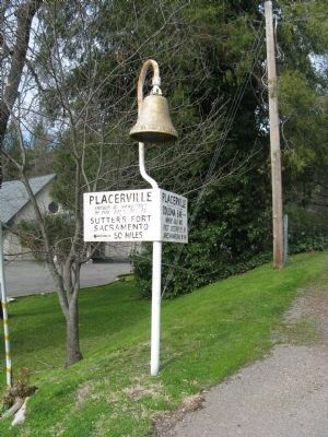
1. An "El Camino Real Bell" in Placerville??
It’s curious that an “El Camino Real Bell” would be placed here, as this site is approximately 130 miles from the El Camino Real. From speaking with a representative of the El Dorado County History Museum in Placerville it was learned that the bell was placed here in 1948 to celebrate the Gold Discovery Centennial.
During the late 1940’s El Camino Real Bells were placed throughout the state to commemorate important California historical events.
— Submitted February 10, 2009, by Syd Whittle of Mesa, Arizona.
Additional keywords. California El Camino Real Bells
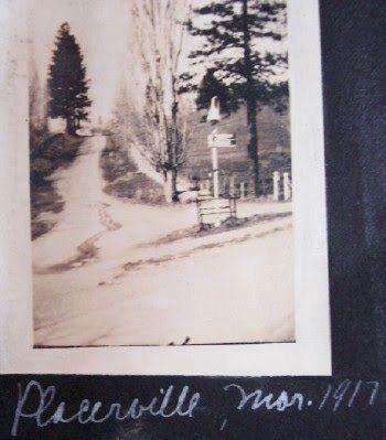
Credits. This page was last revised on October 29, 2016. It was originally submitted on February 10, 2009, by Syd Whittle of Mesa, Arizona. This page has been viewed 1,876 times since then and 34 times this year. Photos: 1, 2. submitted on February 10, 2009, by Syd Whittle of Mesa, Arizona. 3. submitted on October 28, 2016, by Bill Morgan of Clearlake, California. 4, 5. submitted on February 10, 2009, by Syd Whittle of Mesa, Arizona.
Editor’s want-list for this marker. Name of organization that placed this bell and marker. • Can you help?
