Near Mechanicsville in Hanover County, Virginia — The American South (Mid-Atlantic)
Scars of Conflict
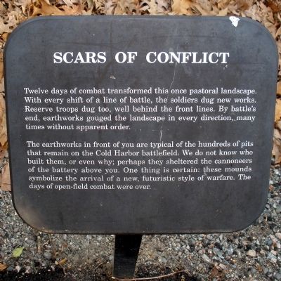
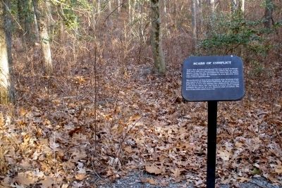
The earthworks in front of you are typical of the hundreds of pits that remain on the Cold Harbor battlefield. We do not know who built them, or even why; perhaps they sheltered the cannoneers of the battery above you. One thing is certain: these mounds symbolize the arrival of a new, futuristic style of warfare. The days of open-field combat were over.
Erected by Hanover County Parks and Recreation, National Park Service.
Topics. This historical marker is listed in this topic list: War, US Civil.
Location. 37° 35.1′ N, 77° 16.625′ W. Marker is near Mechanicsville, Virginia, in Hanover County. Marker can be reached from Cold Harbor Road (State Highway 156) 0.2 miles east of Boatswain Lane, on the right when traveling east. This marker is located along a one-mile trail in the 50-acre Cold Harbor Battlefield Park. Touch for map. Marker is at or near this postal address: 6005 Cold Harbor Road, Mechanicsville VA 23111, United States of America. Touch for directions.
Other nearby markers. At least 8 other markers are within walking distance of this marker. The Bloody Eighth (a few steps from this marker); Federal Artillery Battery (within shouting distance of this marker); A Well Preserved Union Artillery Position (about 300 feet away, measured in a direct line); The Battle of Gaines’ Mill - 1862 (about 300 feet away); A Dreadful Harvest (about 500 feet away); The Deadly Work of Sharpshooters (about 500 feet away); Preparation For Battle (about 600 feet away); Digging In (about 600 feet away). Touch for a list and map of all markers in Mechanicsville.
Also see . . .
1. Hanover County Parks and Recreation. Cold Harbor Battlefield Park (Submitted on February 17, 2009, by Bernard Fisher of Richmond, Virginia.)
2. Richmond National Battlefield Park. Cold Harbor (Submitted on February 17, 2009, by Bernard Fisher of Richmond, Virginia.)
3. CWSAC Battle Summary. Cold Harbor (Submitted on February 17, 2009, by Bernard Fisher of Richmond, Virginia.)
4. Cold Harbor Battlefield Park Walking Trail. This marker is one along the walking trail around a portion of the Cold Harbor Battlefield preserved by Hanover County Parks and Recreation. (Submitted on February 17, 2009, by Bernard Fisher of Richmond, Virginia.)
Credits. This page was last revised on June 16, 2016. It was originally submitted on February 17, 2009, by Bernard Fisher of Richmond, Virginia. This page has been viewed 1,341 times since then and 58 times this year. Photos: 1, 2. submitted on February 17, 2009, by Bernard Fisher of Richmond, Virginia. • Craig Swain was the editor who published this page.

