Cumberland Township near Gettysburg in Adams County, Pennsylvania — The American Northeast (Mid-Atlantic)
Third Brigade
Second Division - Second Corps
— Army of the Potomac —
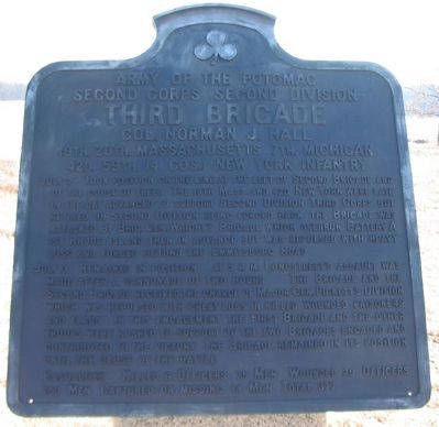
Inscription.
Second Corps Second Division
Third Brigade
Col. Norman J. Hall
19th. 20th. Massachusetts 7th. Michigan
42d. 59th. (4 Cos.) New York Infantry
July 2 Took position on the line at the left of Second Brigade and of the Copse of Trees. The 19th Mass. and the 42d New York were late in the day advanced to support Second Division Third Corps but retired on Second Division being forced back the Brigade was attacked by Brig. Gen. Wright's Brigade which overrun Battery A 1st Rhode Island then in advance but was repulsed with heavy loss and force beyond the Emmitsburg Road.
July 3 Remained in position. At 3 p.m. Longstreet's assault was made after a cannonade of two hours. The Brigade and the Second Brigade received the charge of Major Gen. Pickett's Division which was repulsed with great loss in killed wounded prisoners and flags. In this engagement the First Brigade and the other troops were rushed to support of the two Brigades and the other troops were rushed to support of the two Brigades engaged and contributed to the victory. The Brigade remained in its position until the close of the battle.
Casualties. Killed 6 officers 75 men. Wounded 29 officers 253 men. Captured or missing 14 men. Total 377.
Erected 1912 by Gettysburg National Military Park Commission.
Topics. This historical marker is listed in this topic list: War, US Civil. A significant historical date for this entry is July 3, 1863.
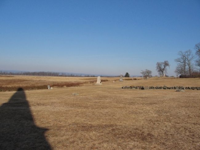
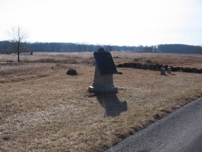
Location. 39° 48.707′ N, 77° 14.125′ W. Marker is near Gettysburg, Pennsylvania, in Adams County. It is in Cumberland Township. Marker is on Hancock Avenue, on the right when traveling north. Located south of the "Copse of Trees" and near the U.S. Regulars Memorial on Cemetery Ridge in Gettysburg National Military Park. Touch for map. Marker is in this post office area: Gettysburg PA 17325, United States of America. Touch for directions.
Other nearby markers. At least 8 other markers are within walking distance of this marker. 42nd New York Infantry (a few steps from this marker); 19th Regiment Massachusetts Infantry (within shouting distance of this marker); Battery B, 1st Rhode Island Artillery (within shouting distance of this marker); First New York Battery (within shouting distance of this marker); 7th Michigan Infantry (within shouting distance of this marker); Nineteenth Massachusetts Volunteer Infantry (within shouting distance of this marker); United States Regulars (within shouting distance of this marker); 20th Massachusetts Infantry (within shouting distance of this marker). Touch for a list and map of all markers in Gettysburg.
Also see . . . Report of Col. Norman J. Hall. Col. Hall provided two maps with his official report. In summarizing the repulse of Longstreet's assault of July 3, he wrote:
I have been thus particular in describing the parts taken by the troops of this and other commands near by because I feel bound in justice to the men of my command, and those who assisted them on that day at that point, to claim for them what fortune gave them an opportunity to do and what their arms accomplished. While the attack was general and was repulsed along the whole line, still, the tremendous effort of the rebel chief was against the point which happened to be occupied by the Second and Third Brigades of the Second Division, Second Corps. It was fully repulsed in front of the Third Brigade, which then fell upon the partially successful enemy on the line of the Second Brigade, and, with the assistance before mentioned, drove him back, finishing the day there and completing the destruction of his splendid division and many of its supports. (Submitted on February 22, 2009, by Craig Swain of Leesburg, Virginia.)

Photographed By Craig Swain, February 21, 2009
4. Right Side of Hall's Front Rank
Hall's Brigade was arrayed with the 20th Massachusetts, 7th Michigan, and 59th New York in the front rank. The 42nd and 19th Massachusetts were about 50 yards behind in a second rank. In this view, the 7th Michigan and 59th New York monuments stand along reconstructed earthworks were the rail fence stood during the battle.
Credits. This page was last revised on February 7, 2023. It was originally submitted on February 22, 2009, by Craig Swain of Leesburg, Virginia. This page has been viewed 741 times since then and 16 times this year. Photos: 1, 2, 3, 4. submitted on February 22, 2009, by Craig Swain of Leesburg, Virginia.


