Isle of Hope in Chatham County, Georgia — The American South (South Atlantic)
Isle of Hope
National Historic District
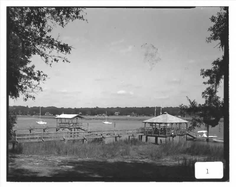
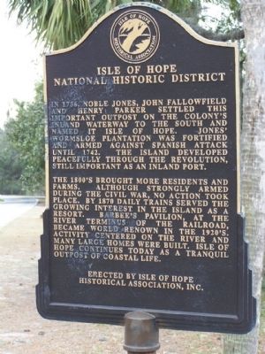
In 1736, Noble Jones, John Fallowfield and Henry Parker settled this important outpost on the colony's inland waterway to the south and named it Isle of Hope. Jones' Wormsloe plantation was fortified and armed against Spanish attack until 1742. The island developed peacefully through the Revolution, still important as an inland port.
The 1800's brought more residents and farms. Although strongly armed during the Civil War, no action took place. By 1870 daily trains served the growing interest in the island as a resort. Barbee's Pavilion, at the river terminus of the railroad, became world renown in the 1920's. Activity centered on the river and many large homes were built. Isle of Hope continues today as a tranquil outpost of coastal life.
Erected by Isle of Hope Historical Association, Inc.
Topics. This historical marker is listed in these topic lists: Colonial Era • Settlements & Settlers. A significant historical year for this entry is 1736.
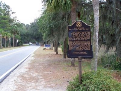
Location. 31° 58.922′ N, 81° 4.218′ W. Marker is in Isle of Hope, Georgia, in Chatham County. Marker is on Skidaway Road when traveling south. 1/4 mile north from entrance of the Wormsloe Plantation. Touch for map. Marker is in this post office area: Savannah GA 31406, United States of America. Touch for directions.
Other nearby markers. At least 8 other markers are within 3 miles of this marker, measured as the crow flies. Sandfly (approx. 0.6 miles away); Isle of Hope Methodist Church (approx. 0.6 miles away); Noble Jones’ “Wormslow” (approx. one mile away); a different marker also named Isle of Hope (approx. 1.1 miles away); Mercer Auto Camp (approx. 1.8 miles away); Bethesda (approx. 2.1 miles away); Brick Pillar (approx. 2.2 miles away); Pin Point Community (approx. 2.7 miles away). Touch for a list and map of all markers in Isle of Hope.
Also see . . . Isle of Hope. Sherpa Guides website entry:
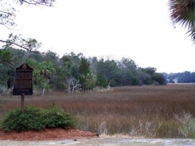
Not really an island, but a sandy peninsula with a high bluff looking over to Skidaway Island across the Intracoastal Waterway at Skidaway Narrows and the Isle of Hope River. (Submitted on February 23, 2009, by Mike Stroud of Bluffton, South Carolina.)

via NPS, unknown
3. Isle of Hope Historic District
National Register of Historic Places Digital Archive on NPGallery
Click for more information.
Click for more information.
Credits. This page was last revised on March 18, 2022. It was originally submitted on February 23, 2009, by Mike Stroud of Bluffton, South Carolina. This page has been viewed 2,081 times since then and 62 times this year. Photos: 1, 2. submitted on February 23, 2009, by Mike Stroud of Bluffton, South Carolina. 3. submitted on March 18, 2022, by Larry Gertner of New York, New York. 4. submitted on February 23, 2009, by Mike Stroud of Bluffton, South Carolina. • Kevin W. was the editor who published this page.


