Dayton in Rockingham County, Virginia — The American South (Mid-Atlantic)
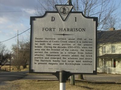
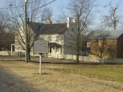
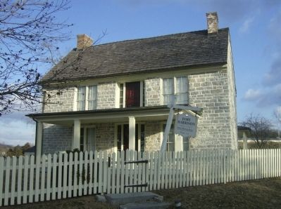
Fort Harrison
Erected 1984 by Virginia Historic Landmarks Commission. (Marker Number D-1.)
Topics and series. This historical marker is listed in these topic lists: Colonial Era • Forts and Castles • War, French and Indian. In addition, it is included in the Virginia Department of Historic Resources (DHR) series list. A significant historical year for this entry is 1745.
Location. 38° 25.086′ N, 78° 56.154′ W. Marker is in Dayton, Virginia, in Rockingham County. Marker is on Main Street, on the right when traveling south. Touch for map. Marker is in this post office area: Dayton VA 22821, United States of America. Touch for directions.
Other nearby markers. At least 8 other markers are within walking distance of this marker. Shenandoah College and Shenandoah Conservatory of Music (about 800 feet away, measured in a direct line); Lt. Col. Thomas F. Wildes (approx. 0.2 miles away); First Church in Rockingham County (approx. 0.3 miles away); Daniel Bowman Mill at Silver Lake (approx. 0.4 miles away); Silver Lake Historic District (approx. 0.4 miles away); Dayton (approx. 0.4 miles away); Origins of Shenandoah University (approx. ¾ mile away); Death of Lt. Meigs (approx. 0.9 miles away). Touch for a list and map of all markers in Dayton.
Credits. This page was last revised on September 2, 2017. It was originally submitted on February 25, 2009, by Robert H. Moore, II of Winchester, Virginia. This page has been viewed 1,348 times since then and 30 times this year. Photos: 1, 2, 3, 4. submitted on February 25, 2009, by Robert H. Moore, II of Winchester, Virginia. • Craig Swain was the editor who published this page.


