Near Fredericksburg in Spotsylvania County, Virginia — The American South (Mid-Atlantic)
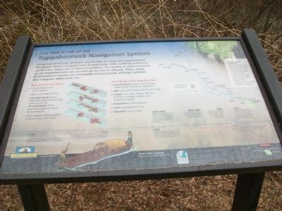
The Rise & Fall of the Rappahannock Navigation System
Inscription.
Comprised of 47 locks, 20 dams, and 15 miles of canals, the Rappahannock Navigation System struggled from its beginnings. After suffering numerous construction delays due to financial problems, the heyday of canal commerce on the Rappahannock was cut short by the rise of railroads. Today, many of the system's remains are remarkably well preserved offering a glimpse into a bygone, albeit brief, era.
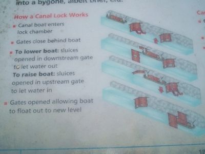
How a Canal Lock Works
Canal boat enters lock chamber
Gates close behind boat
To lower boat: sluices opened in downstream gate to let water out
To raise boat: sluices opened in upstream gate to let water in
Gates opened allowing boat to float out to new level
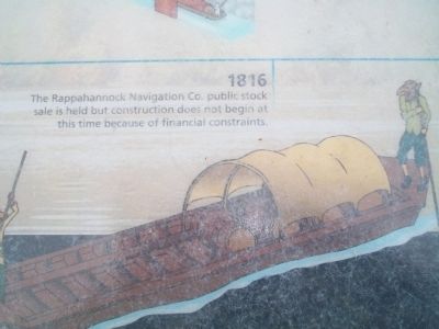
Canal Boats of the Rappahannock
Construction: shallow-draft barges made of oak, known as Batteaux
Size: up to 65 ft long and 9 ft, 9 in wide
Cargo: corn, oats, wheat, salt fish, fertilizer, whiskey, lumber, and household goods
Propulsion: poles and oars
Crew: typically two men
Capacity: up to 2 tons
(Timeline):
1792 The Rappahannock Navigation Co. is established with the goal of providing a passage along the Rappahannock River that would facilitate trade West of Fredericksburg.
1816 The Rappahannock Navigation Co. public stock sale is held but construction does not begin at this time because of financial constraints.
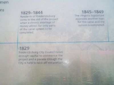
1829-1844 Residents of Fredericksburg come to the aid of the project when a chronic shortage of money allows for only parts of the canal system to be completed.
1829 Fredericksburg City Council raises enough capitol to commence the project and parade through the City is held to kick off excavation.
1845-1849 The Virginia legislature approves another loan for the canal and the system is completed.
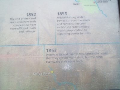
1852 The end of the canal era is imminent with the competition from more efficient roads and railways.
1853 System is turned over to two farmers in hopes that they would maintain it, but the canal eventually ends up in ruins.
1855 Fredericksburg Water Power Co. buys the assets and converts the canal section in Fredericksburg from transportation to supplying power for mills.
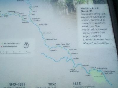
Porch's Lock (Lock 5) Like many of the locks along the navigation system, Porch's Lock remains in excellent condition. this stone lock is located below Scott's Dam approximately 5 miles upstream from Mott's Run Landing.
Erected by Friends of the Rappahannock.
Topics. This historical marker is listed in these topic lists: Agriculture • Industry & Commerce • Man-Made Features • Waterways & Vessels. A significant historical year for this entry is 1792.
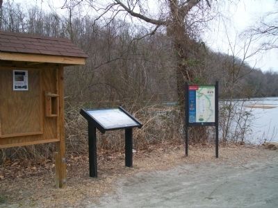
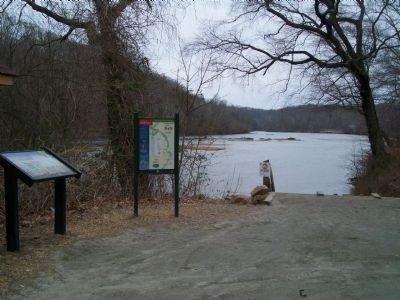
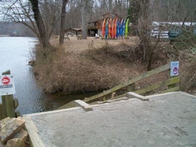
Location. 38° 18.823′ N, 77° 32.445′ W. Marker is near Fredericksburg, Virginia, in Spotsylvania County. Marker can be reached from River Road, 1½ miles west of Bragg Road, on the right when traveling west. Marker is located at the Public Boat Landing. Touch for map. Marker is at or near this postal address: 5927 River Rd, Fredericksburg VA 22404, United States of America. Touch for directions.
Other nearby markers. At least 8 other markers are within 2 miles of this marker, measured as the crow flies. Fraternizing at the Ford (approx. ¾ mile away); Chancellorsville Campaign Events in 1863 (approx. 1.2 miles away); Lake Mooney Reservoir (approx. 1.4 miles away); The Mannahoac Indigenous Tribe (approx. 1.7 miles away); 15th Reg’t. N. J. Vol’s (approx. 1.7 miles away); 23rd Regt., N. J. Vols. (approx. 1.8 miles away); Battle of Salem Church (approx. 1.8 miles away); a different marker also named Battle of Salem Church (approx. 1.8 miles away). Touch for a list and map of all markers in Fredericksburg.
Credits. This page was last revised on February 20, 2023. It was originally submitted on February 28, 2009, by Kathy Walker of Stafford, Virginia. This page has been viewed 1,398 times since then and 45 times this year. Photos: 1, 2, 3, 4, 5, 6, 7, 8, 9, 10, 11, 12, 13, 14. submitted on February 28, 2009, by Kathy Walker of Stafford, Virginia. 15, 16. submitted on March 25, 2009, by Kathy Walker of Stafford, Virginia. • Craig Swain was the editor who published this page.
