Barnesville in Montgomery County, Maryland — The American Northeast (Mid-Atlantic)
Barnesville
“Before night our town changed hands five times!”
— Antietam Campaign 1862 —
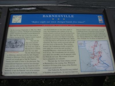
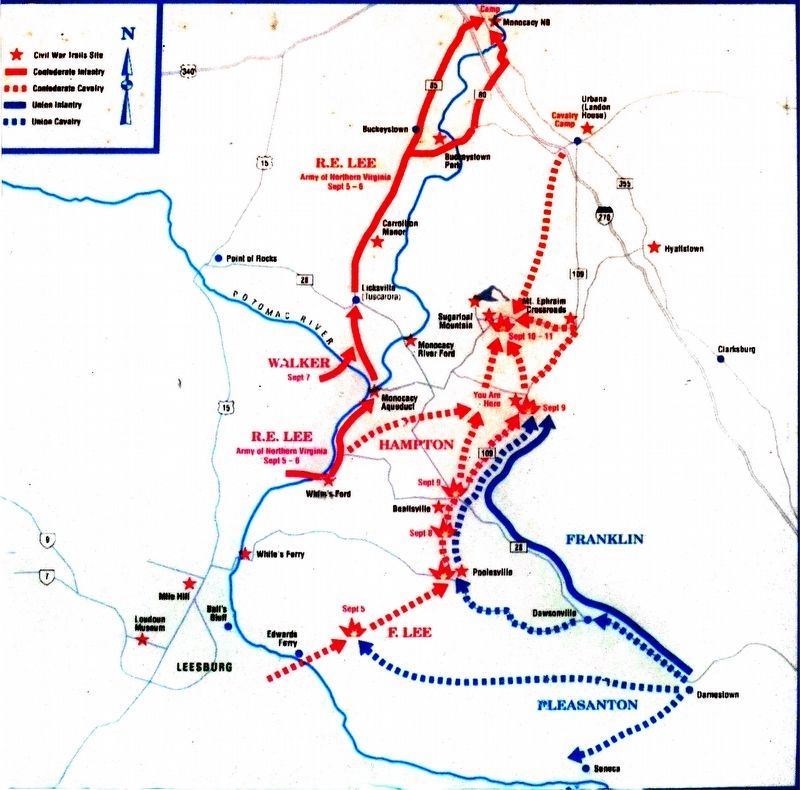
On the evening of September 5, 1862, Gen. Wade Hampton’s and Gen. Fitzhugh Lee’s Confederate cavalry brigades bivouacked around Barnesville. They rode the next day to their base camp at Urbana, leaving the 9th Virginia Cavalry to guard Barnesville.
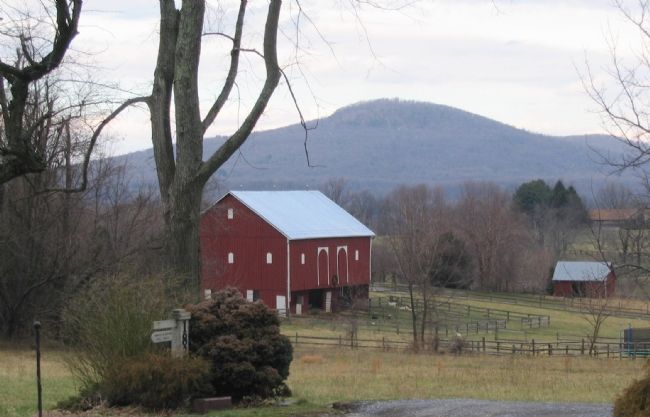
The next few days were peaceful here, but on September 9 the war came to Barnesville in a hurry, past this very spot. The 8th Illinois Cavalry, following a skirmish with the 12th Virginia Cavalry at Monocacy Church, pushed on to Barnesville and struck part of the 9th Virginia Cavalry just south of town in the afternoon. The outnumbered Virginians raced by here through town, and two miles north they found the rest of their regiment as well as the 7th Virginia Cavalry. Suddenly it was the Federals' turn to be outnumbered; they fled south down Beallsville Road, with the Confederates on their heels. South of town, two companies and a battery of the 3rd Indiana Cavalry reinforced the hard-riding Union cavalrymen, and everyone wheeled around and galloped up this road as the Federals chased the Confederates toward Sugarloaf Mountain. Believing that they had at last cleared the town of their opponents, Union cavalry returned and rode past here south of Barnesville. That evening, however, the Confederates briefly occupied the town again but retired the next morning to Sugarloaf Mountain, which stands directly in front of you. The Confederates lost one cavalryman dead, five wounded, and 19 captured, while the Federals lost none. The number of horses lost to exhaustion are unknown.
The next day, Union infantry arrived at Barnesville in the evening. Gen. William B. Franklin’s VI Corps of the Army of the Potomac camped just south of town.
Like Poolesville, Barnesville was a hotbed of Southern sympathizers. At least five local residents are known to have “gone South” (joined the Confederate forces). Prominent citizen Leonard Hayes, whose son served in the 35th Virginia Cavalry, hosted J.E.B. Stuart’s brigade commanders, Col. Thomas Munford, Gen. Wade Hampton, and Gen. Fitzhugh Lee, for dinner on September 5.
Erected by Maryland Civil War Trails.
Topics and series. This historical marker is listed in this topic list: War, US Civil. In addition, it is included in the Maryland Civil War Trails series list. A significant historical date for this entry is September 5, 1907.
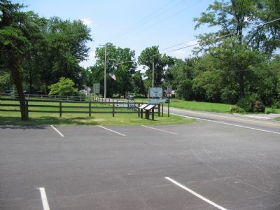
Location. 39° 13.268′ N, 77° 22.856′ W. Marker is in Barnesville, Maryland, in Montgomery County. Marker is on Barnesville Road just west of West Harris Road, on the left when traveling west. Located in the parking lot for the St. Mary’s Church. Touch for map. Marker is at or near this postal address: 18230 Barnesville Rd, Barnesville MD 20838, United States of America. Touch for directions.
Other nearby markers. At least 8 other
markers are within 3 miles of this marker, measured as the crow flies. A different marker also named Barnesville (here, next to this marker); Barnesville Station (approx. 0.8 miles away); Historic Site (approx. 2.2 miles away); Sugarloaf Mountain (approx. 2.2 miles away); Sugar Loaf Mountain (approx. 2.2 miles away); Chesapeake and Ohio Aqueduct (approx. 2½ miles away); Comus Inn (approx. 2½ miles away); 1862 Antietam Campaign (approx. 2½ miles away).
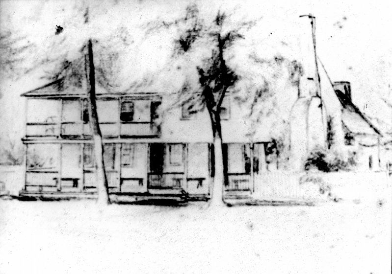
More about this marker. The marker displays a drawing of the Leonard Hayes House and a map showing the movement of forces in the Antietam Campaign.
Additional keywords. Antietam Campaign
Credits. This page was last revised on February 21, 2023. It was originally submitted on July 14, 2007. This page has been viewed 2,615 times since then and 54 times this year. Last updated on September 13, 2020, by Bradley Owen of Morgantown, West Virginia. Photos: 1, 2, 3. submitted on July 14, 2007, by Craig Swain of Leesburg, Virginia. 4, 5. submitted on June 25, 2019, by Allen C. Browne of Silver Spring, Maryland. • J. Makali Bruton was the editor who published this page.
