Near Hardwick Township in Warren County, New Jersey — The American Northeast (Mid-Atlantic)
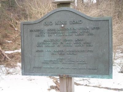
Old Mine Road
with Pahaquarry Copper Mine
Length 104 miles – Built about 1650
Pahaquarry Copper Mines
Southern end of Old Mine Road
Mine opened by Dutch about 1650.
Moses Van Campen House – Built 1755
one mile north.
Marked by
Chinkchewunska Chapter D.A.R.
Sussex County Historical Society
Marker presented by Mr. and Mrs. Ralph Decker
Erected by Daughters of the American Revolution, Chinkchewunska Chapter.
Topics and series. This historical marker is listed in these topic lists: Colonial Era • Roads & Vehicles. In addition, it is included in the Daughters of the American Revolution series list. A significant historical year for this entry is 1650.
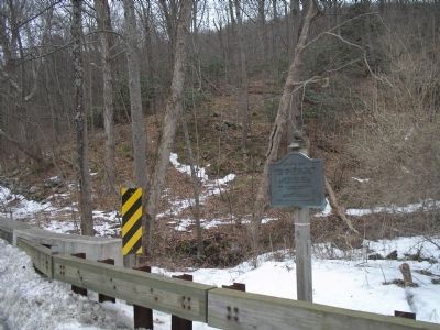
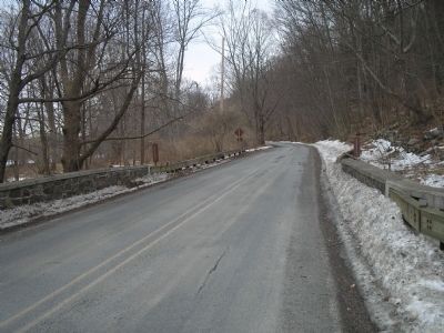
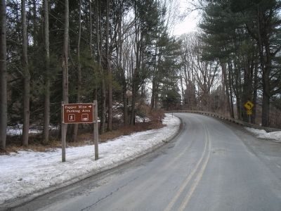
Location. 41° 2.274′ N, 75° 1.686′ W. Marker is near Hardwick Township, New Jersey, in Warren County. Marker is on Old Mine Road, on the right when traveling north. Marker is in the Delaware Water Gap National Recreation Area, near the Copper Mine parking area. Touch for map. Marker is in this post office area: Blairstown NJ 07825, United States of America. Touch for directions.
Other nearby markers. At least 8 other markers are within 4 miles of this marker, measured as the crow flies. This National Park Is Our Home (approx. 1.4 miles away in Pennsylvania); Wild & Scenic River (approx. 1.4 miles away in Pennsylvania); Delaware Water Gap (approx. 1.4 miles away in Pennsylvania); Dutch Settlers (approx. 1.9 miles away in Pennsylvania); Smithfield Church (approx. 2.1 miles away in Pennsylvania); Delaware Water Gap National Recreation Area (approx. 2.3 miles away in Pennsylvania); Marshalls Creek Explosion (approx. 3.2 miles away in Pennsylvania); Fort Hyndshaw (approx. 3˝ miles away in Pennsylvania).
Related markers. Click here for a list of markers that are related to this marker. Markers related to the Old Mine Road.
Also see . . .
1. The Old Mine Road in New Jersey. Legends of America website entry (Submitted on November 2, 2021, by Larry Gertner of New York, New York.)
2. Return to the Old Mine Road. New Jersey’s Great Northwest Skylands website. (Submitted on March 7, 2009, by Bill Coughlin of Woodland Park, New Jersey.)
Credits. This page was last revised on June 19, 2023. It was originally submitted on March 7, 2009, by Bill Coughlin of Woodland Park, New Jersey. This page has been viewed 1,842 times since then and 18 times this year. Photos: 1, 2, 3, 4. submitted on March 7, 2009, by Bill Coughlin of Woodland Park, New Jersey.


